 Norfolk Island
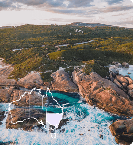
 South Coast
 Outback NSW
 Snowy Mountains
 Blue Mountains
 Lord Howe Island
 Central Coast
 Greater Sydney
 Country NSW


 Join Now
 Jindabyne, New South Wales
Australian Alps Walking Track
Australian Alps Walking Track
Kosciuszko Road, Walahalla To Canberra (including Kosciusko National Park), Jindabyne, New South Wales, Australia, 2627
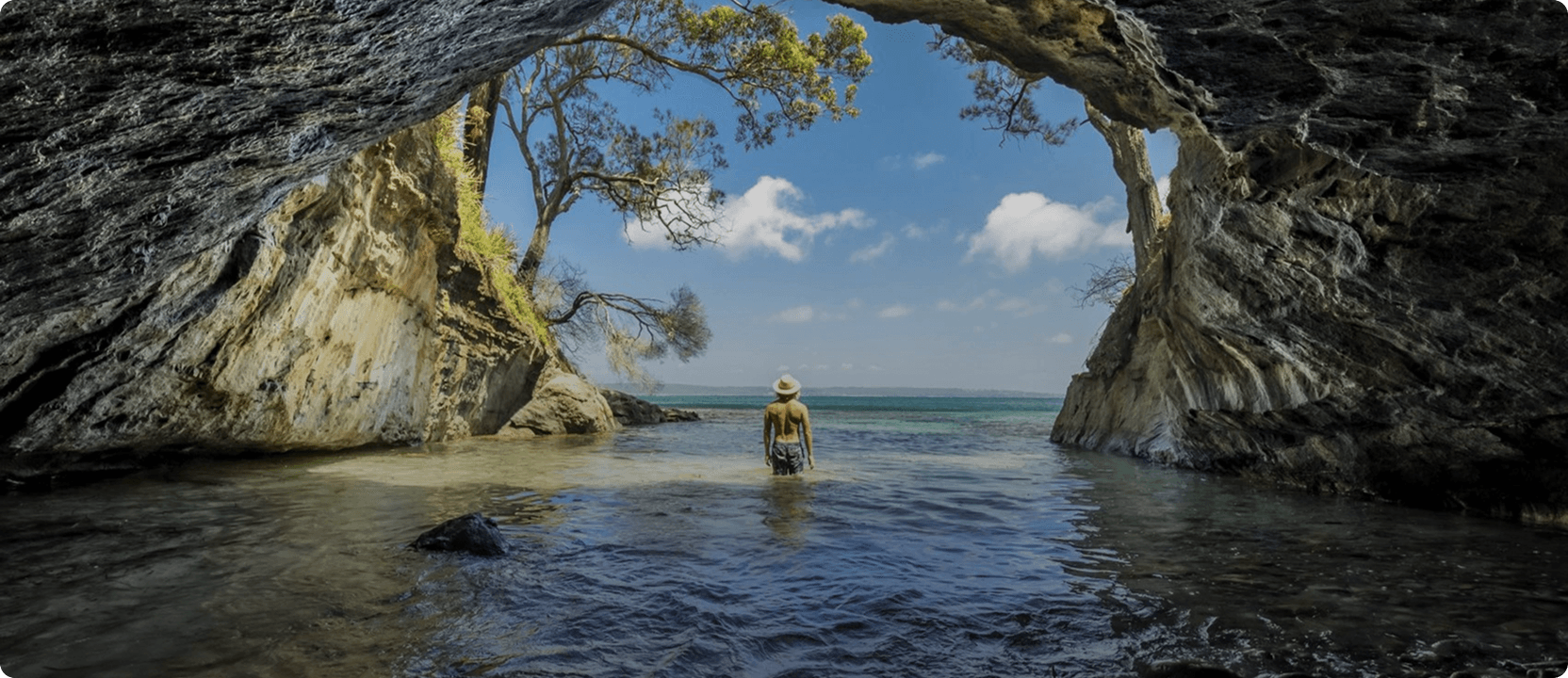
The Australian Alps extend from Canberra and the nearby Brindabella range, through the Snowy Mountains of New South Wales and along the Great Dividing Range to the northeast of Melbourne. It forms the largest area of mountainous alpine country in the nation!
More than ten peaks in the Alps exceed 2100 metres, including Mt Kosciuszko, Australia's highest mountain at 2228 metres.
The 655-kilometres Australian Alps Walking Track generally follows ridges and high plains through some of the highest countries in Australia and is mostly remote from any settlement.
You can walk the track in ten weeks, but many people choose to walk shorter sections such as Baw Baw Plateau, Bogong High Plains and the Jagungal Wilderness.
Please note: before exploring the Alps, walkers must obtain detailed maps of their chosen walking area including a copy of "Alpine Walking Track" by J. Siseman.
Address
Kosciuszko Road, Walahalla To Canberra (including Kosciusko National Park), Jindabyne, New South Wales, Australia, 2627
Phone
6450 5600You might also like...
 Yarra Valley & Dandenong Ranges, Victoria
1 / 1

Starting Planning your next thing With Us
Your next big adventure awaits, and Things to Do is here to help make that run smoothly! Join today and take advantage of our easy to use features.
Join Now