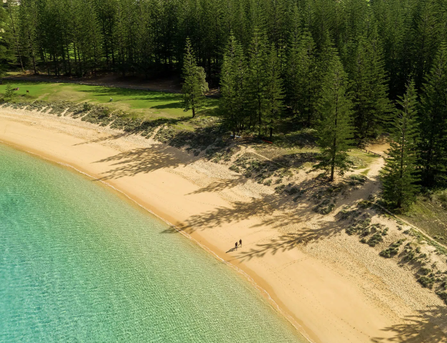
 Norfolk Island
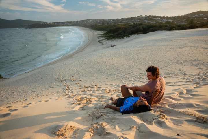
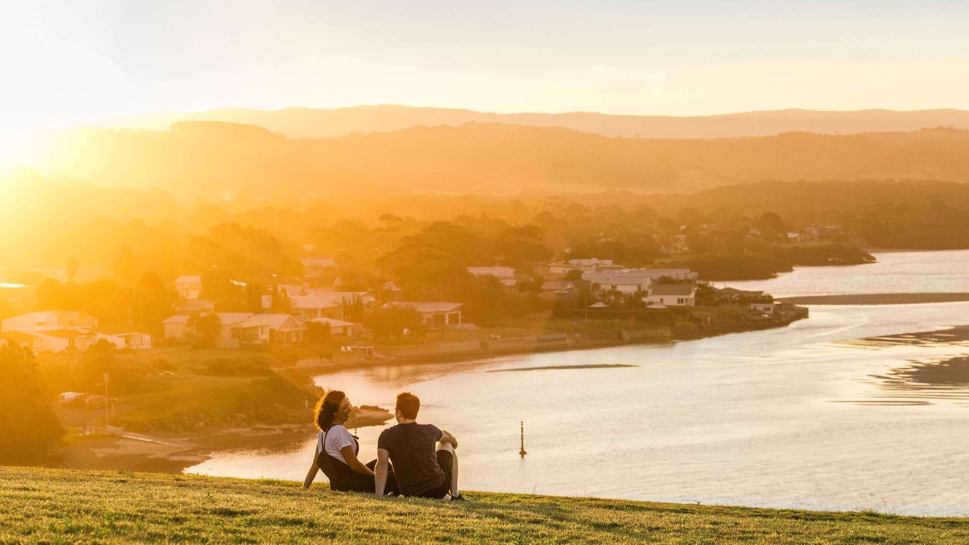 South Coast
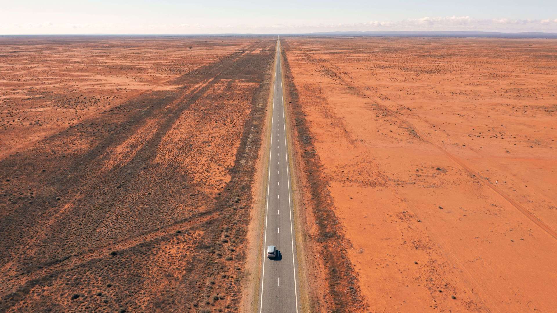 Outback NSW
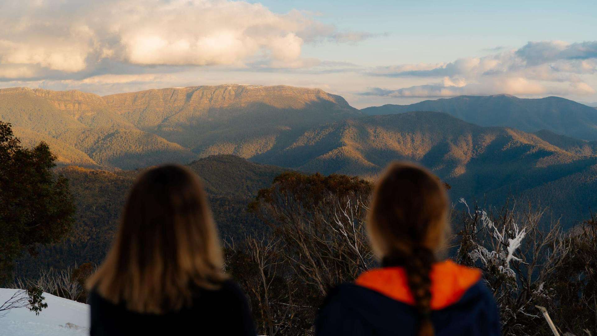
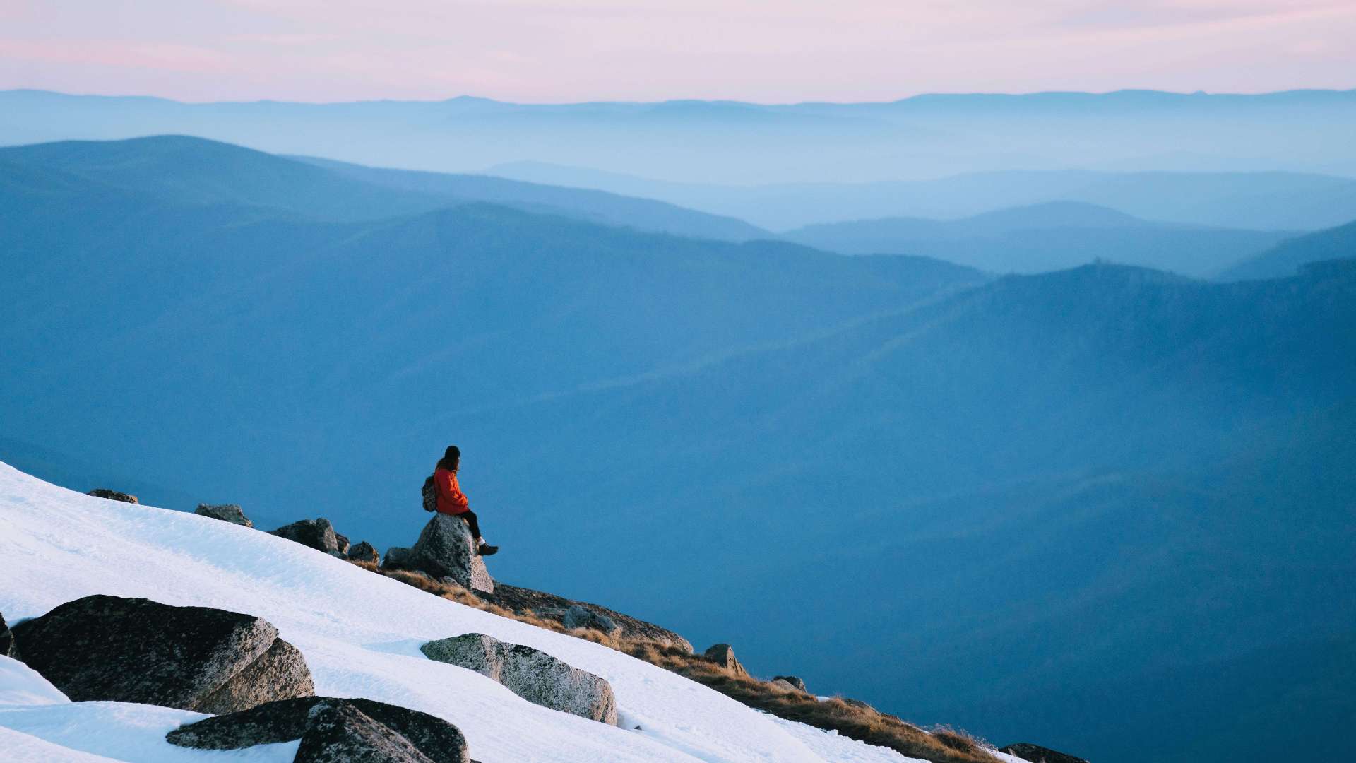 Snowy Mountains
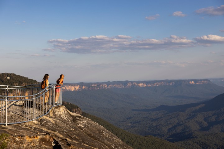 Blue Mountains
 North Coast
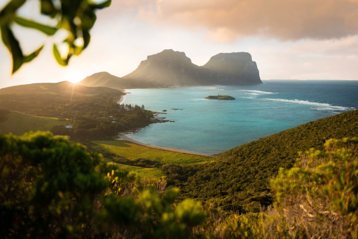 Lord Howe Island
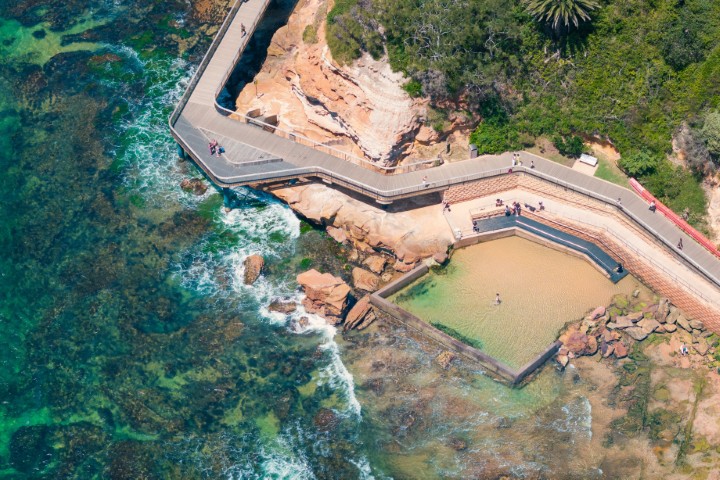 Central Coast
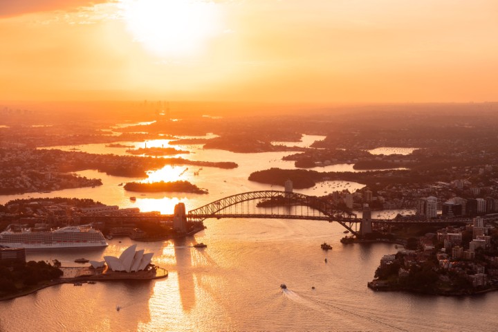 Greater Sydney
 Country NSW

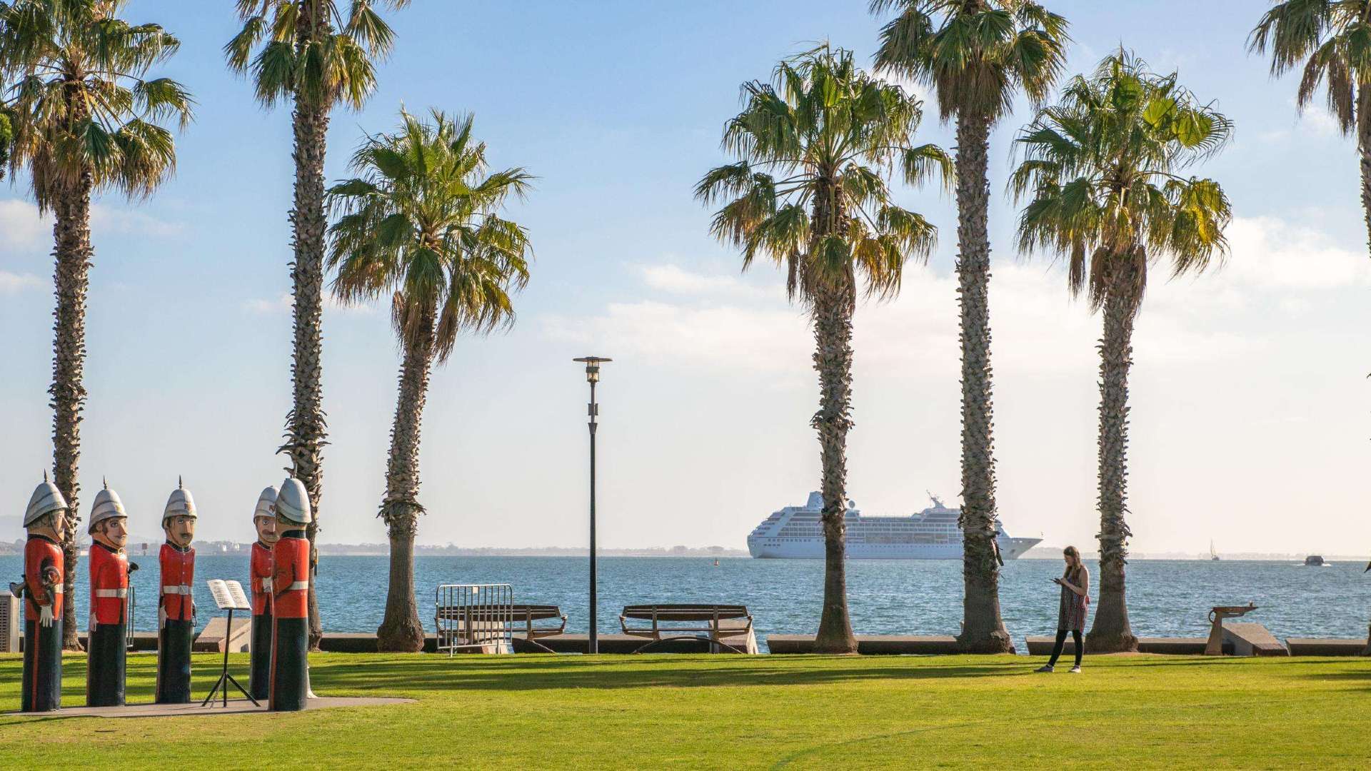 Geelong & the Bellarine
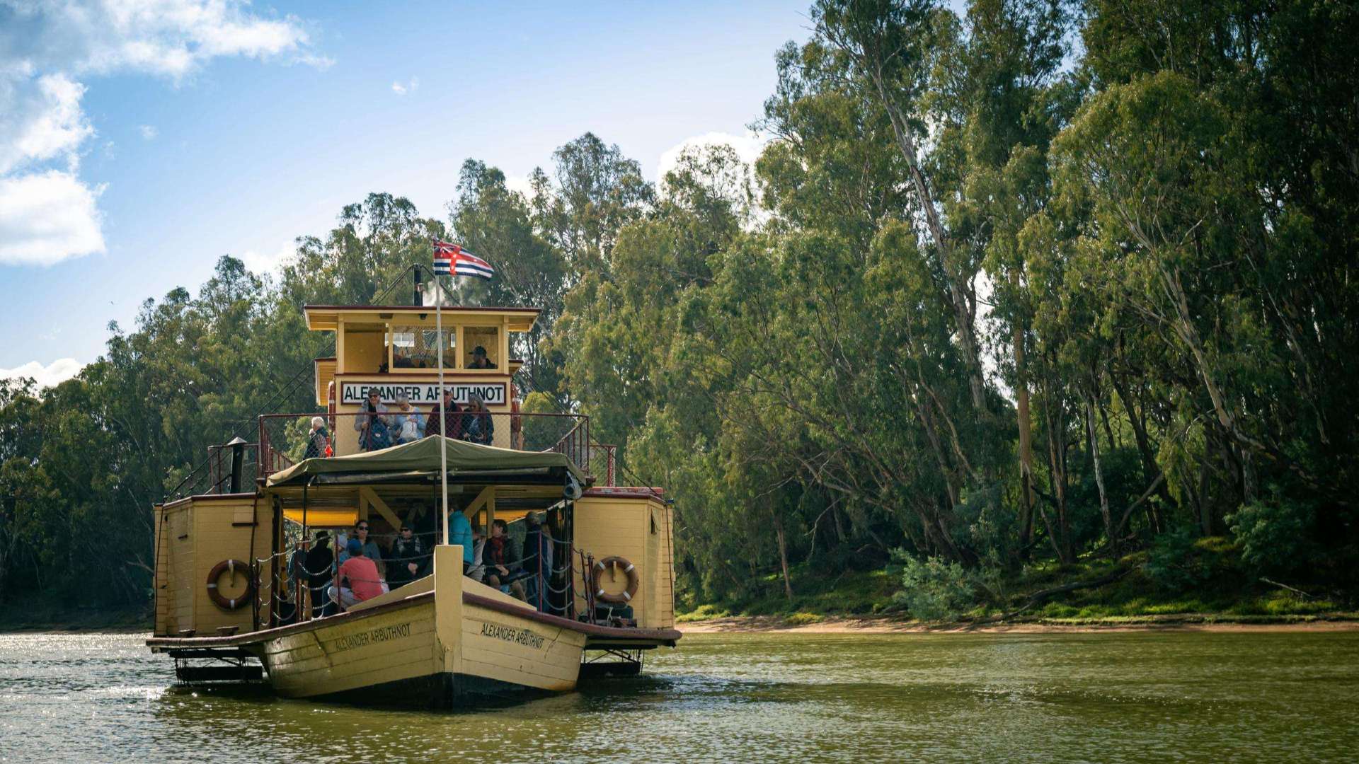 The Murray
 Goldfields
 Daylesford & the Macedon Ranges
 Yarra Valley & Dandenong Ranges
 Gippsland
 Mornington Peninsula
 Melbourne
 High Country
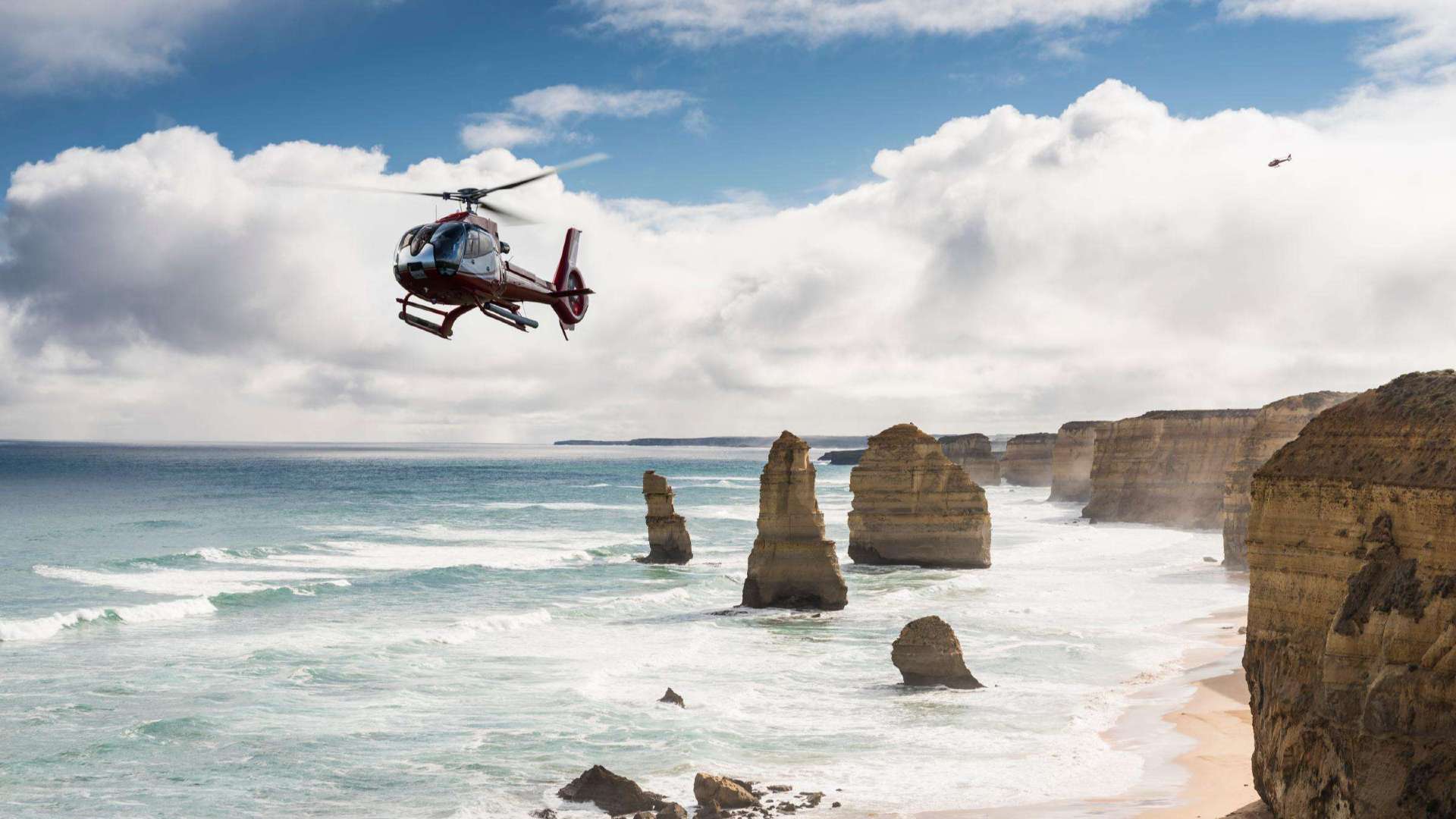 Great Ocean Road

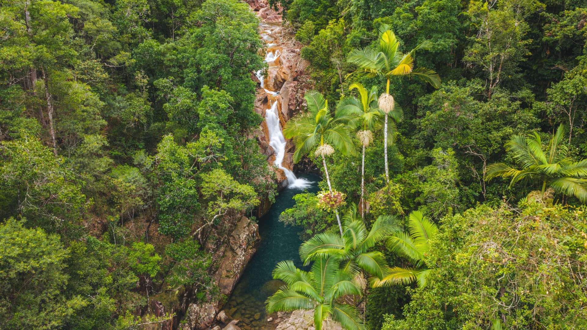
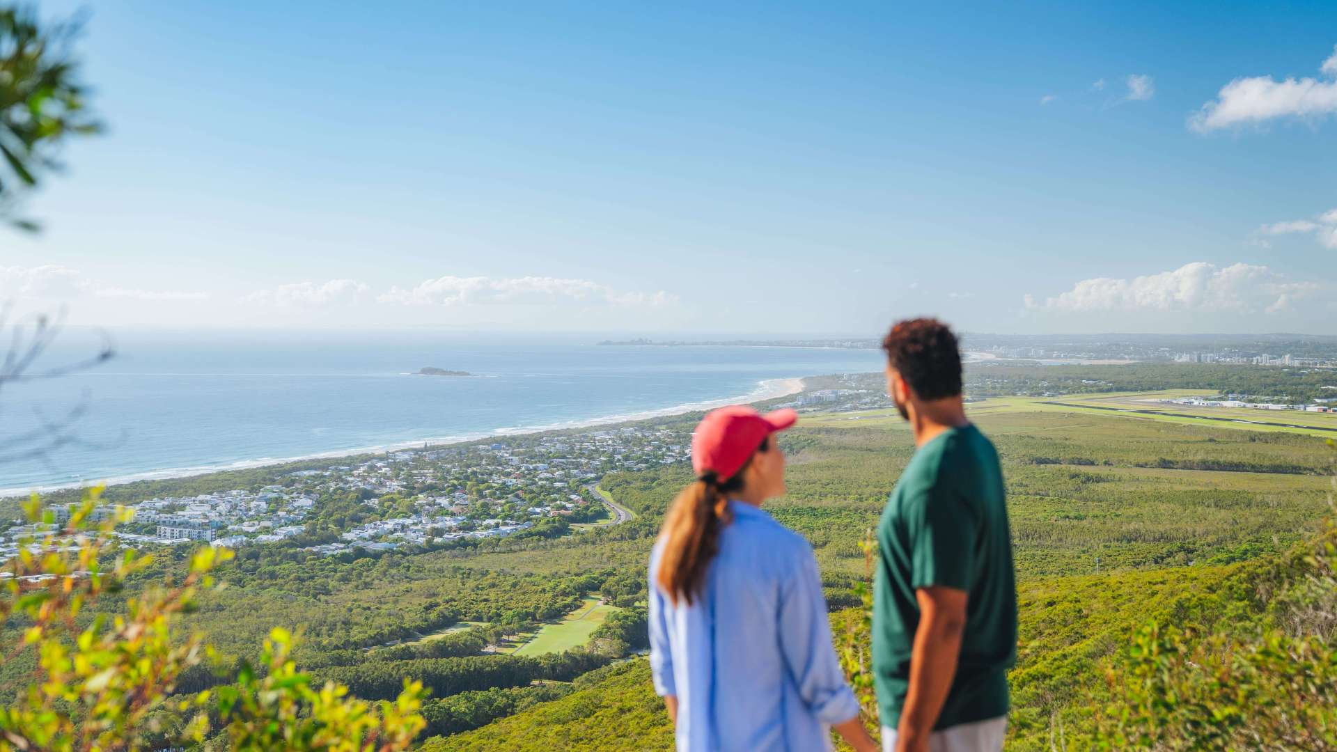 Sunshine Coast Region
 Mackay Region
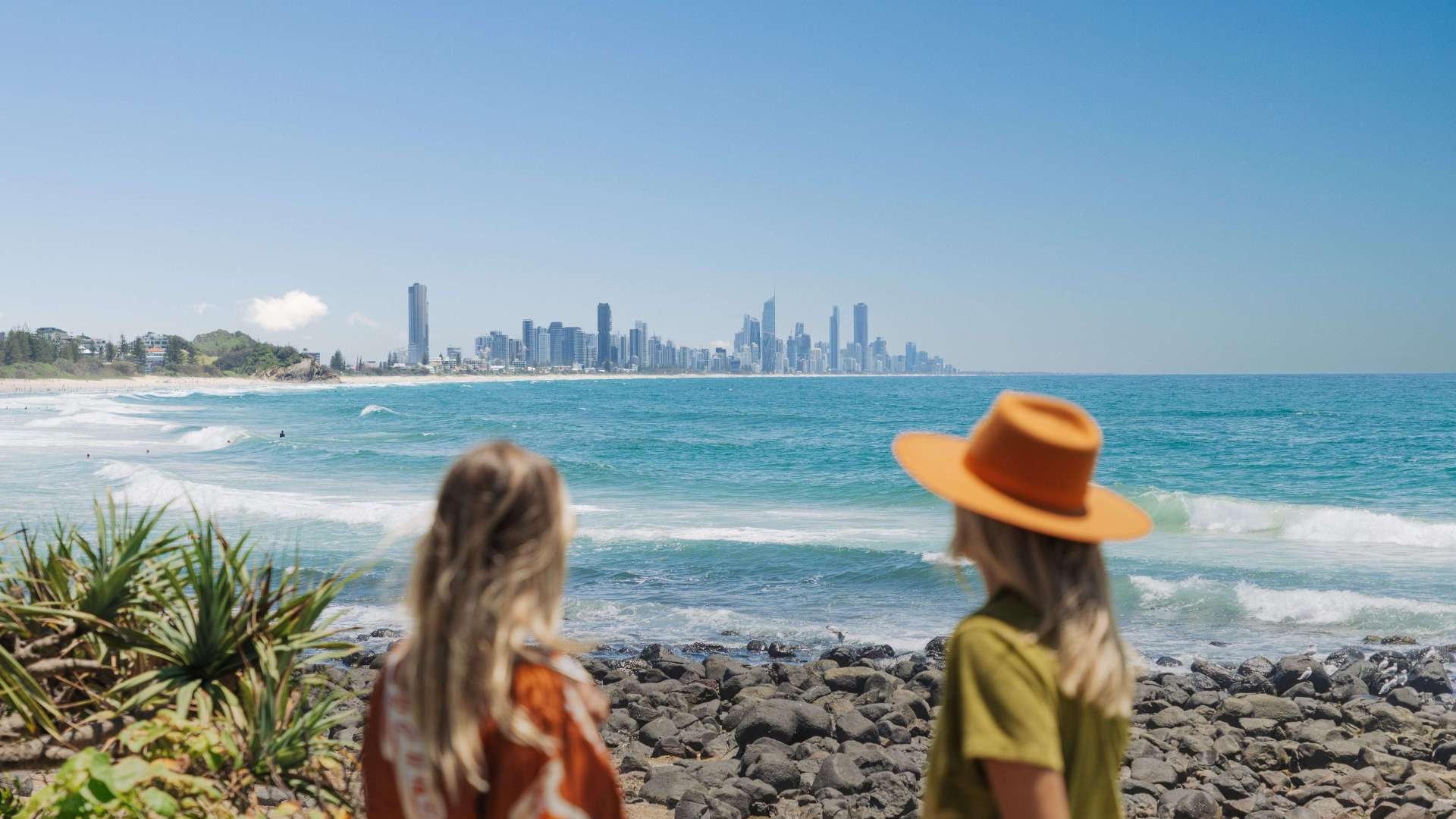 Gold Coast Region
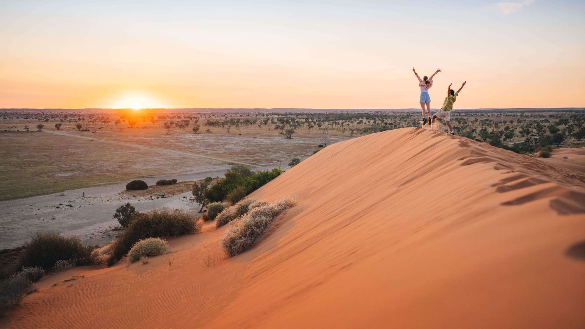 Far West
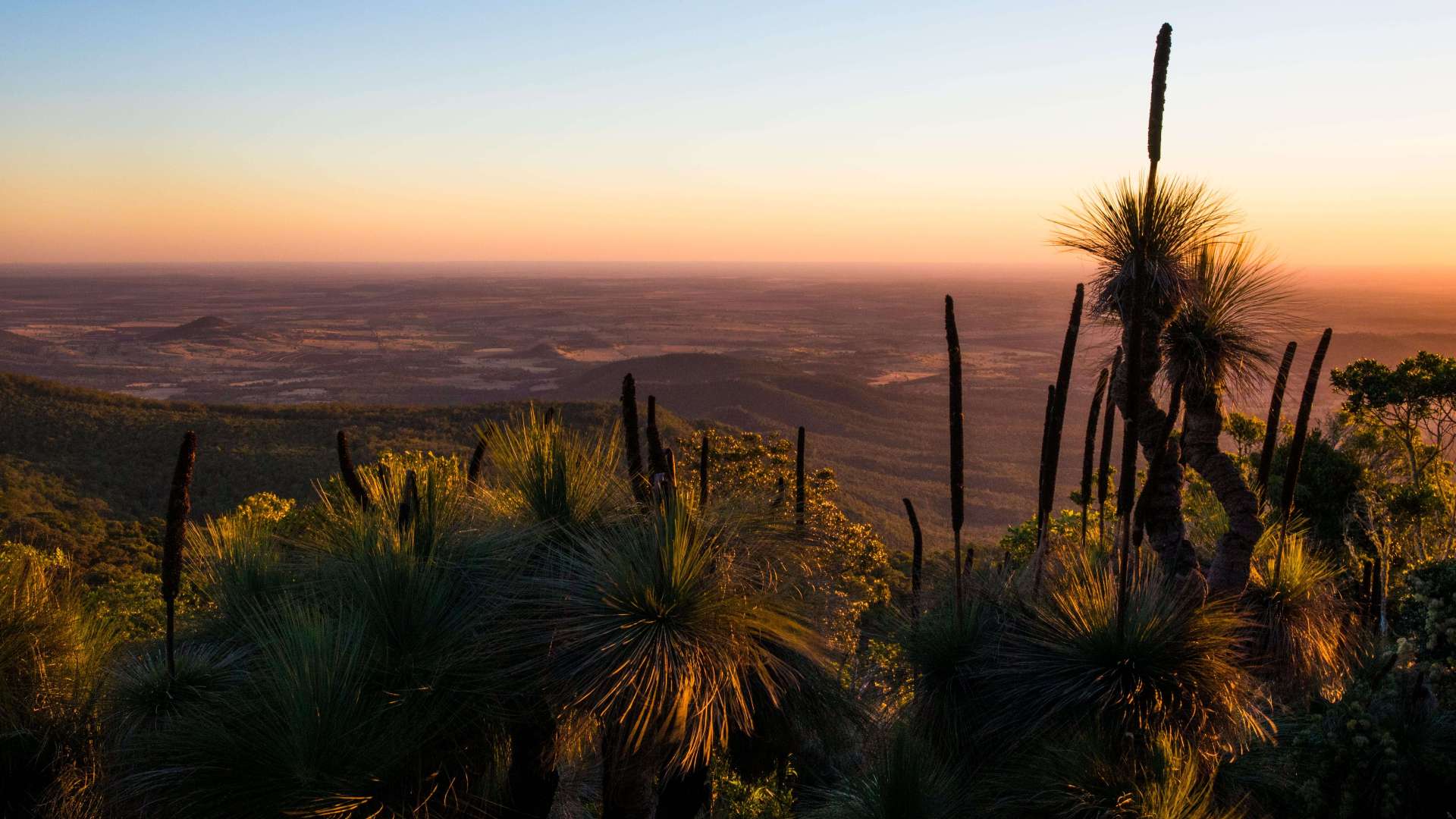 Western Downs Region
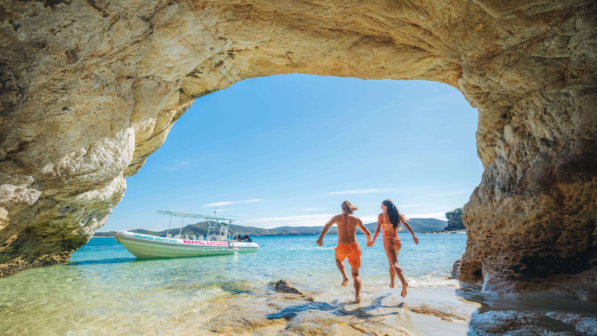 Capricorn Region
 Townsville Region
 Fraser Coast Region
 Gulf Savannah
 Gladstone Region
 Cocos (Keeling) Islands
 Australia's South West
 Destination Perth
 Australia's Coral Coast
 Australia's North West
 Australia's Golden Outback
 Christmas Island

 Limestone Coast
 Murray River, Lakes and Coorong
 Yorke Peninsula
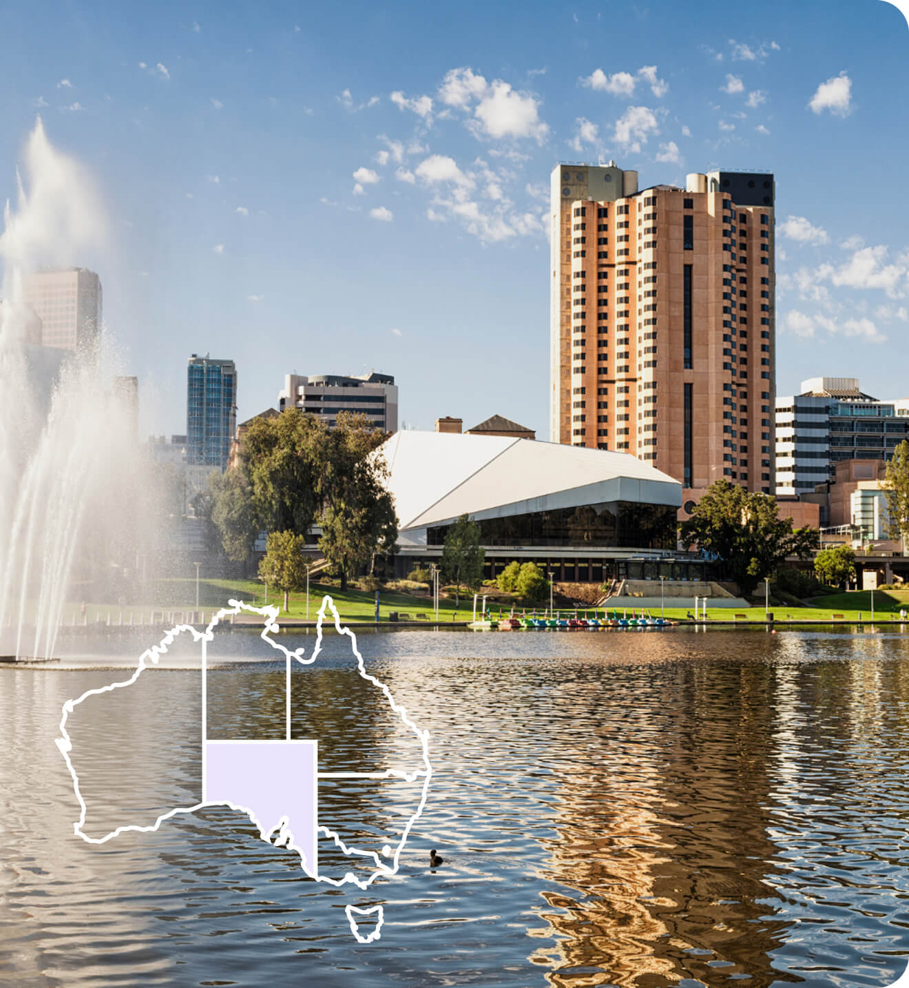
 Adelaide
 Riverland
 Barossa
 Kangaroo Island
 Adelaide Hills
 Flinders Ranges and Outback
 Eyre Peninsula
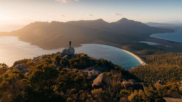 East Coast
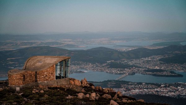 Hobart and South
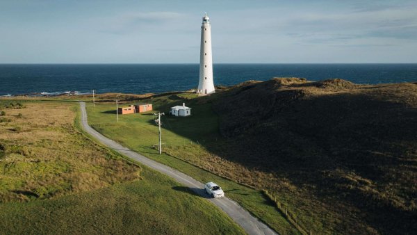 King Island
 North West
 West Coast
 Launceston and North
 Flinders Island
 Uluru/Kata Tjuta Region
 Kakadu
 Alice Springs & Surrounds
 Darwin & Surrounds
 Tennant Creek & Barkly Region
 Arnhem Land
 Katherine & Surrounds
 Canberra Region


Bindea Walking Track
 Make a Booking


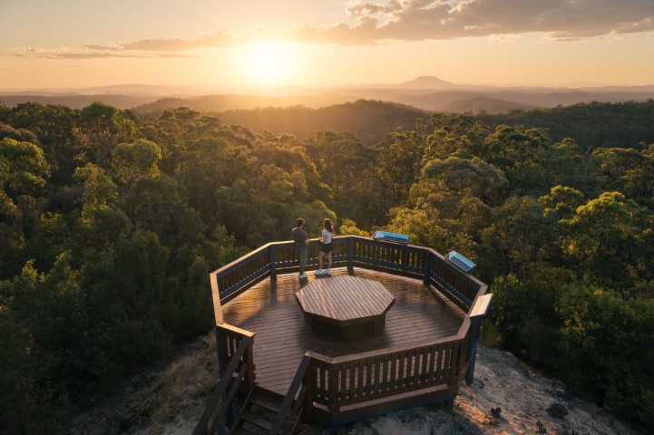
Bindea Walking Track
Anzac Park and Porcupine Lookout, 81 Chandos Street, Gunnedah, New South Wales, Australia, 2380
Bindea Walking Track is a 22-kilometre walking track network of linked trails offering spectacular views of Gunnedah and the Namoi and Mooki River valleys.
The track got its name from the Kamilaroi people, and it means 'Place where spinifex and shrubs with thorns like porcupine quills grow'.
The track winds its way from Anzac Park around parkland areas and residential streets up into and through the natural bushland of Porcupine Hill, with scenic viewpoints and Lookouts along the way. Trail markings and Information boards tell you about the flora and fauna that you can observe on your walk.
The walk breaks down into a number of trails and will take you about two and a half hours to complete and there are picnic and barbecue areas along the route.
There is a map included in the Gunnedah Visitors Guide and a small information flyer available at the Visitor Information Centre. The 'bush map' includes picnic tables and rest spots along the route and location spots where you can see native birds, fauna and flora.
Address
Anzac Park and Porcupine Lookout, 81 Chandos Street, Gunnedah, New South Wales, Australia, 2380
Phone
6740 2230
Make a Booking
You might also like...
 Sunshine Coast Area, Queensland
1 / 3
Starting Planning your next thing With Us
Your next big adventure awaits, and Things to Do is here to help make that run smoothly! Join today and take advantage of our easy to use features.
Join Now