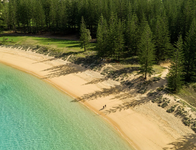
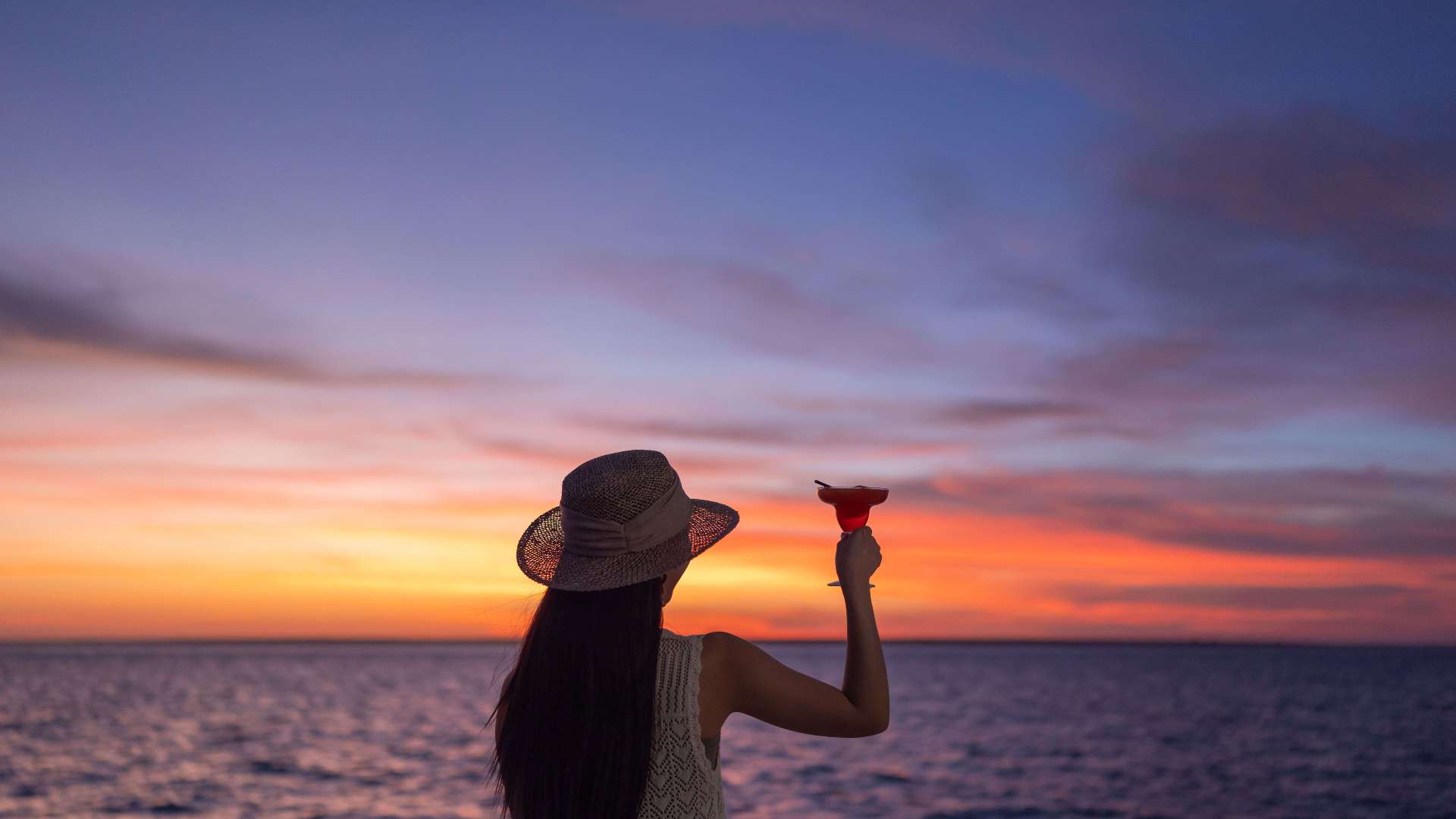
 Norfolk Island
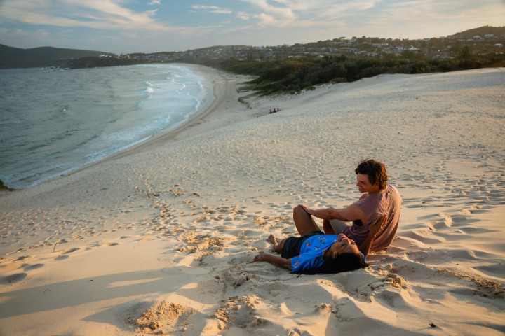
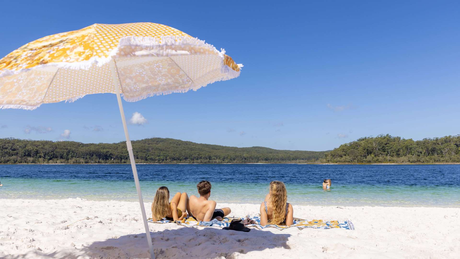
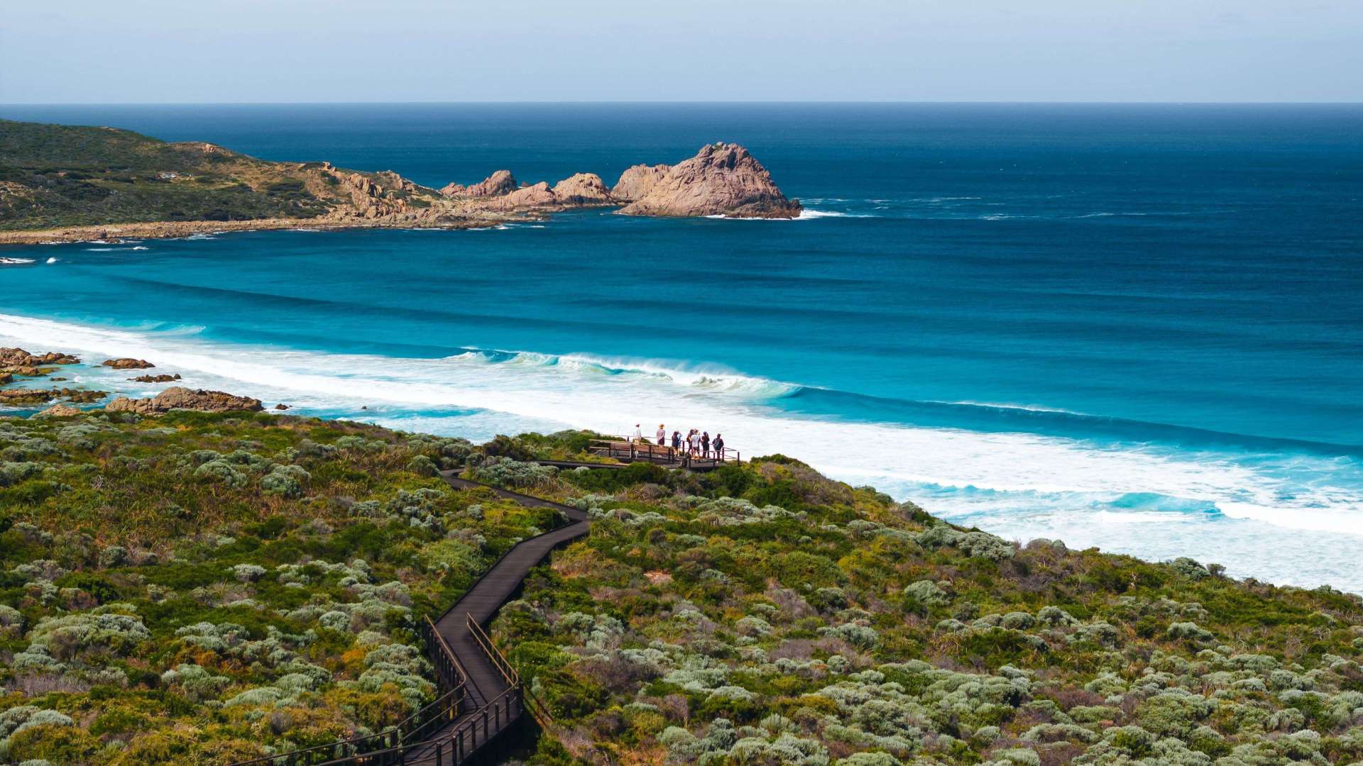
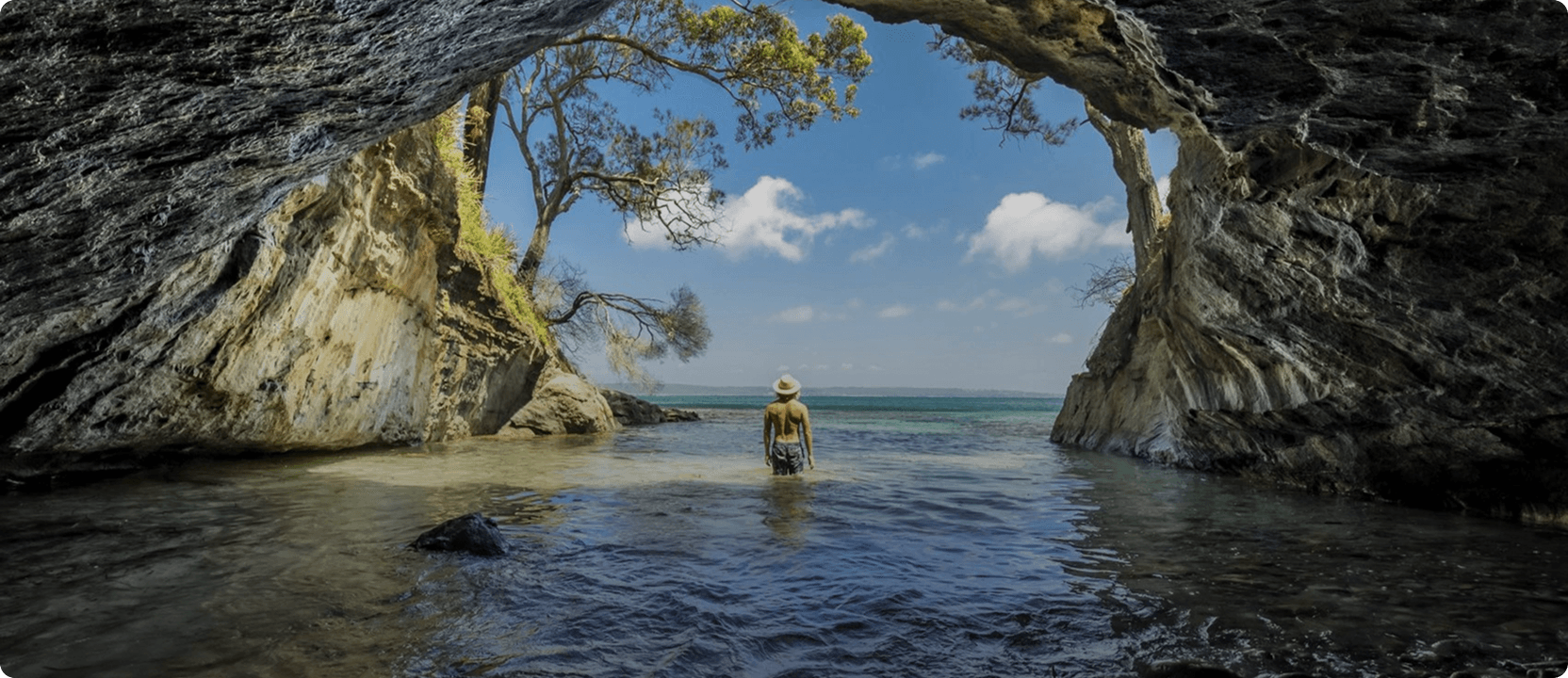
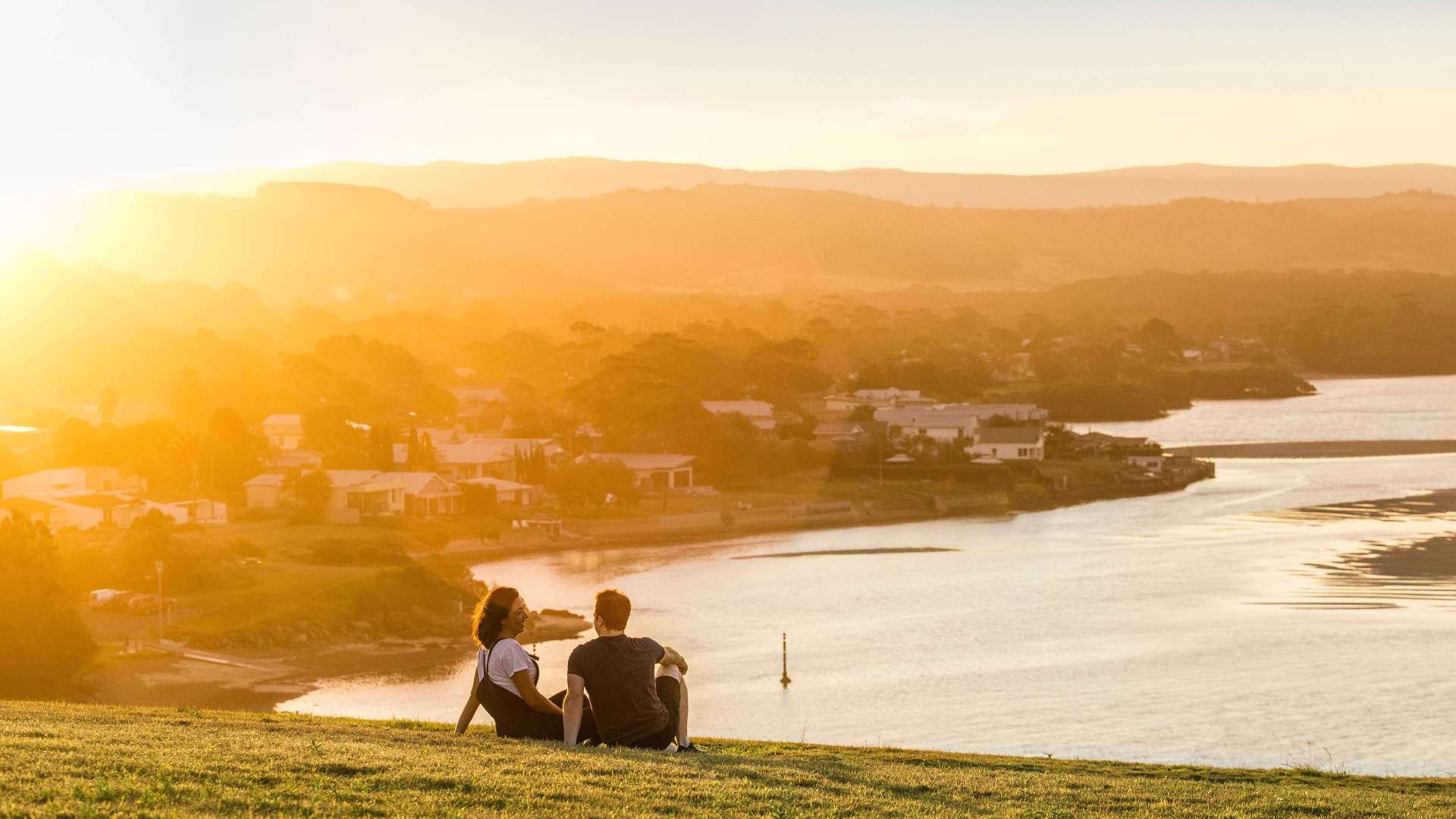 South Coast
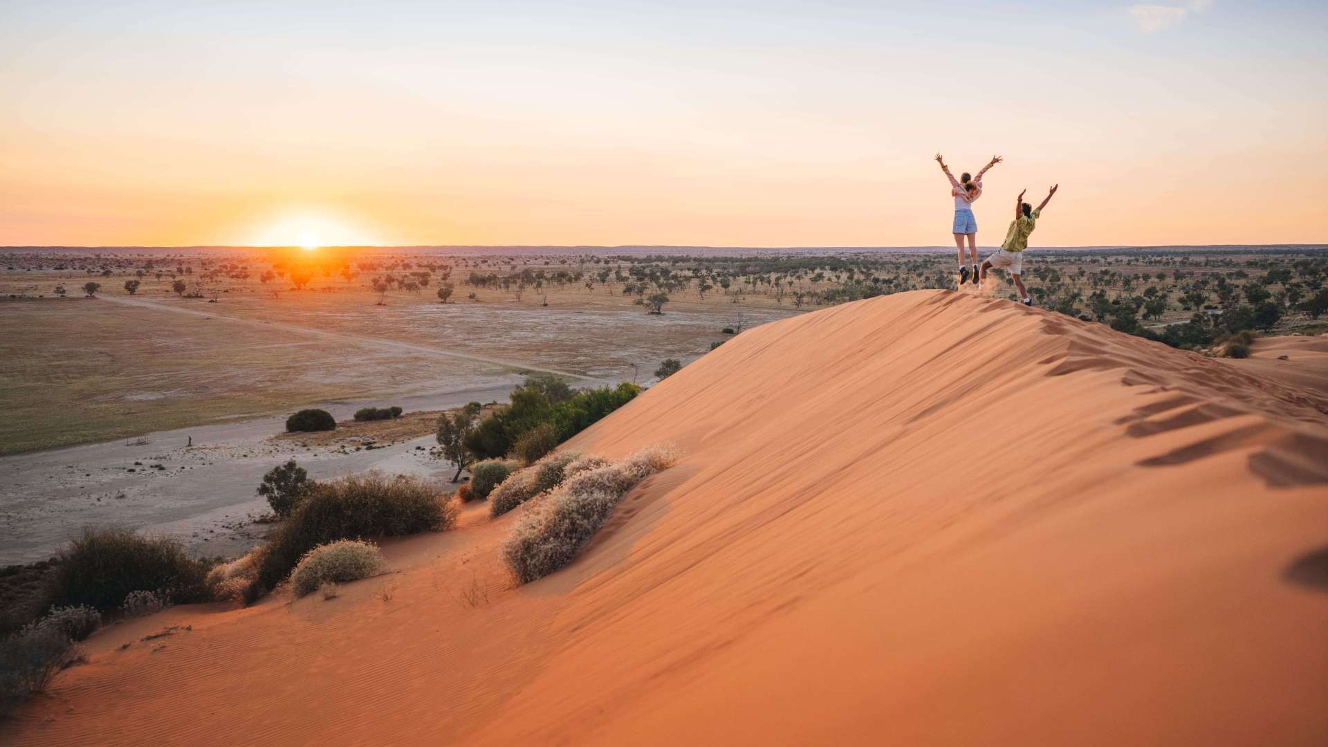
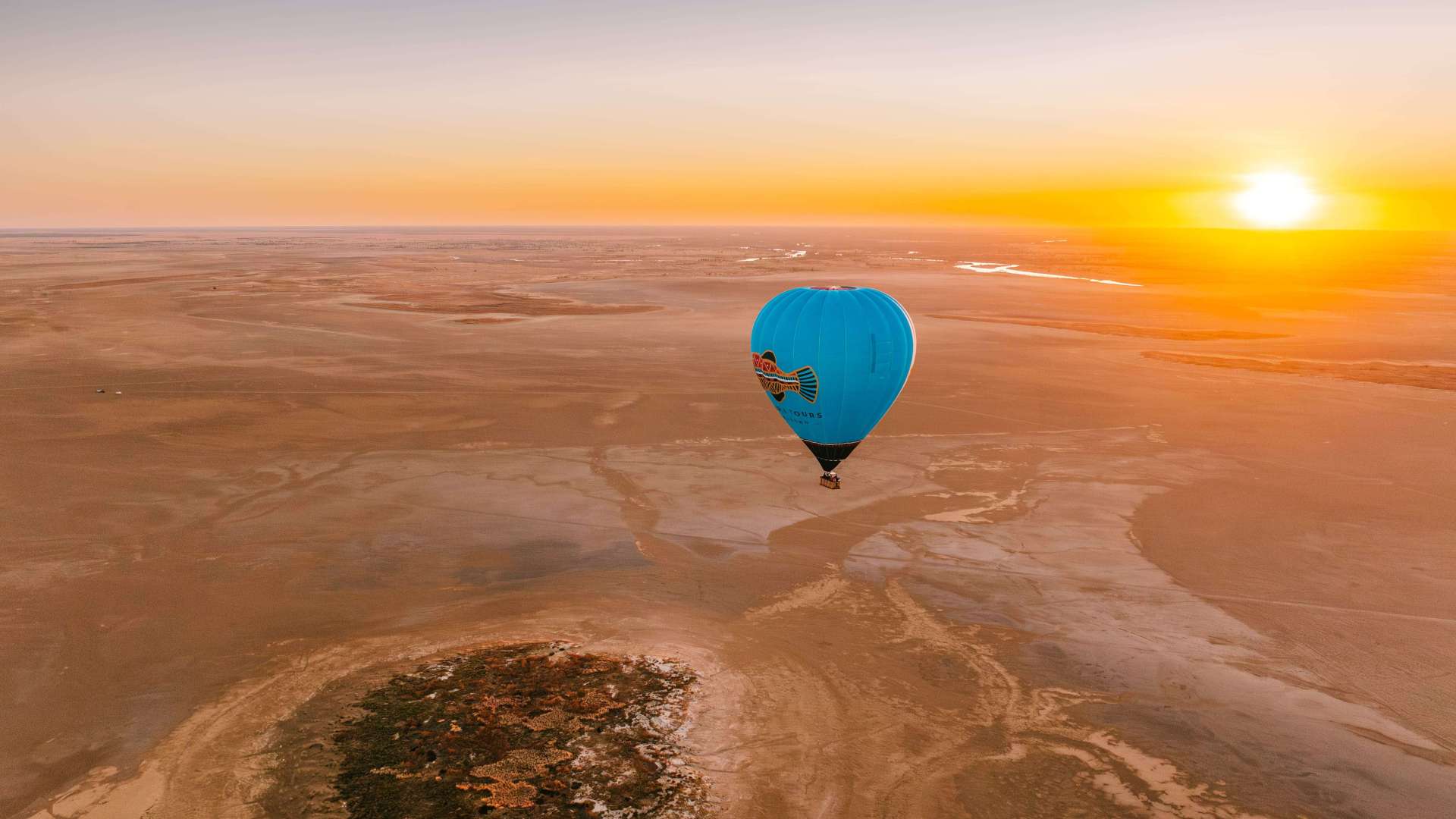
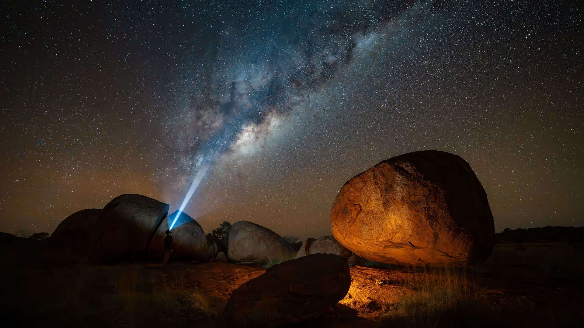
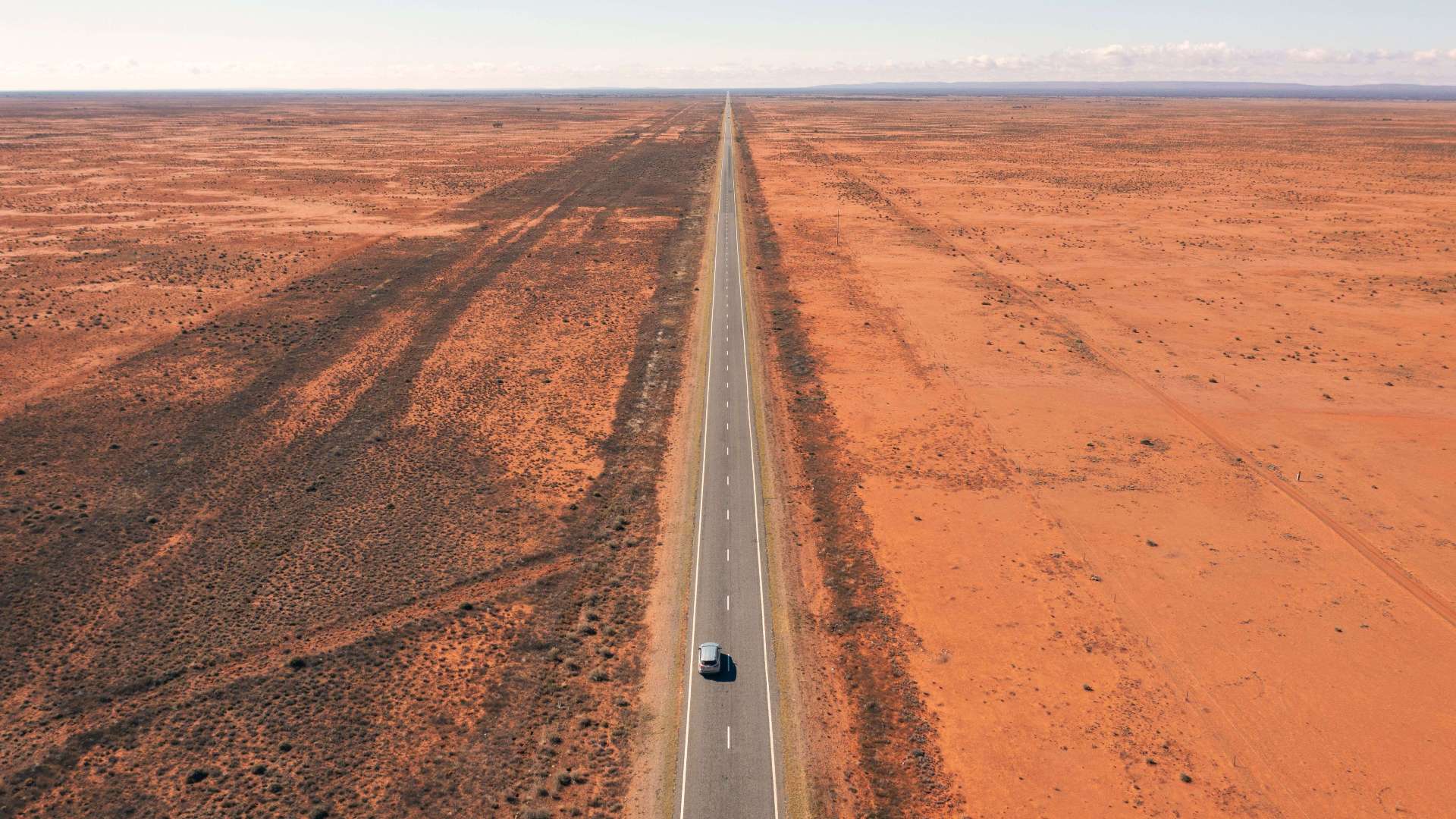 Outback NSW
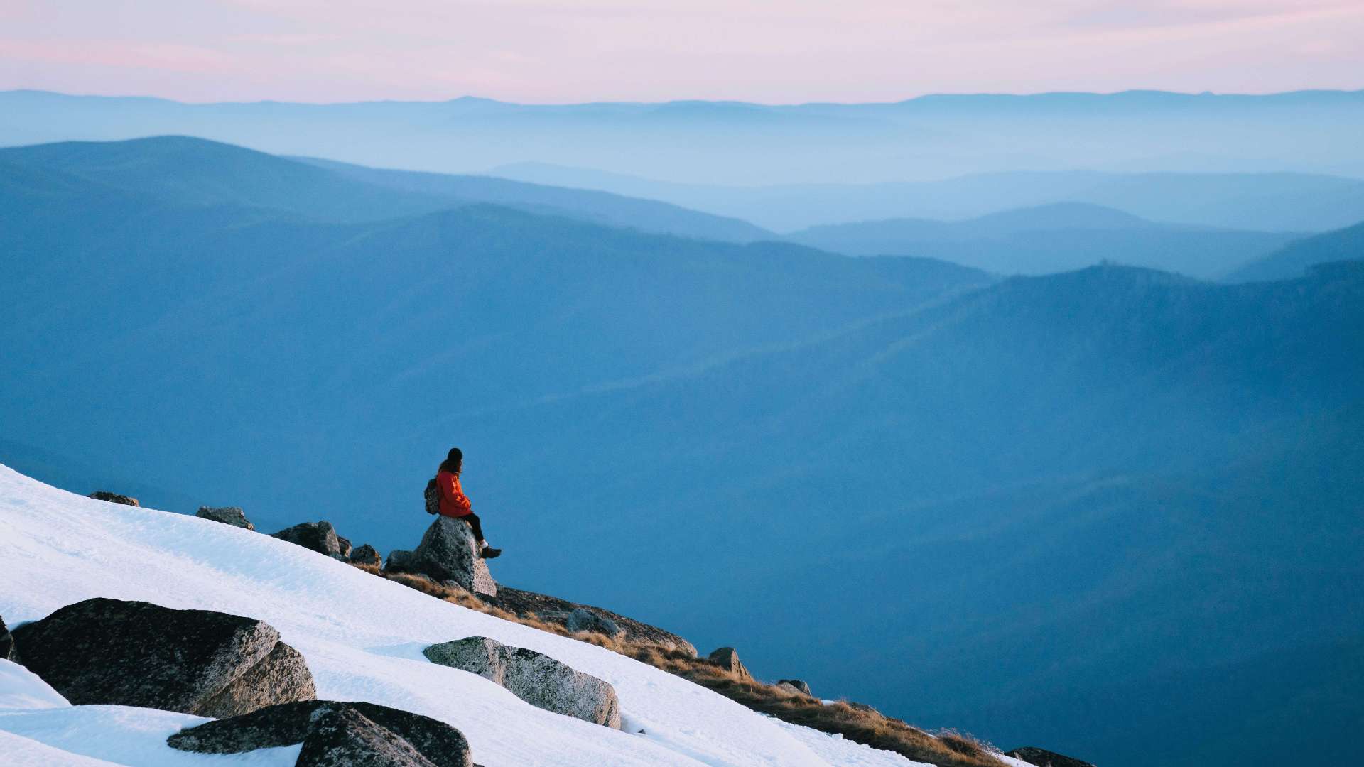 Snowy Mountains
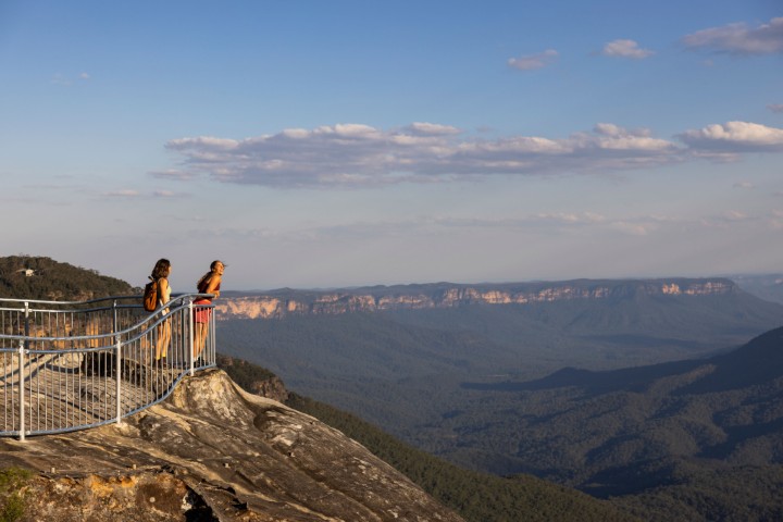 Blue Mountains
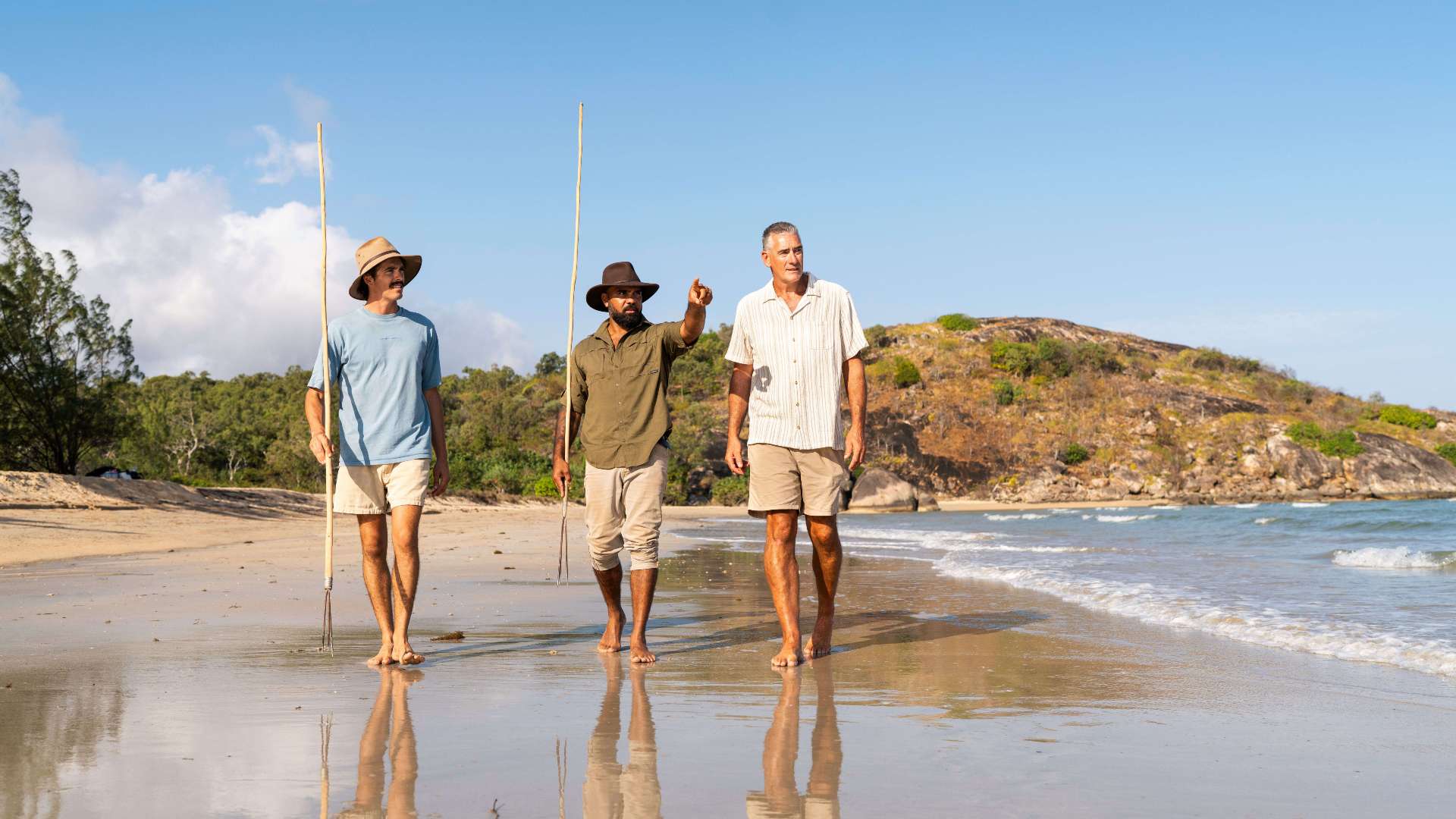
 North Coast
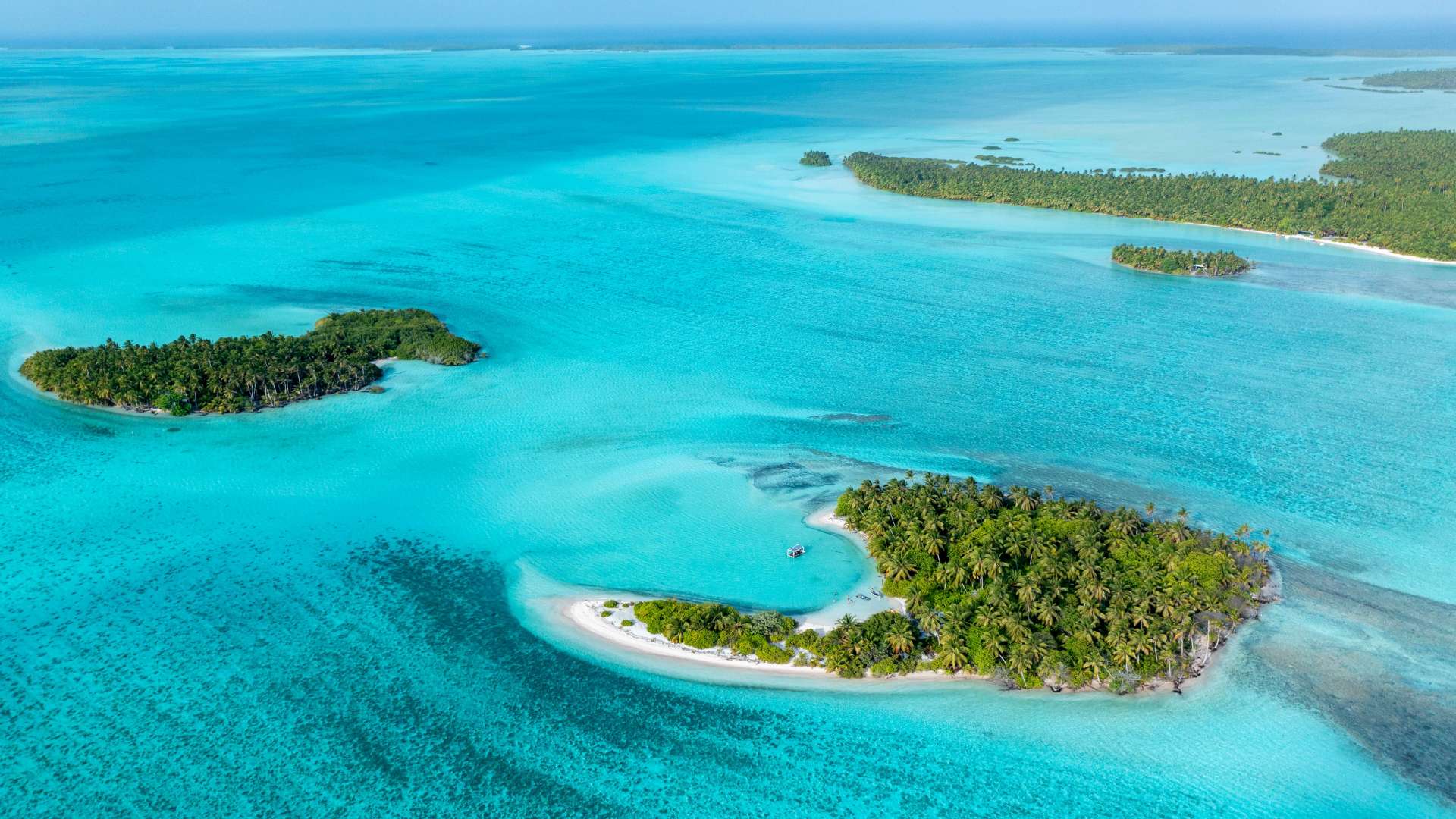
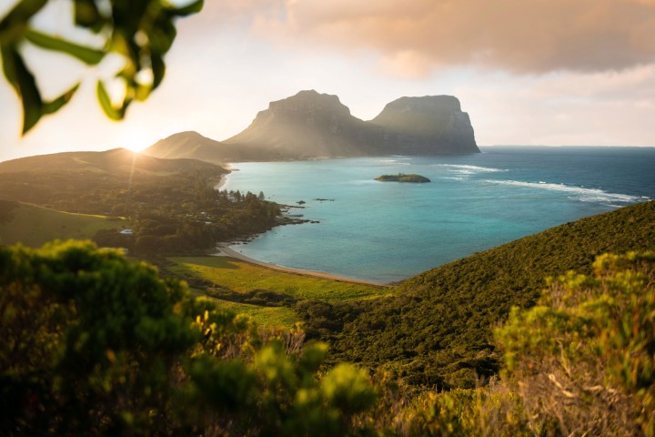 Lord Howe Island
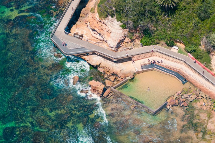 Central Coast
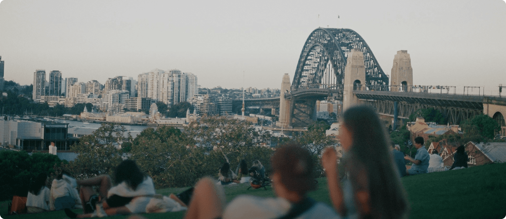
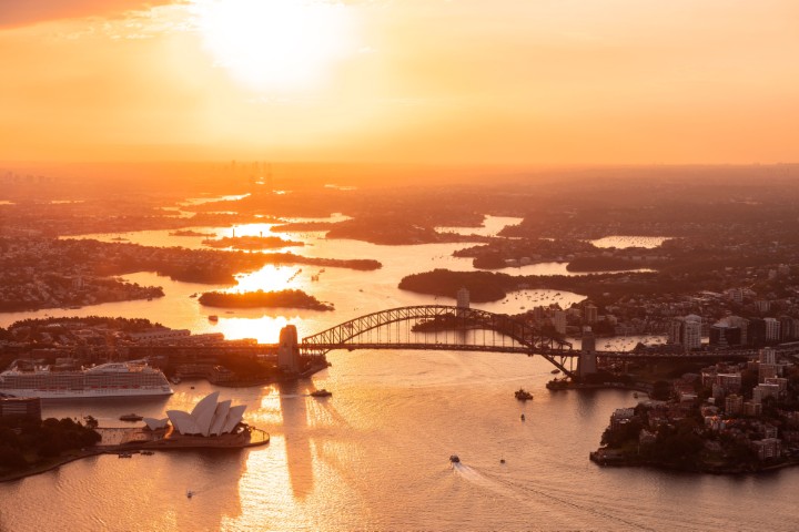 Greater Sydney
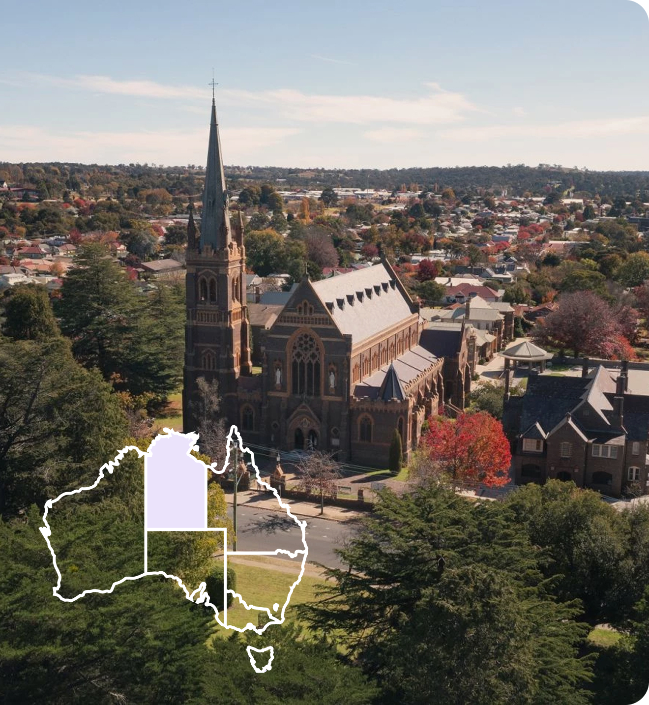
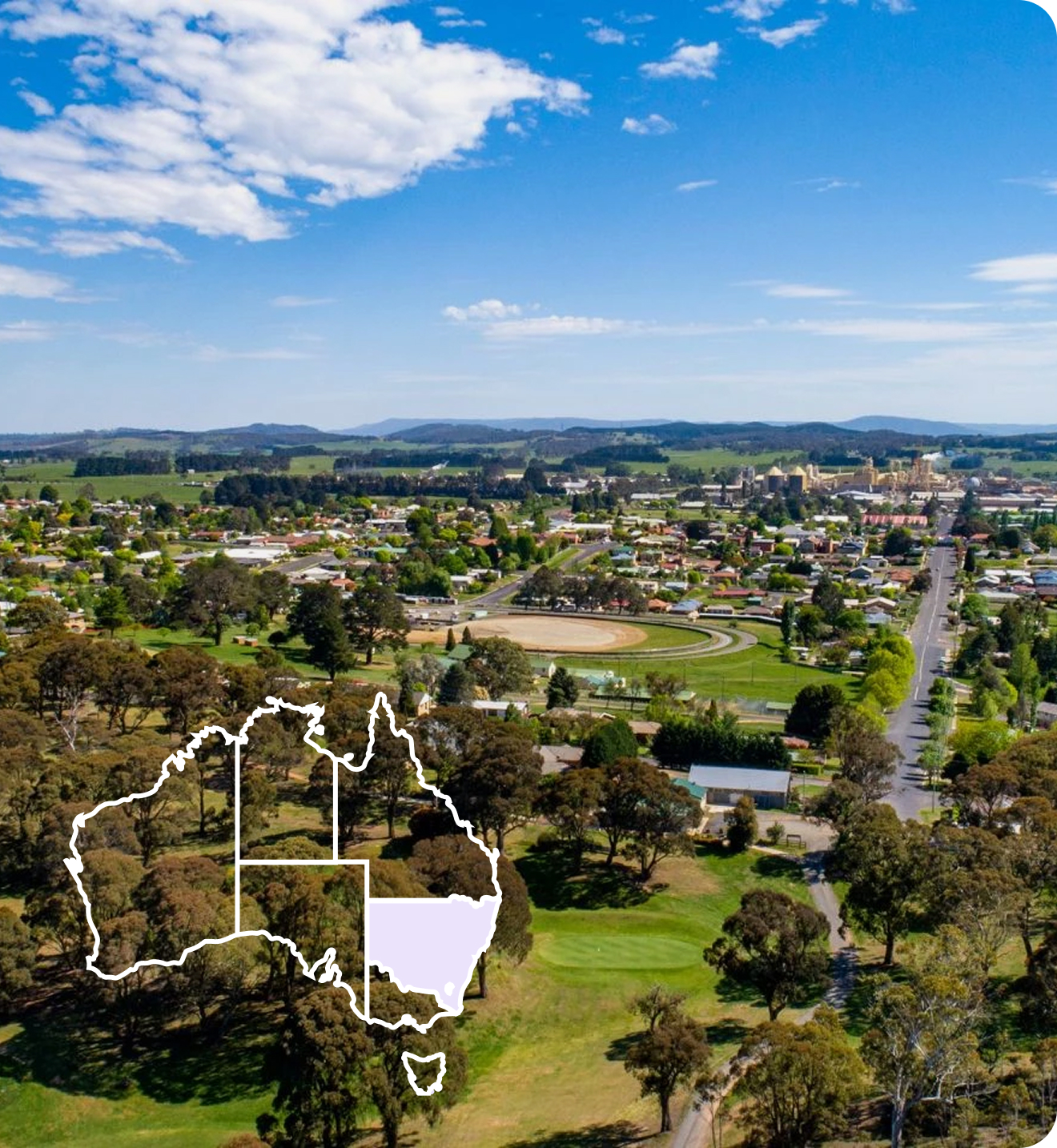
 Country NSW
 Geelong & the Bellarine
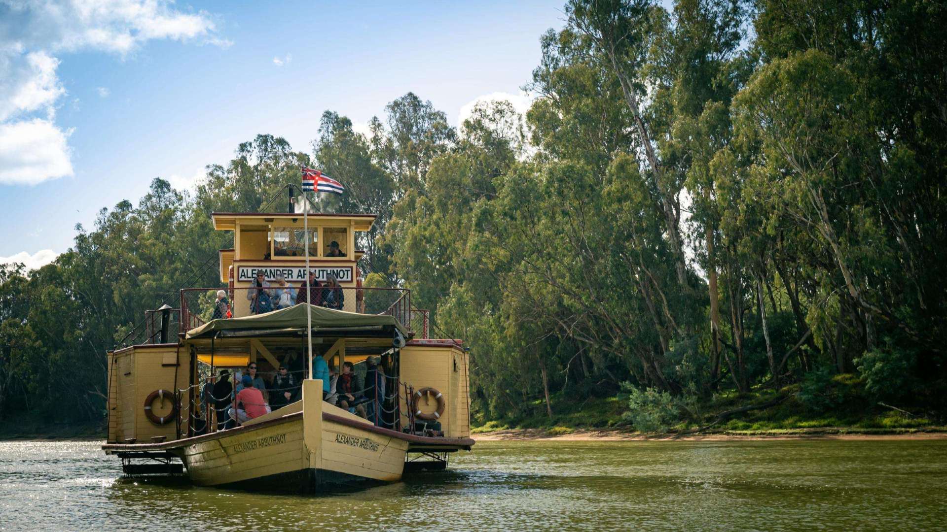 The Murray
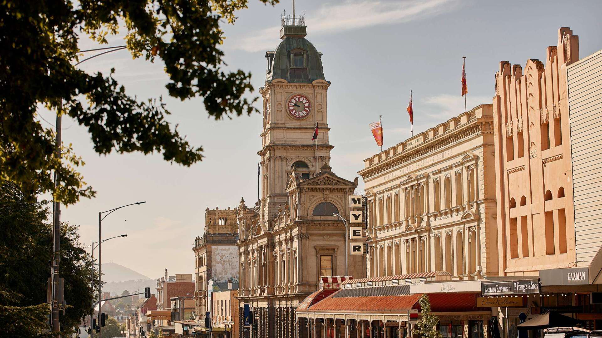 Goldfields
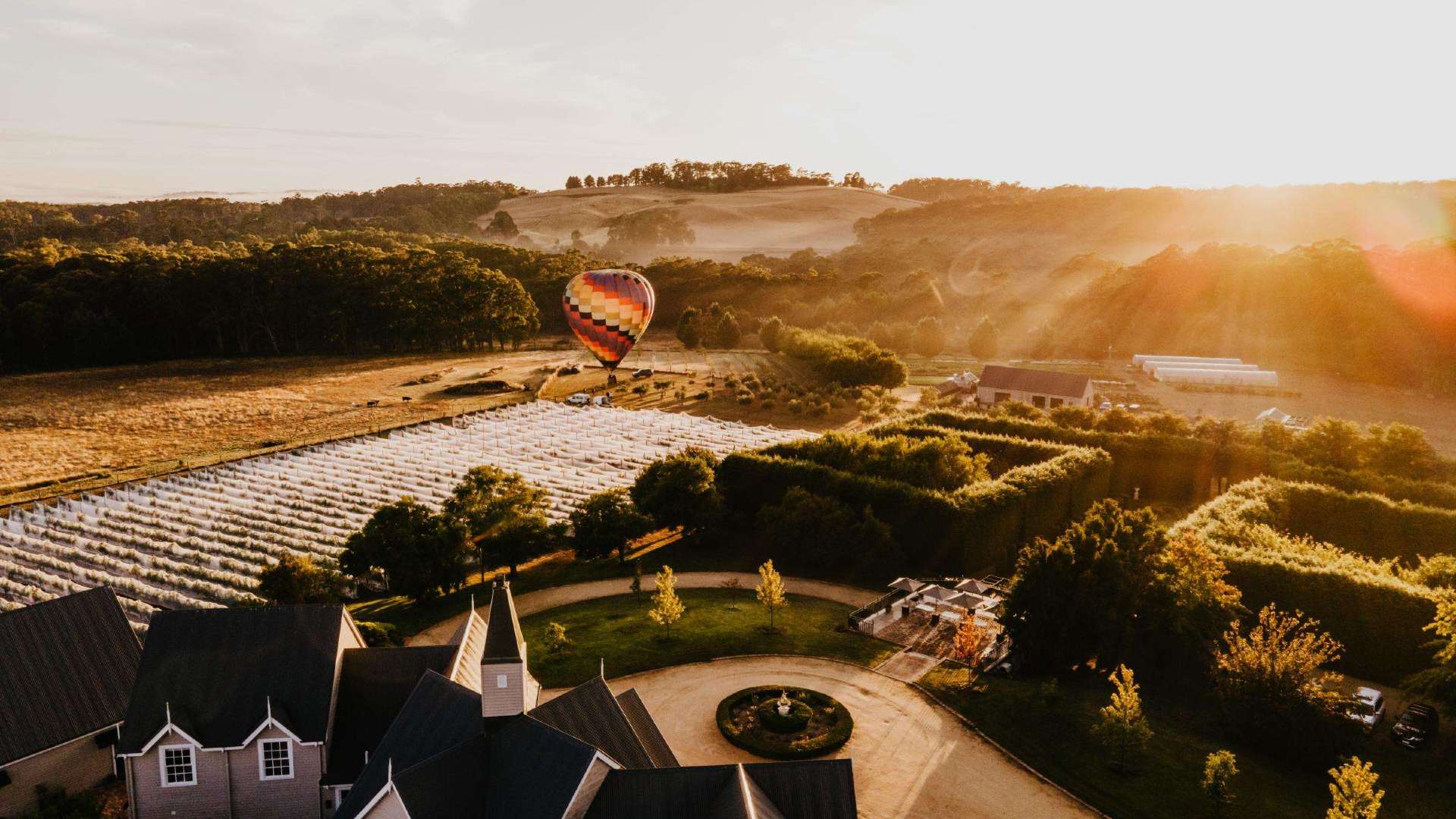 Daylesford & the Macedon Ranges
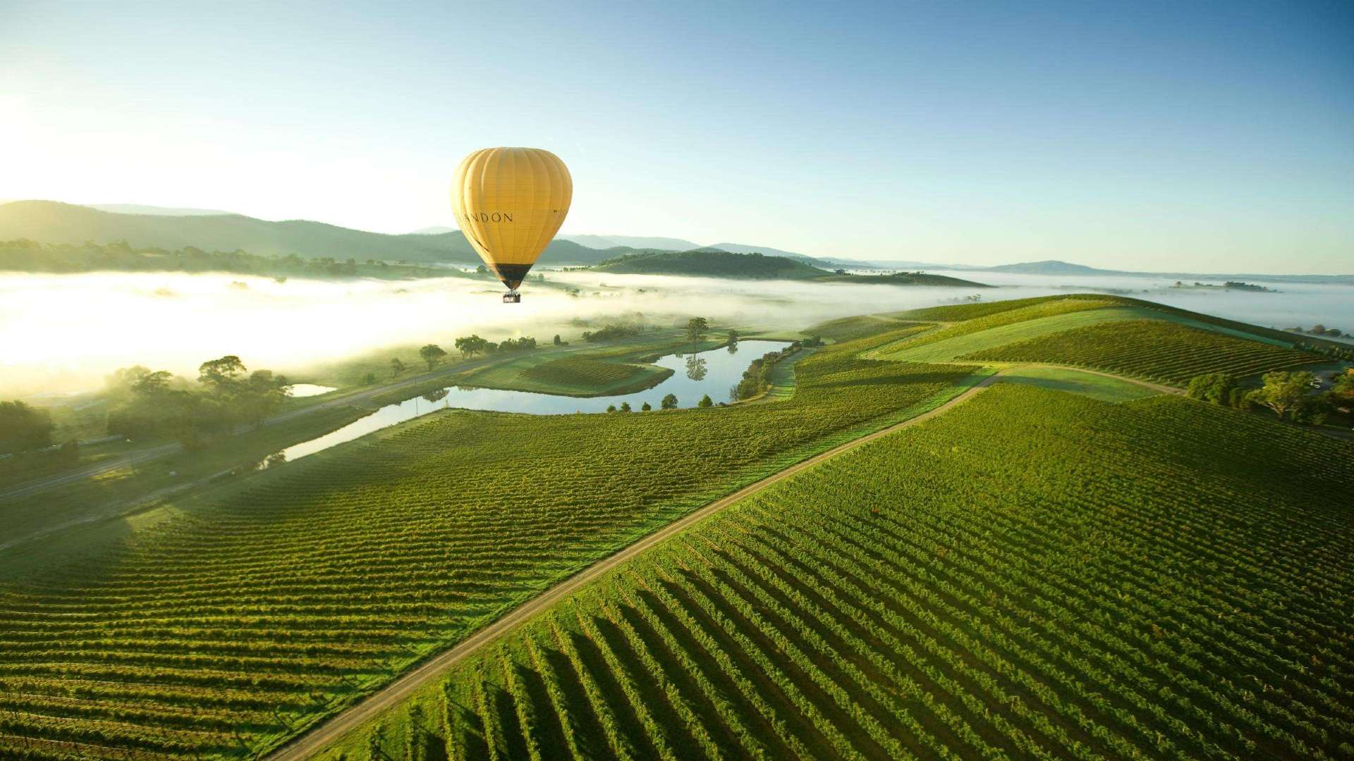 Yarra Valley & Dandenong Ranges
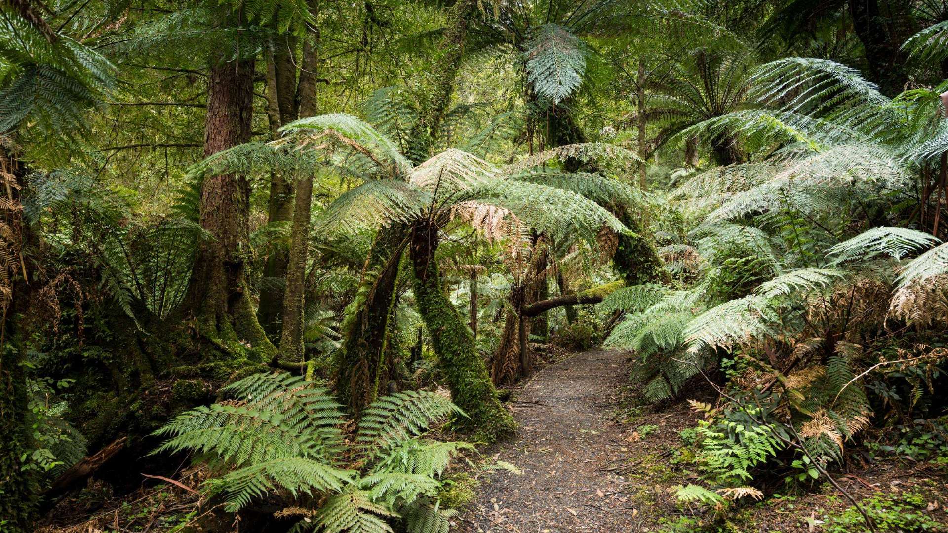 Gippsland
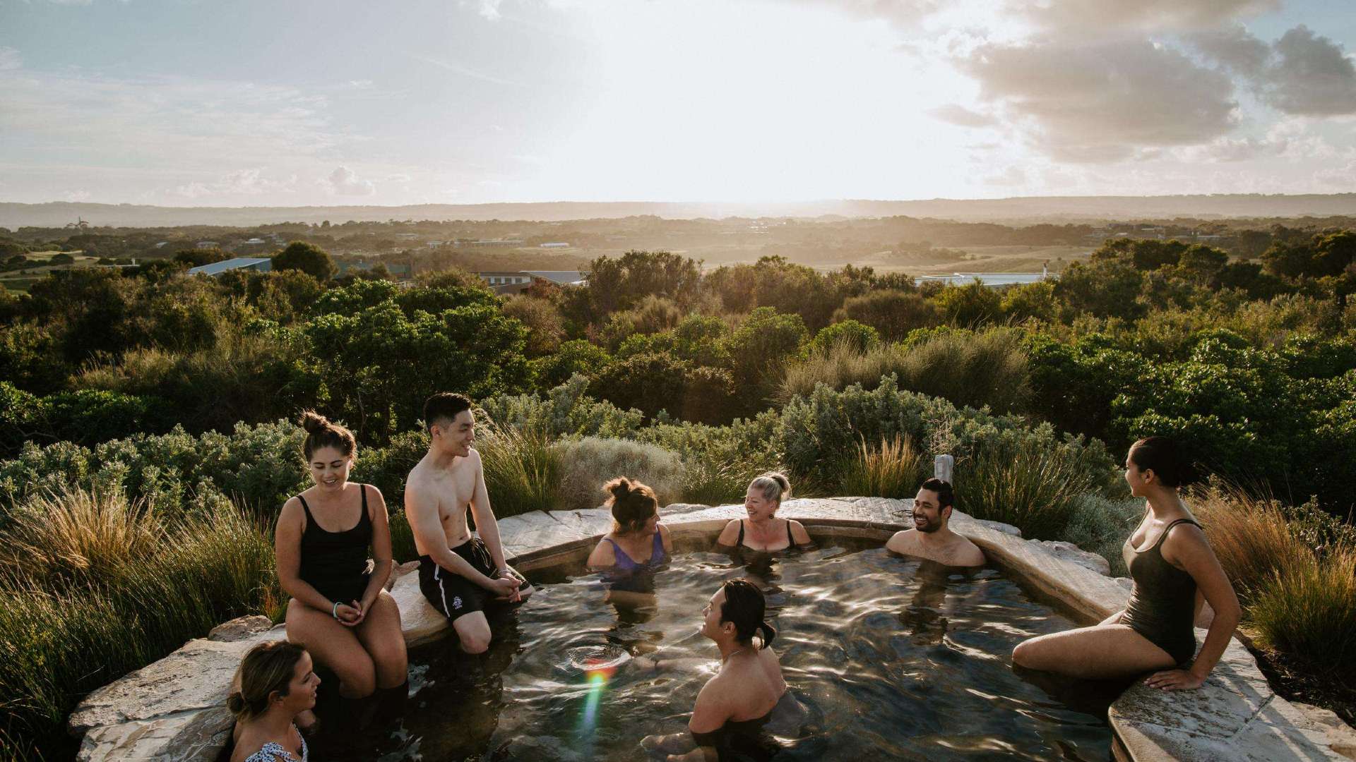 Mornington Peninsula
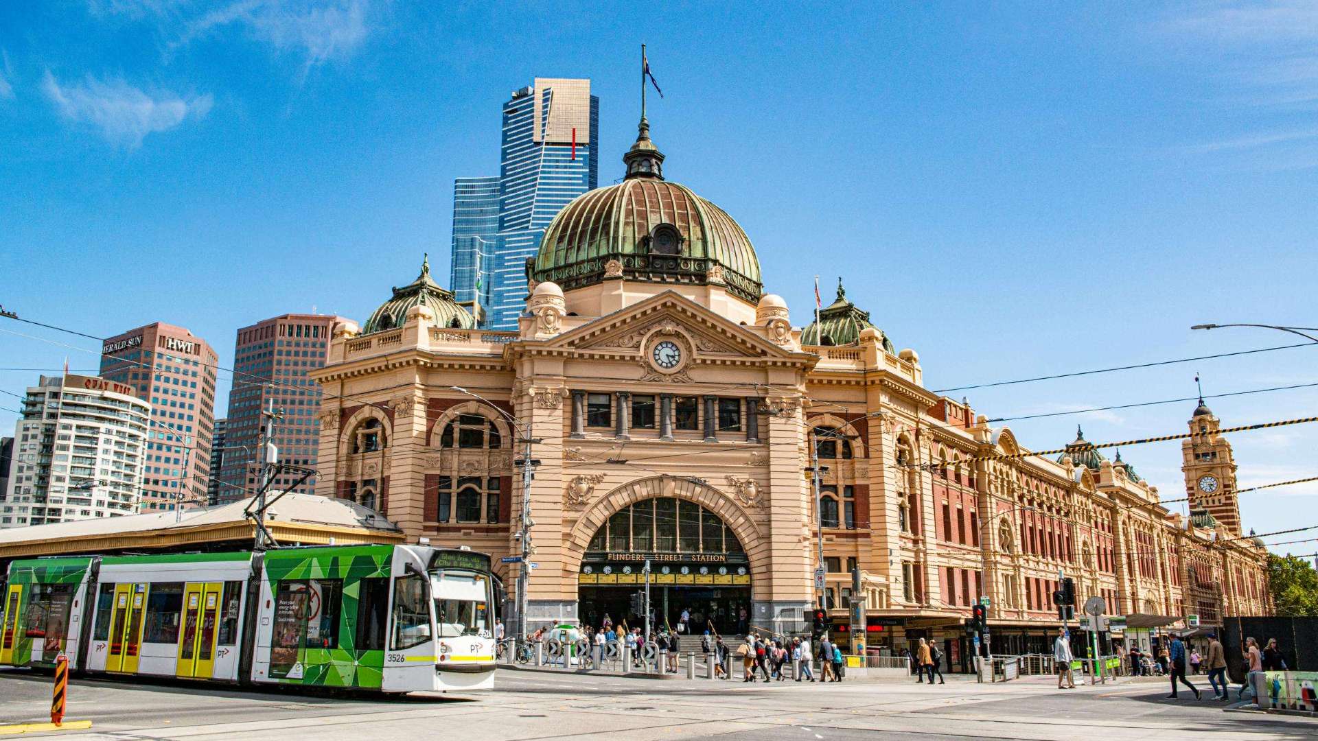 Melbourne
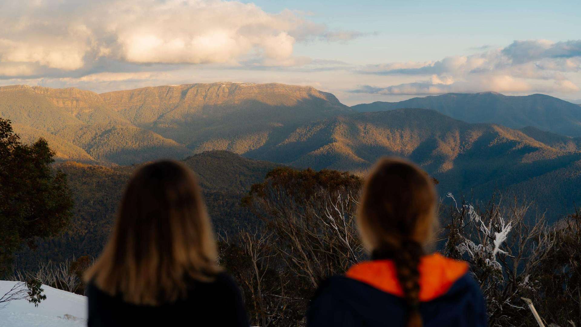 High Country
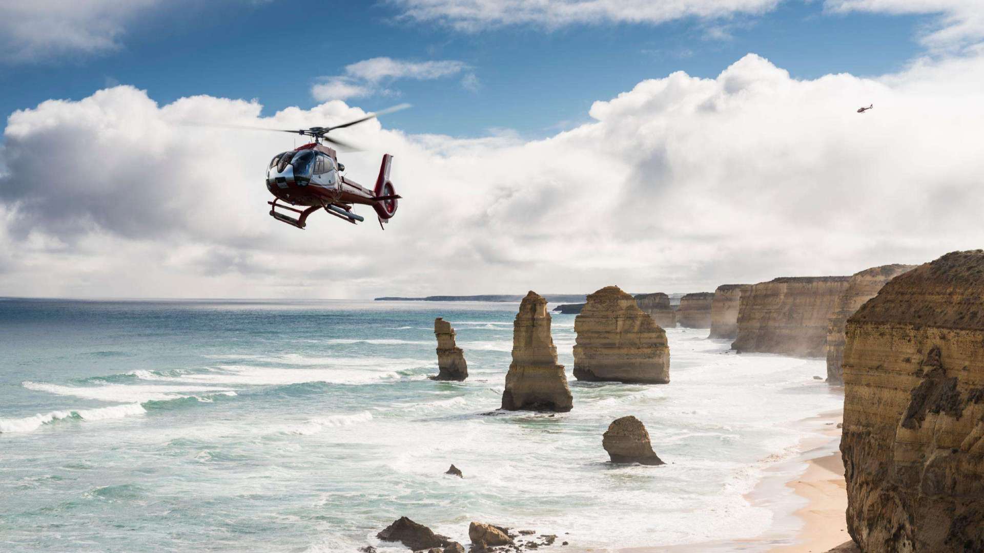 Great Ocean Road

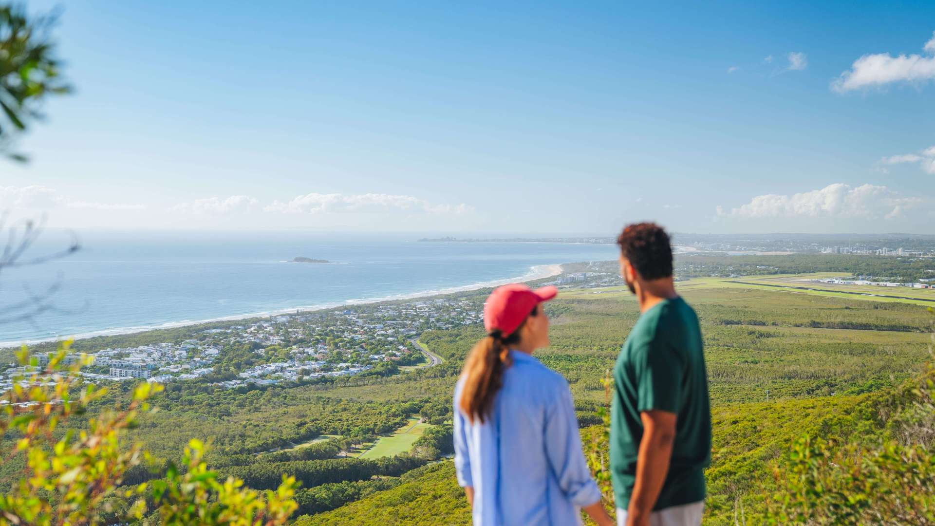 Sunshine Coast Region
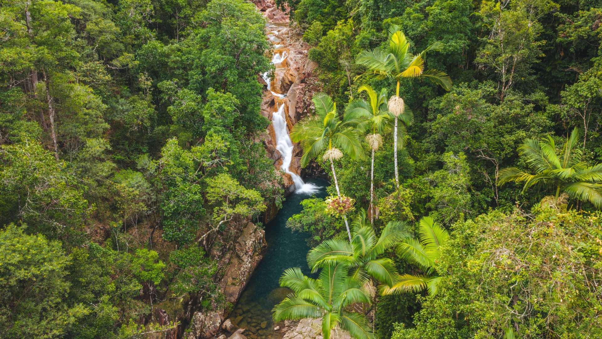 Mackay Region
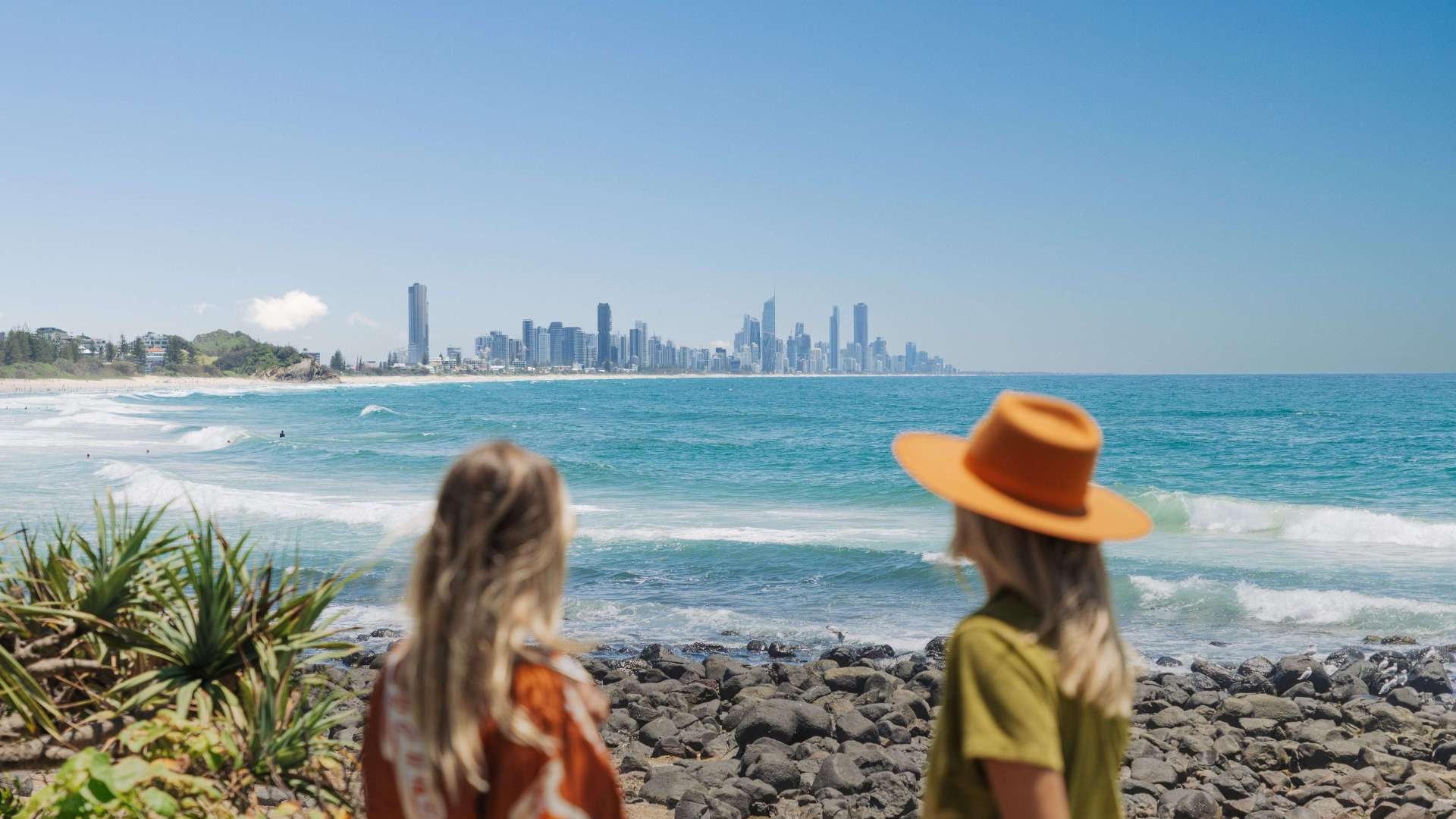 Gold Coast Region
 Far West
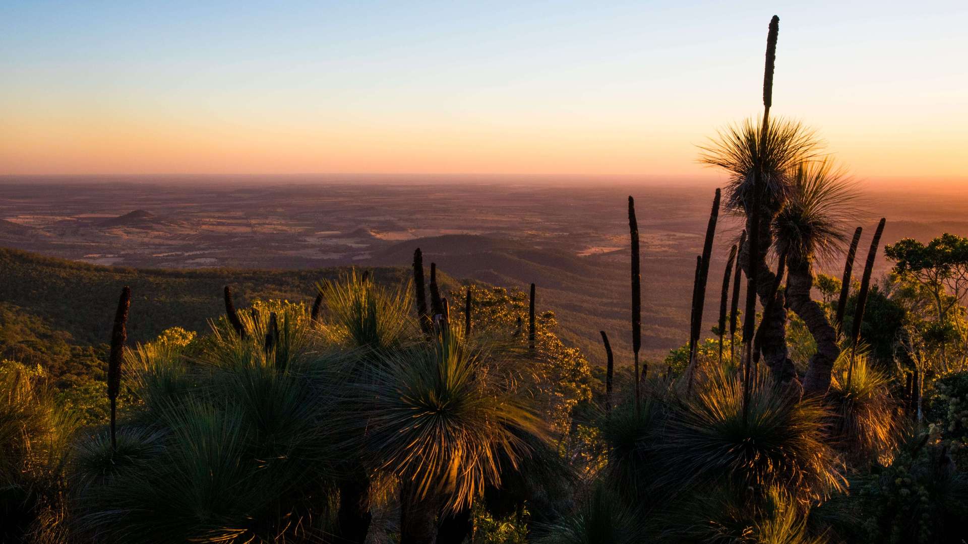 Western Downs Region
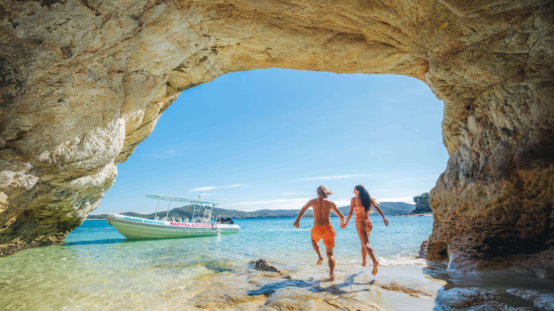 Capricorn Region
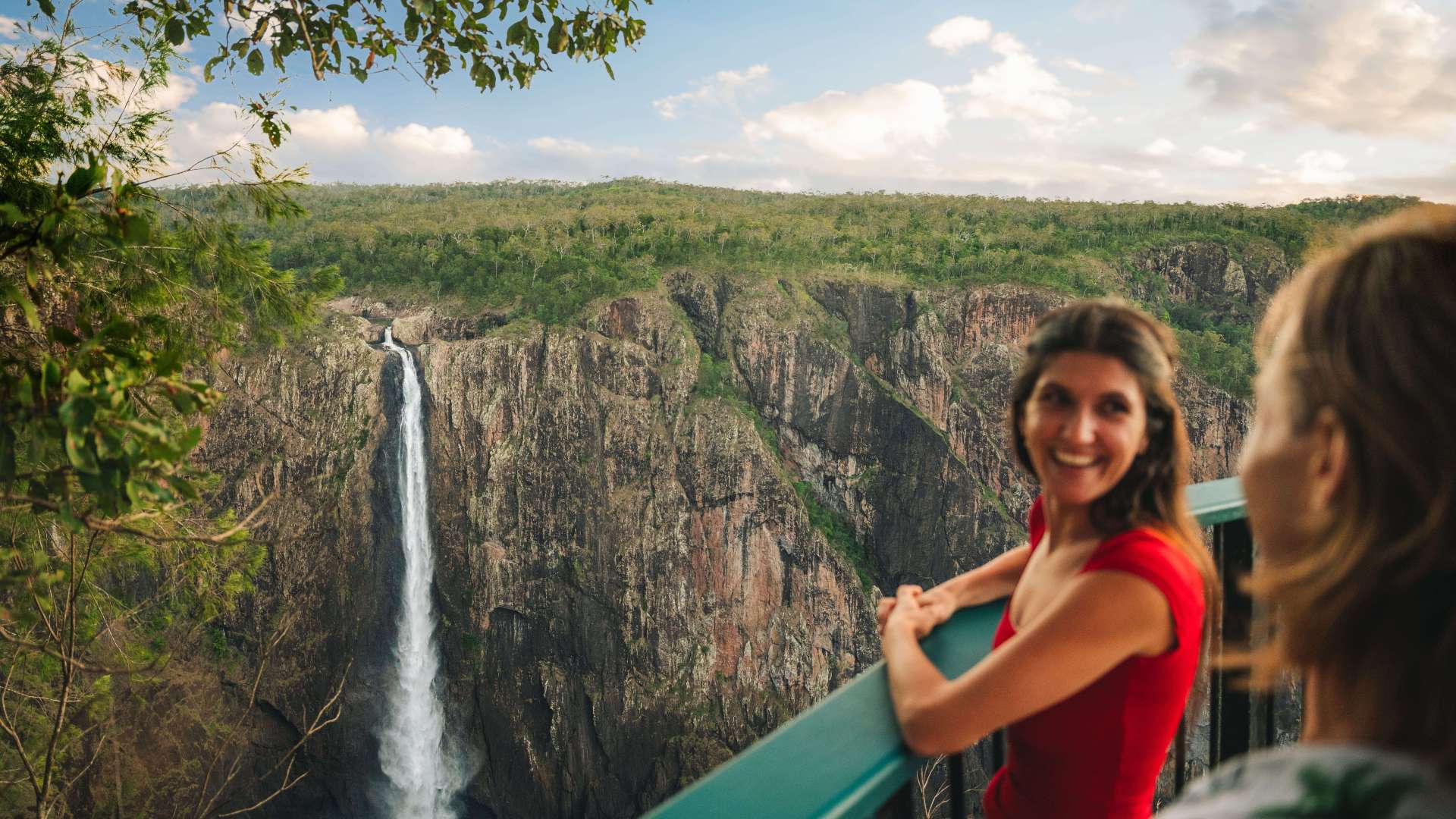 Townsville Region
 Fraser Coast Region
 Gulf Savannah
 Gladstone Region
 Cocos (Keeling) Islands
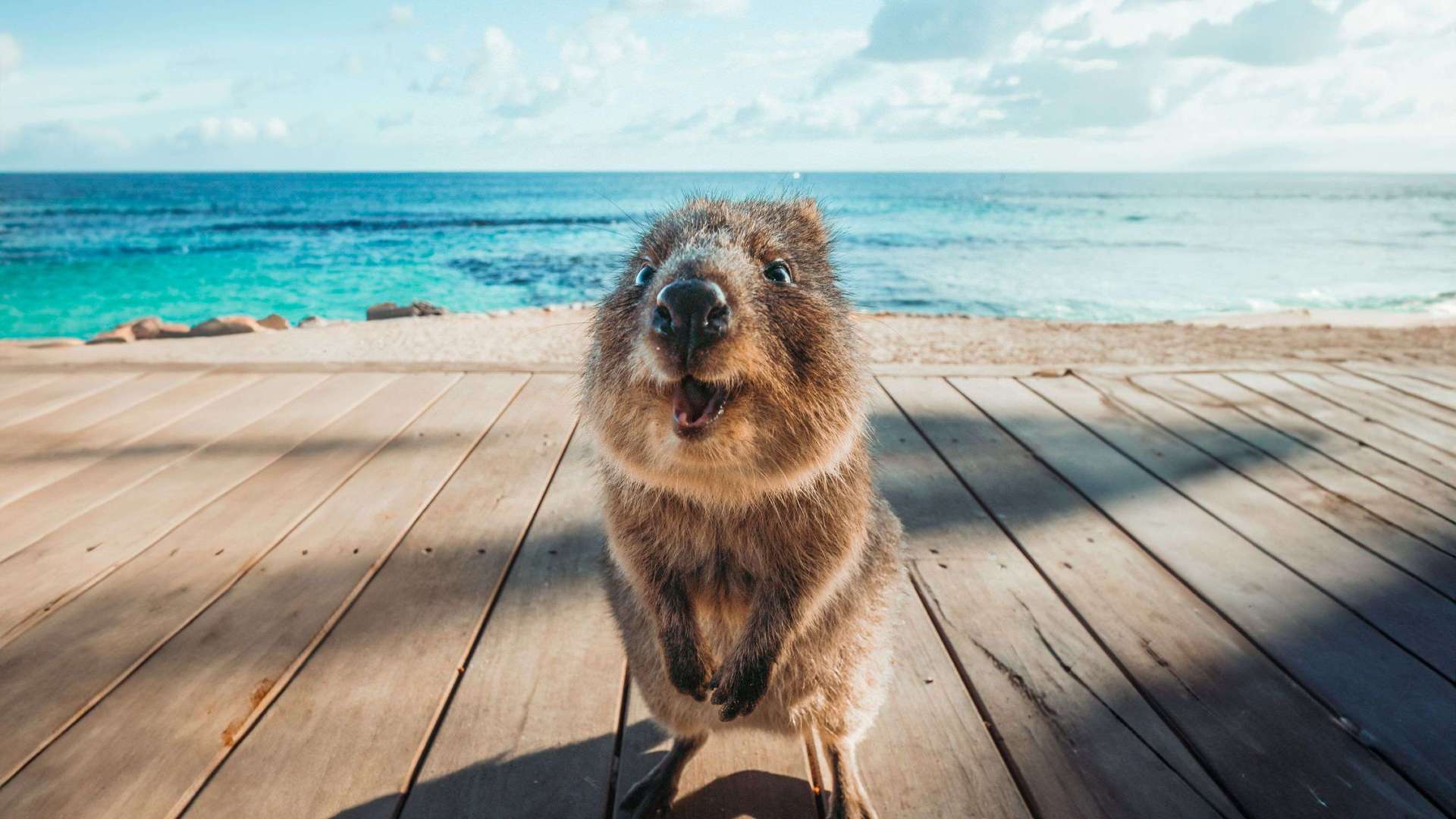
 Australia's South West
 Destination Perth
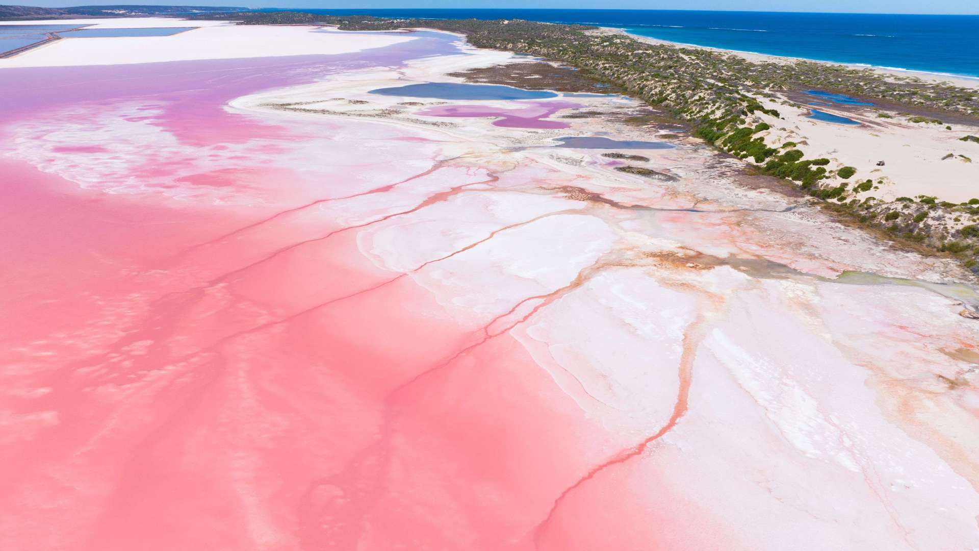 Australia's Coral Coast
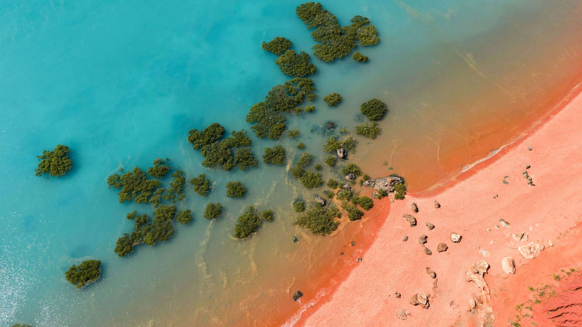 Australia's North West
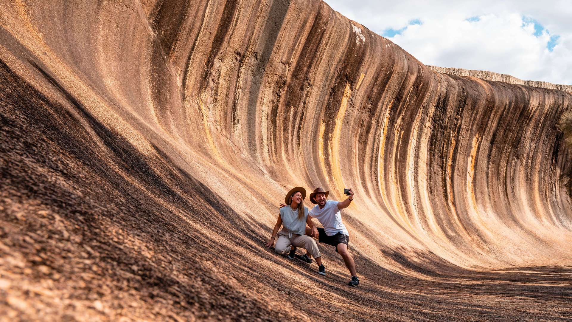 Australia's Golden Outback
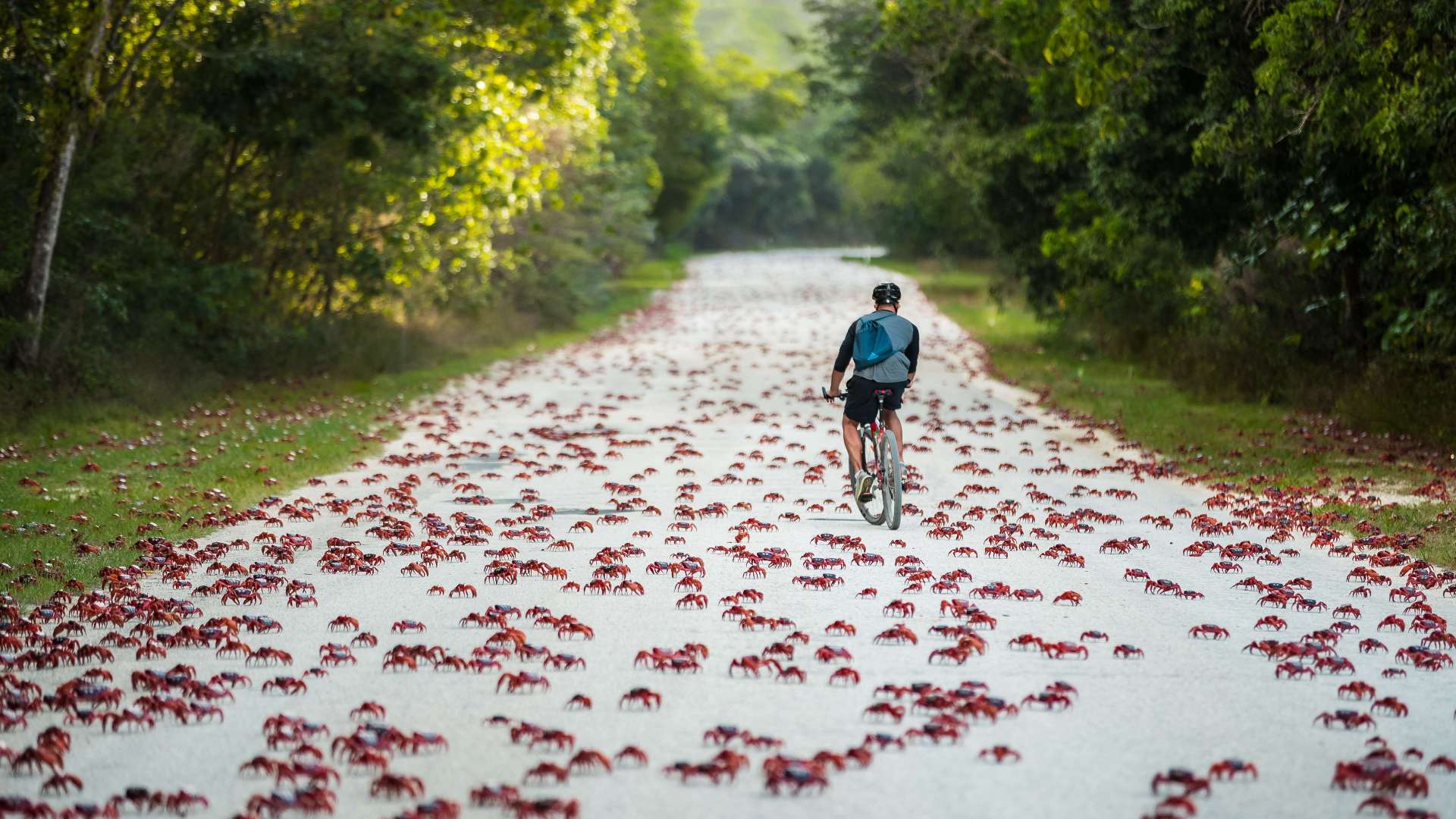 Christmas Island
 Limestone Coast
 Uluru/Kata Tjuta Region
 Kakadu
 Alice Springs & Surrounds
 Darwin & Surrounds
 Tennant Creek & Barkly Region
 Arnhem Land
 Katherine & Surrounds
 Canberra Region
Maribyrnong River
 Make a Booking


Maribyrnong River
Van Ness Avenue, Maribyrnong, Victoria, Australia, 3032
The Maribyrnong River, which begins on the slopes of Mount Macedon and flows to Port Phillip, has played a major role in the occupation and development of western Victoria. Aboriginal tribes have frequented its banks for at least 40,000 years.
These waters provide good canoeing and three ponding points have been designed to enable children and adults to discover the delights of catching fish with a hand net.
The park has barbecues, picnic tables and shelters, and a shared cycle/walking path starts in the park and continues on to Footscray. Parklands on either side of the river include Maribyrnong Park and Fairbairn Park where there are boat landings and picnic facilities.
Bicycle tracks follow its banks, crossing the river via pedestrian bridges at several points. Many people use these trails to get to Brimbank Park or Pipemakers Park.
Before you go
Conditions can change in parks for many reasons. For the latest information on changes to local conditions, please visit the relevant park page on the Parks Victoria website.
Be bushfire ready in the great outdoors. Refer to the Bushfire Safety section on the Parks Victoria website for tips on how to stay safe.
Address
Van Ness Avenue, Maribyrnong, Victoria, Australia, 3032
Phone
131963
Make a Booking
You might also like...
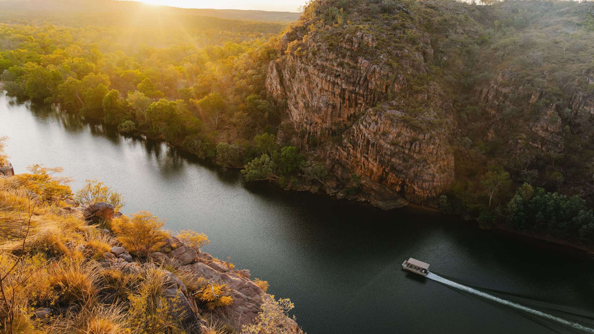
 Hunter Valley, New South Wales
1 / 2
Starting Planning your next thing With Us
Your next big adventure awaits, and Things to Do is here to help make that run smoothly! Join today and take advantage of our easy to use features.
Join Now