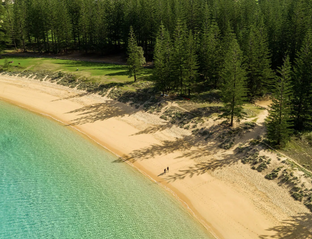
 Norfolk Island
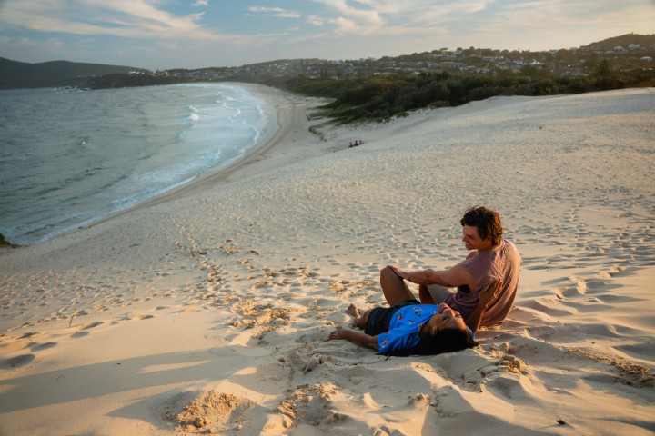
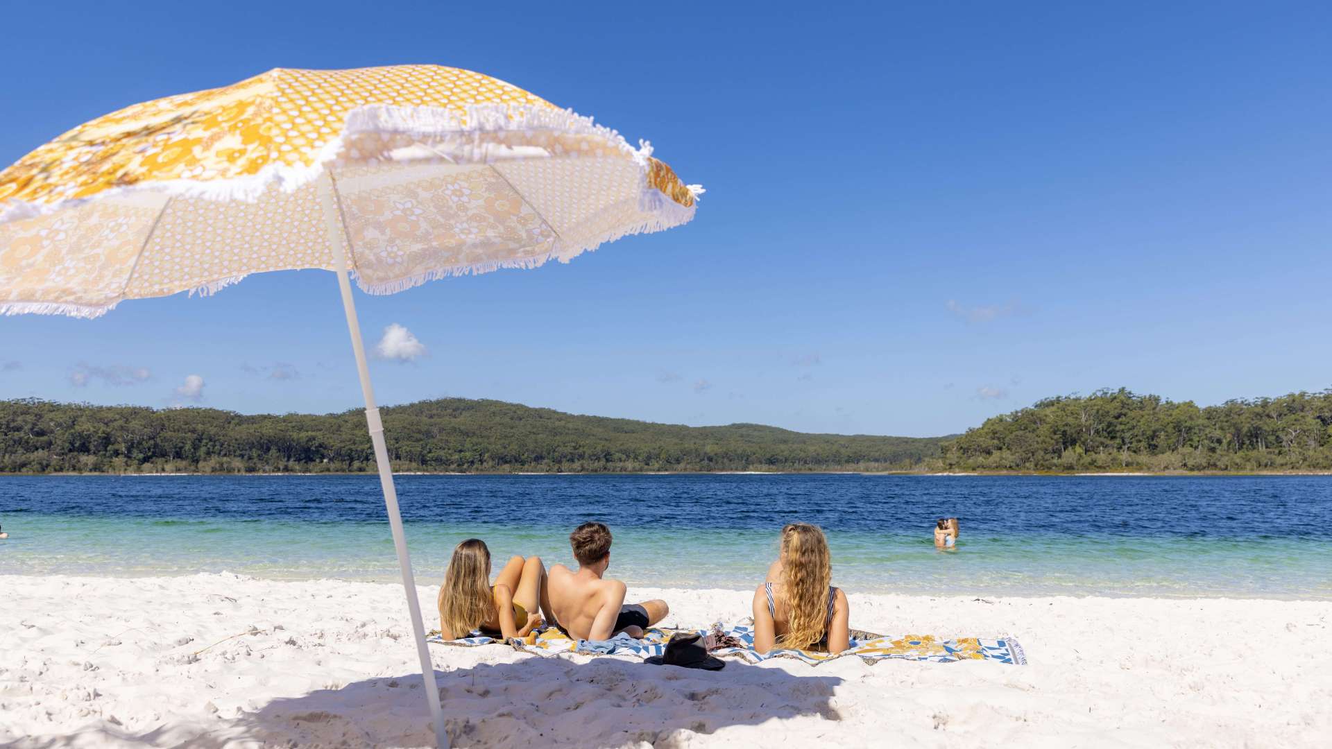
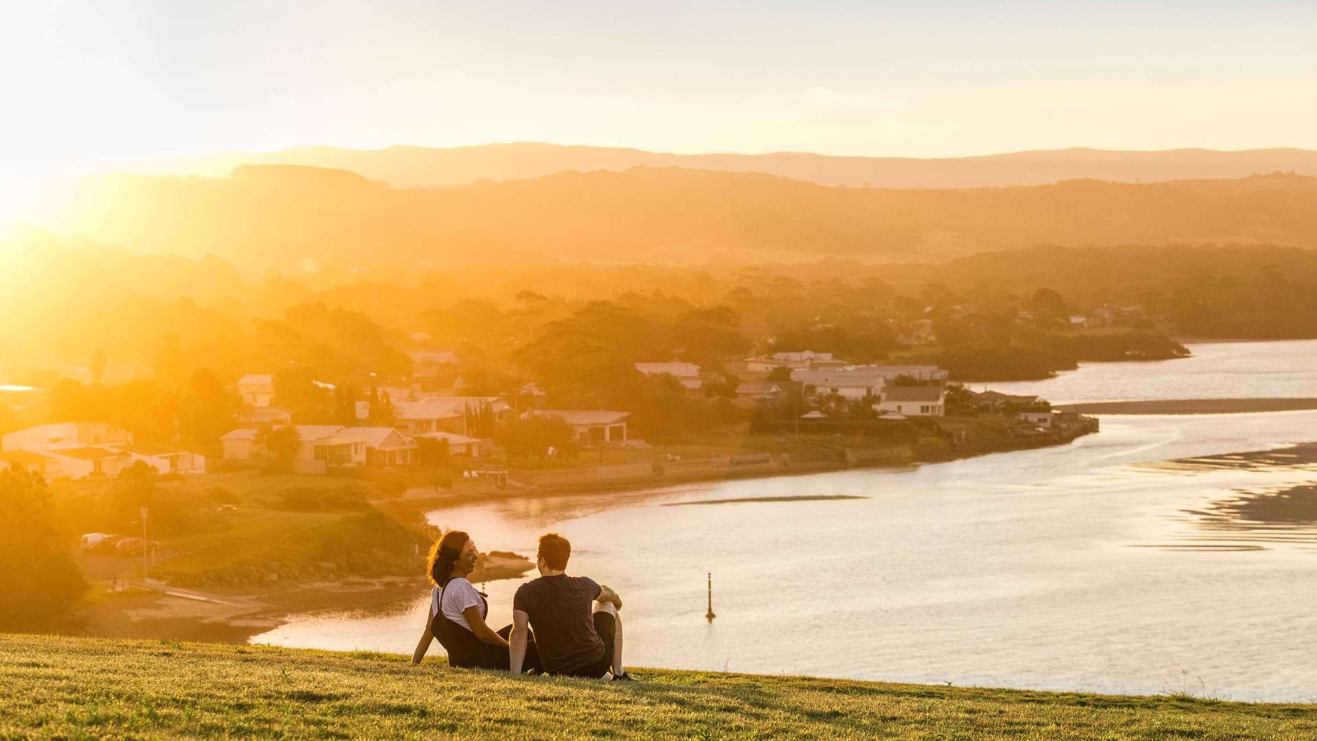 South Coast
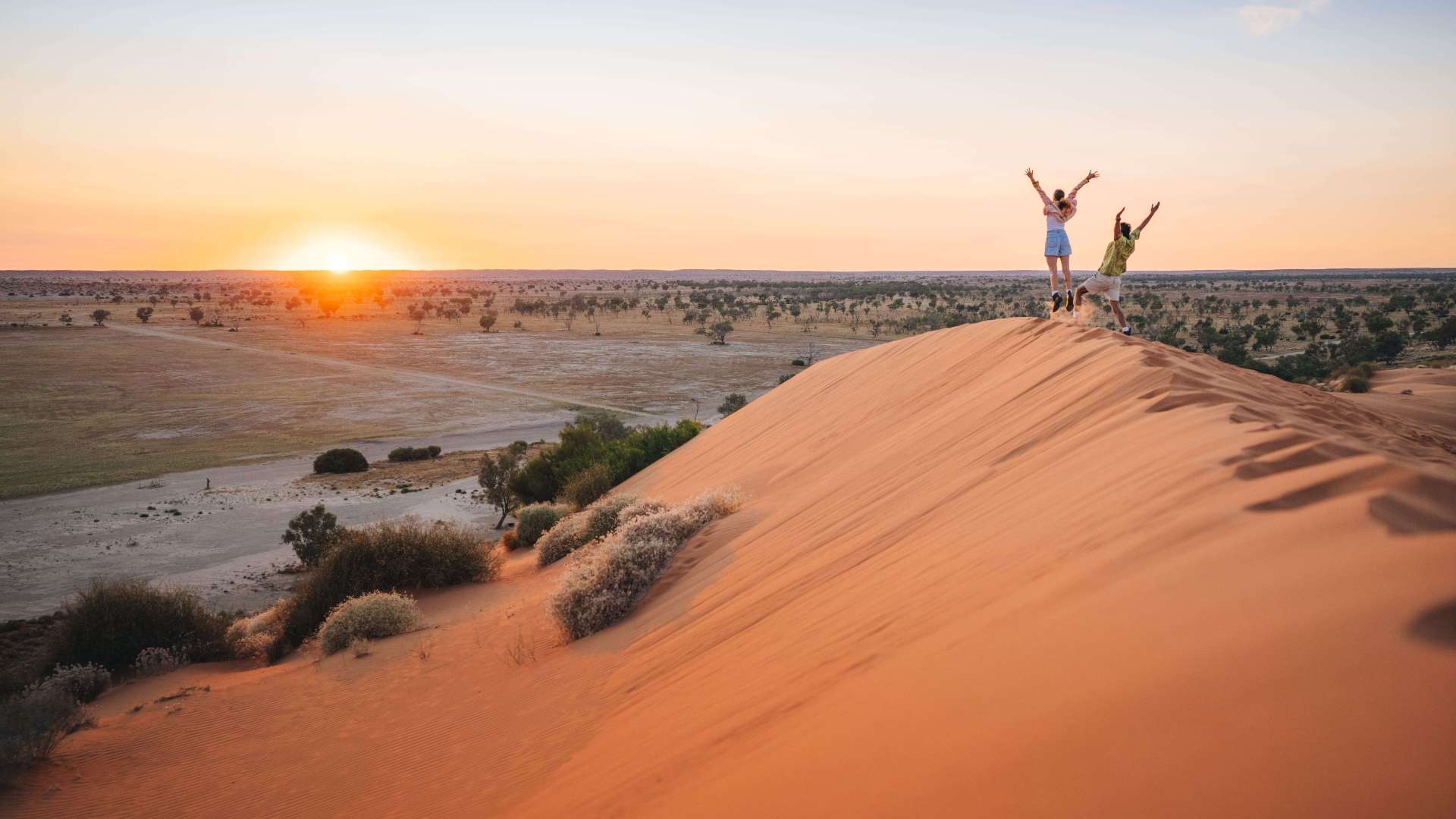
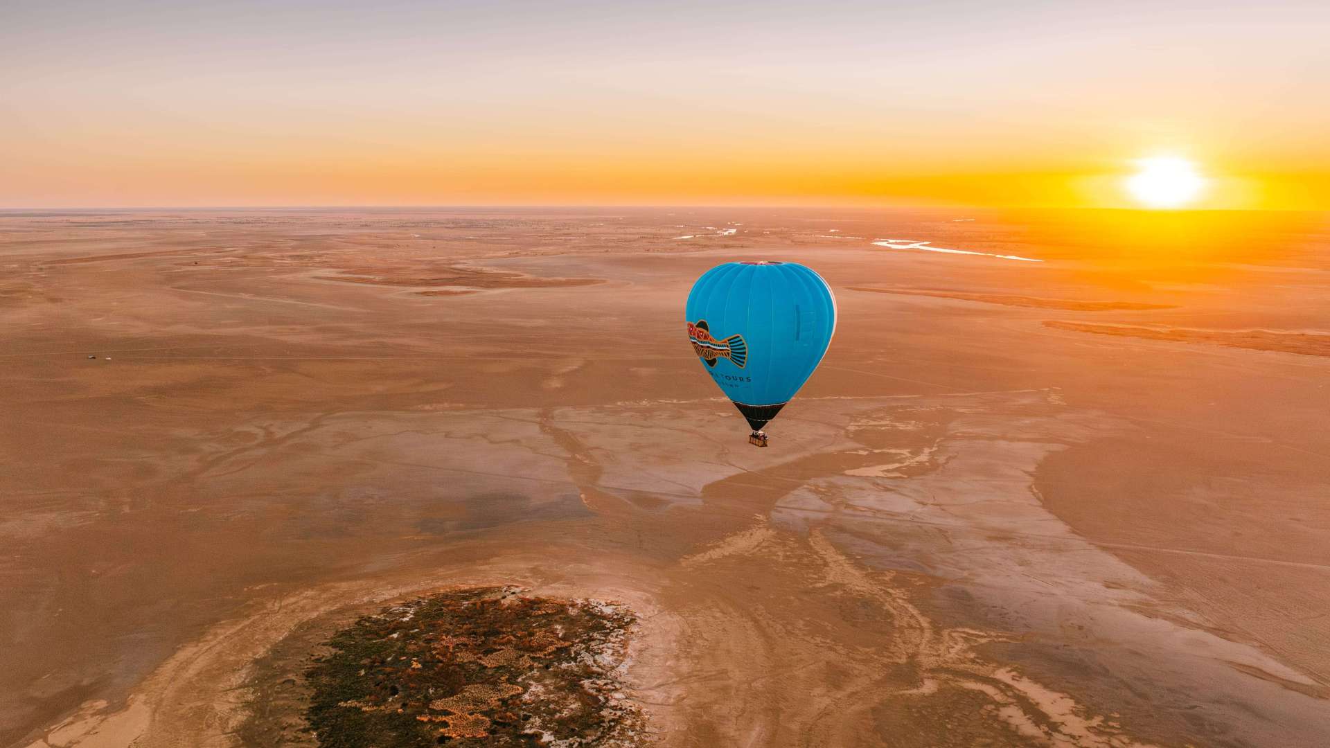
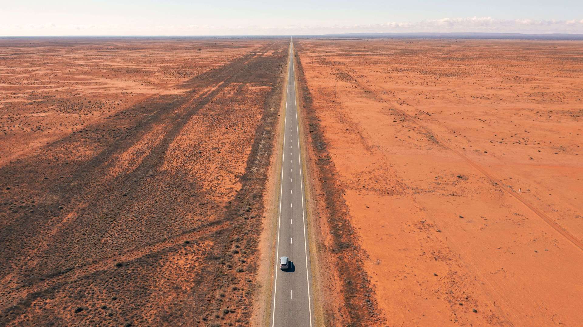 Outback NSW
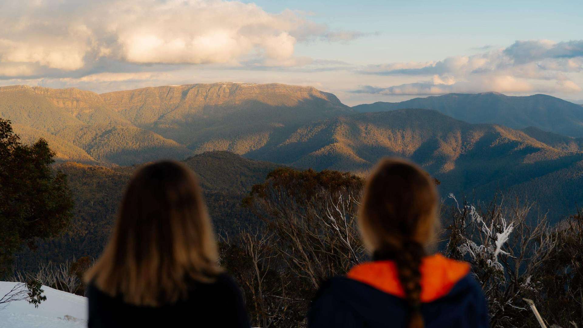
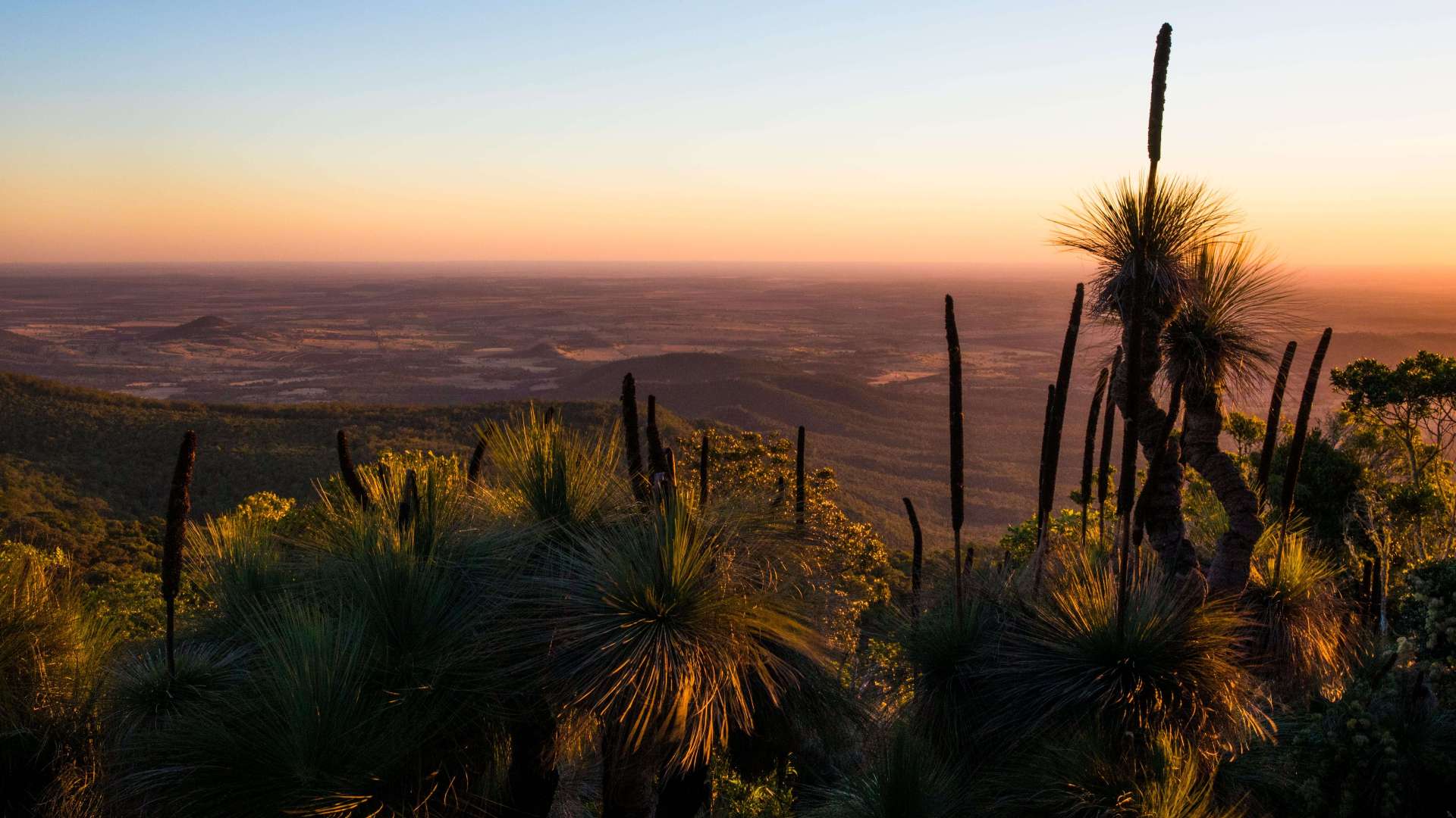
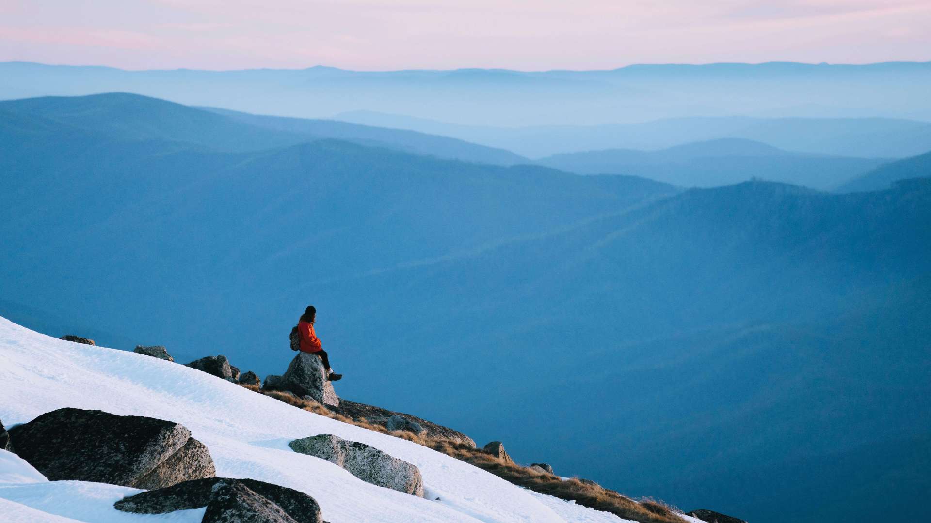 Snowy Mountains
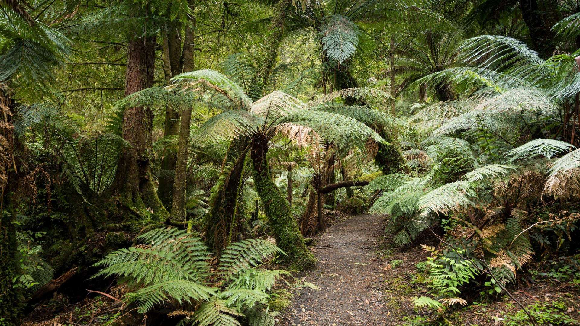
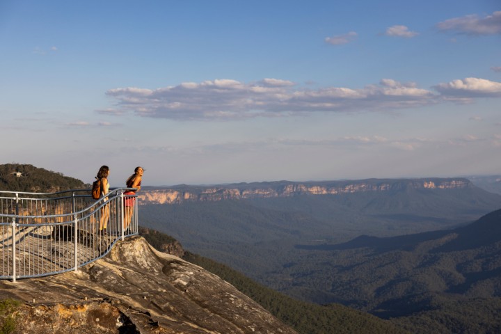 Blue Mountains
 North Coast
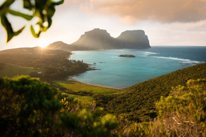 Lord Howe Island
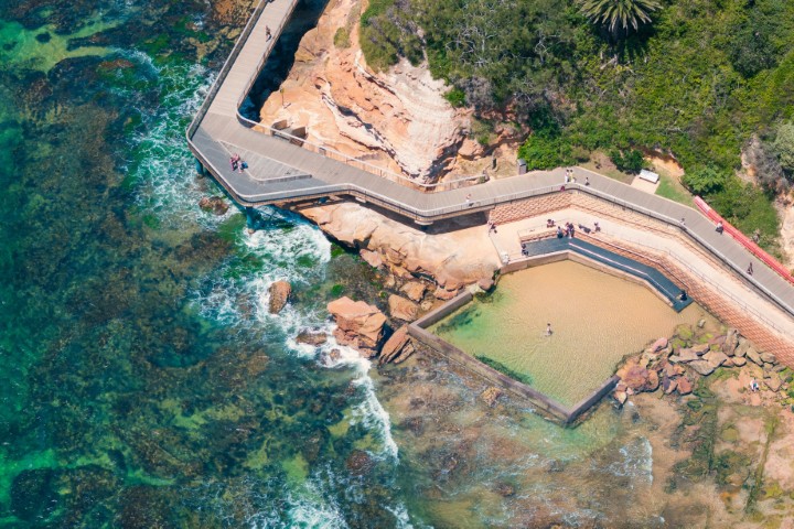 Central Coast
 Greater Sydney
 Country NSW
 Geelong & the Bellarine
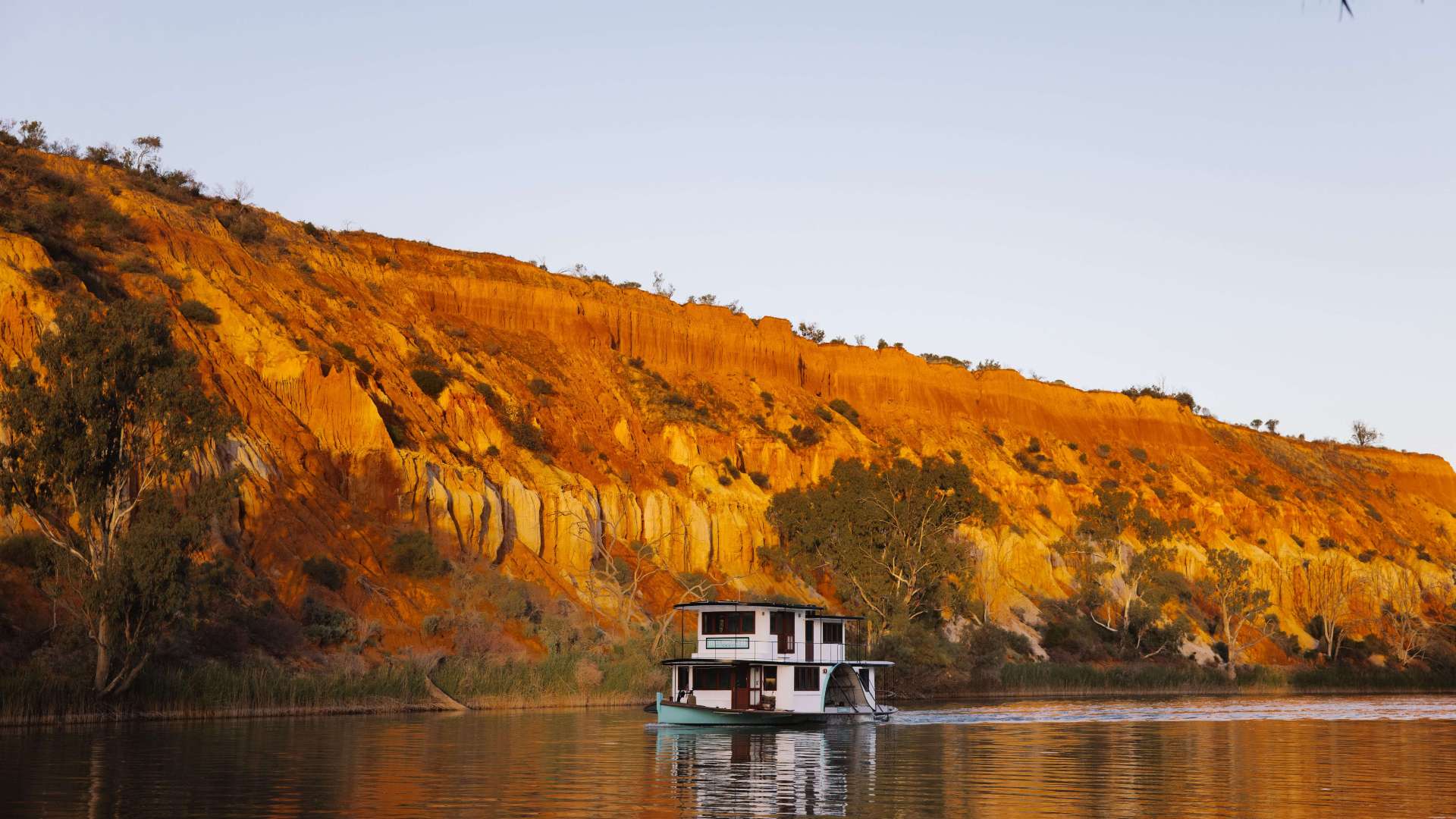
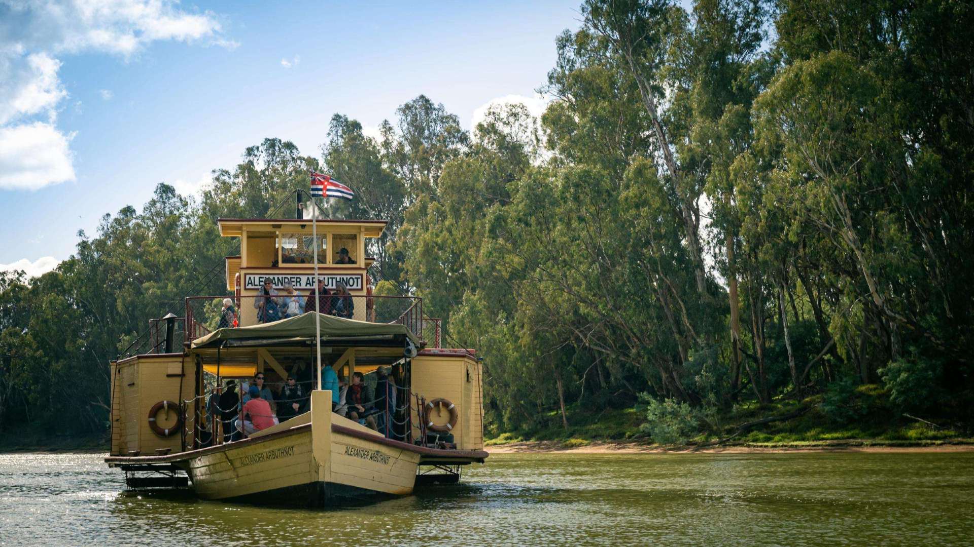 The Murray
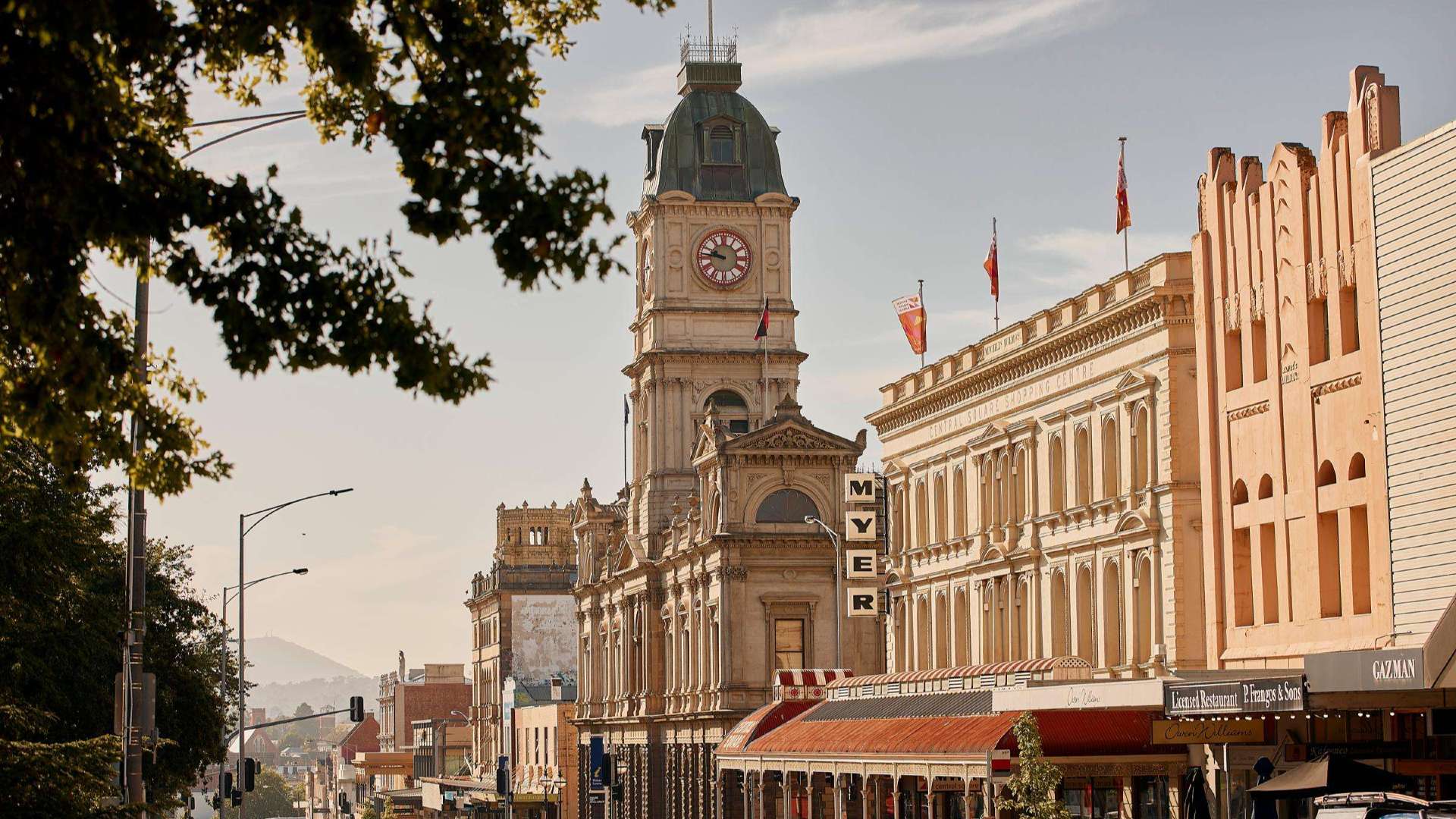 Goldfields
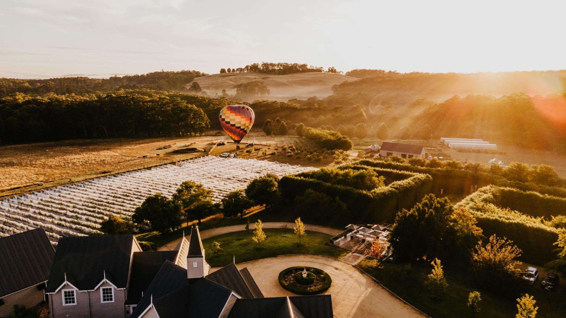 Daylesford & the Macedon Ranges
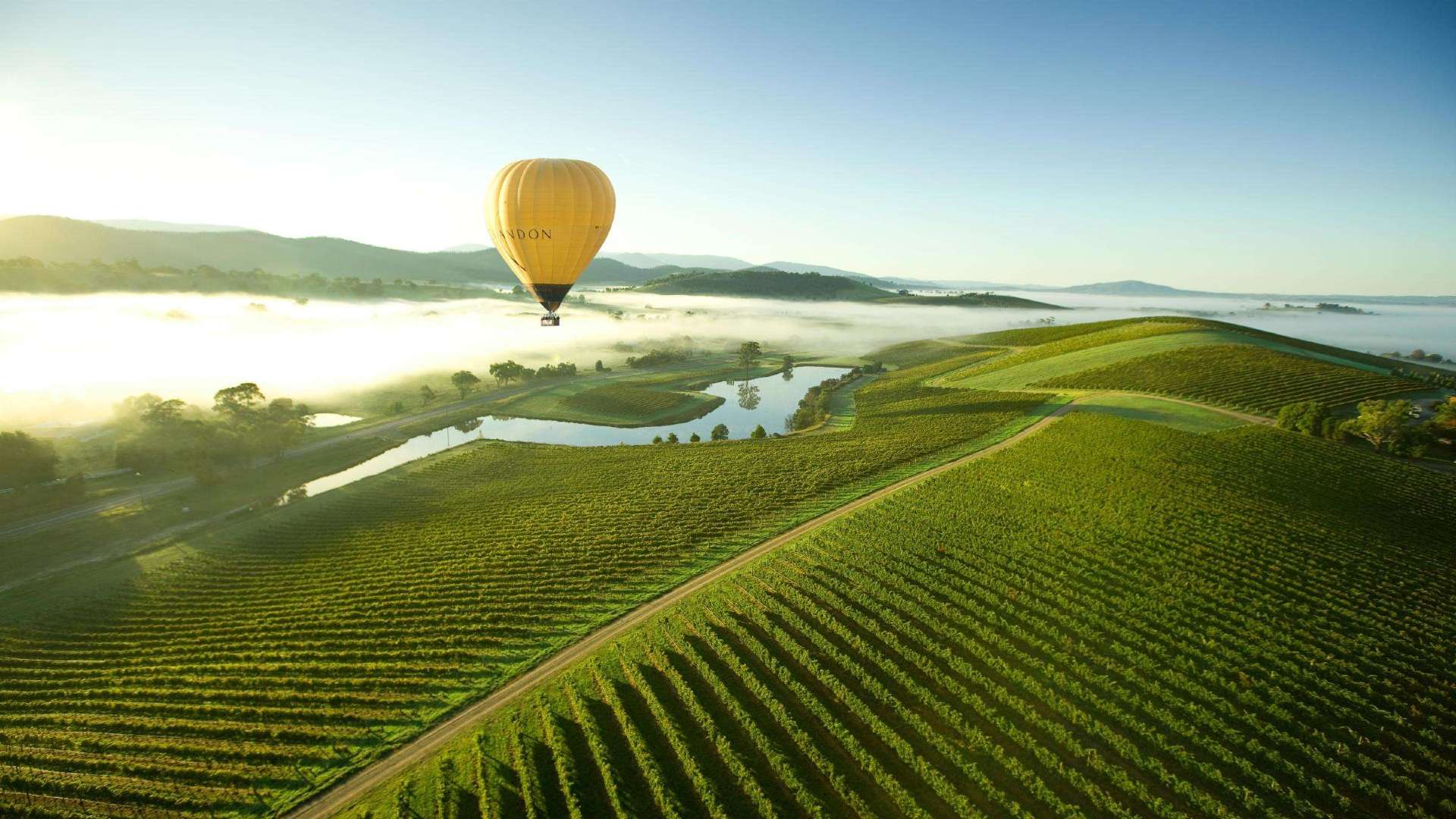 Yarra Valley & Dandenong Ranges
 Gippsland
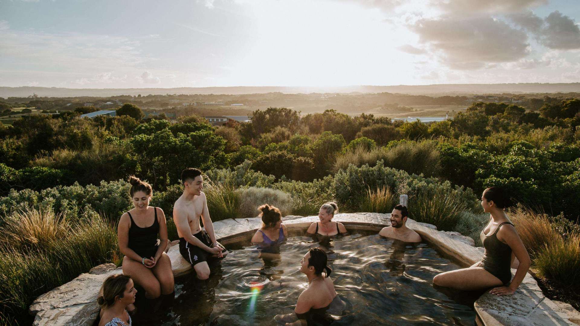 Mornington Peninsula
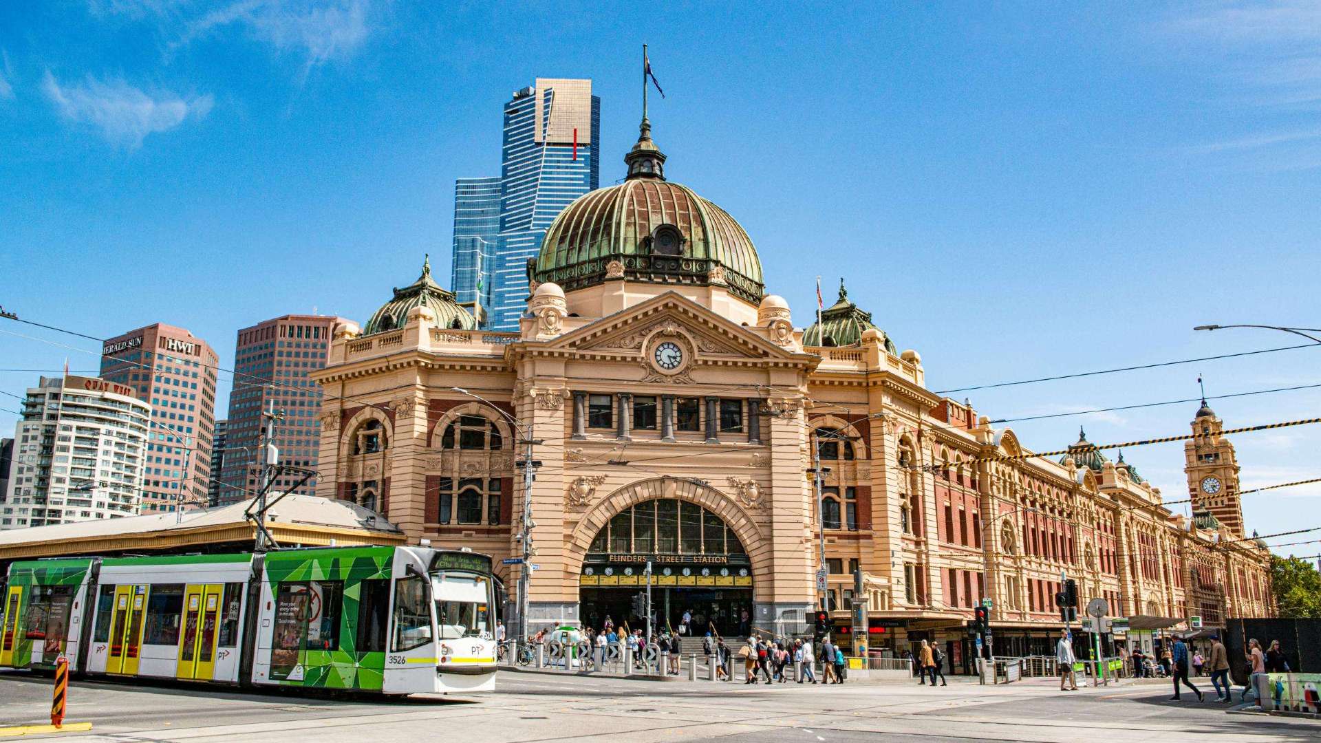 Melbourne
 High Country
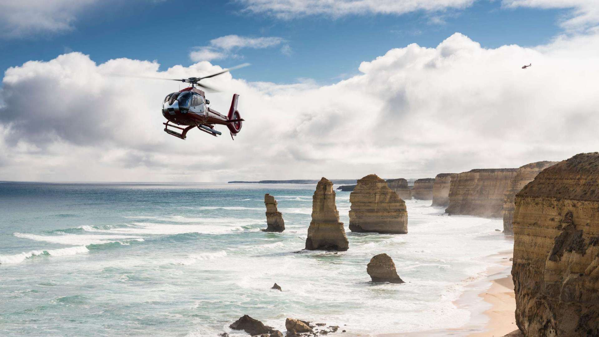 Great Ocean Road

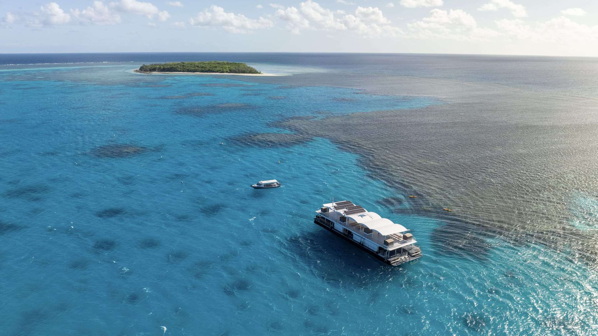
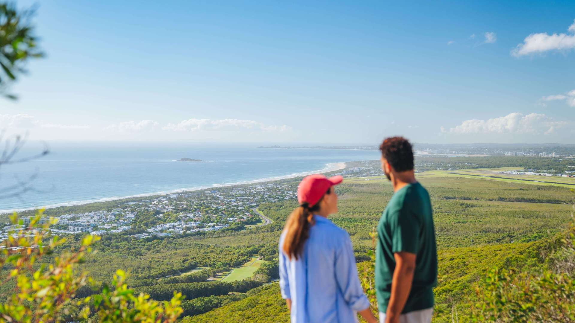 Sunshine Coast Region
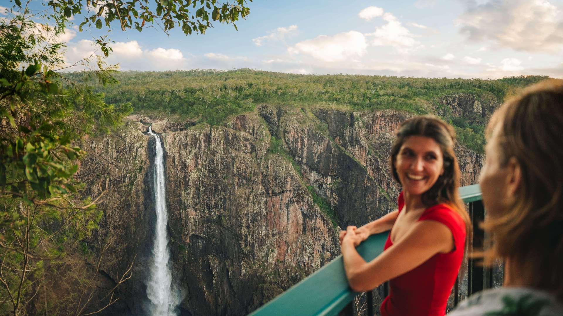
 Mackay Region
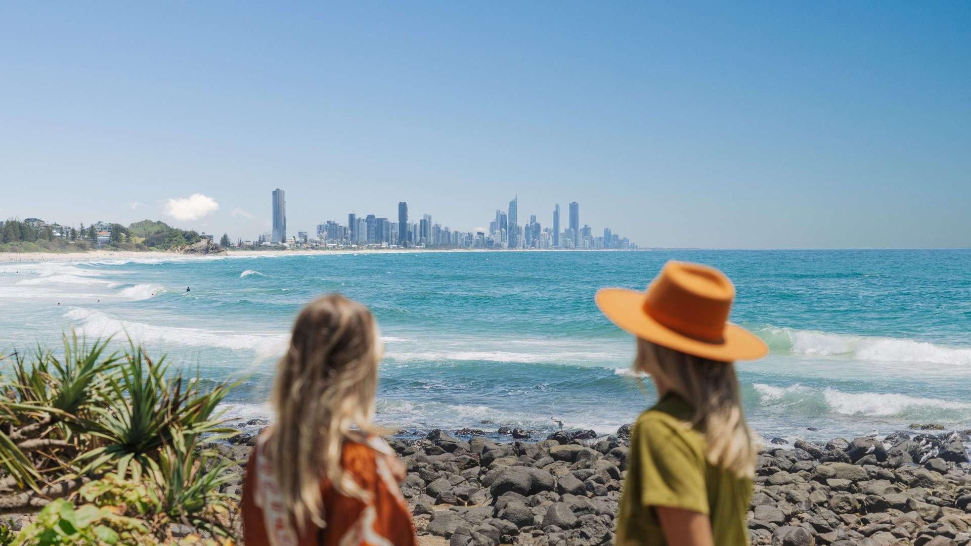 Gold Coast Region
 Far West
 Western Downs Region
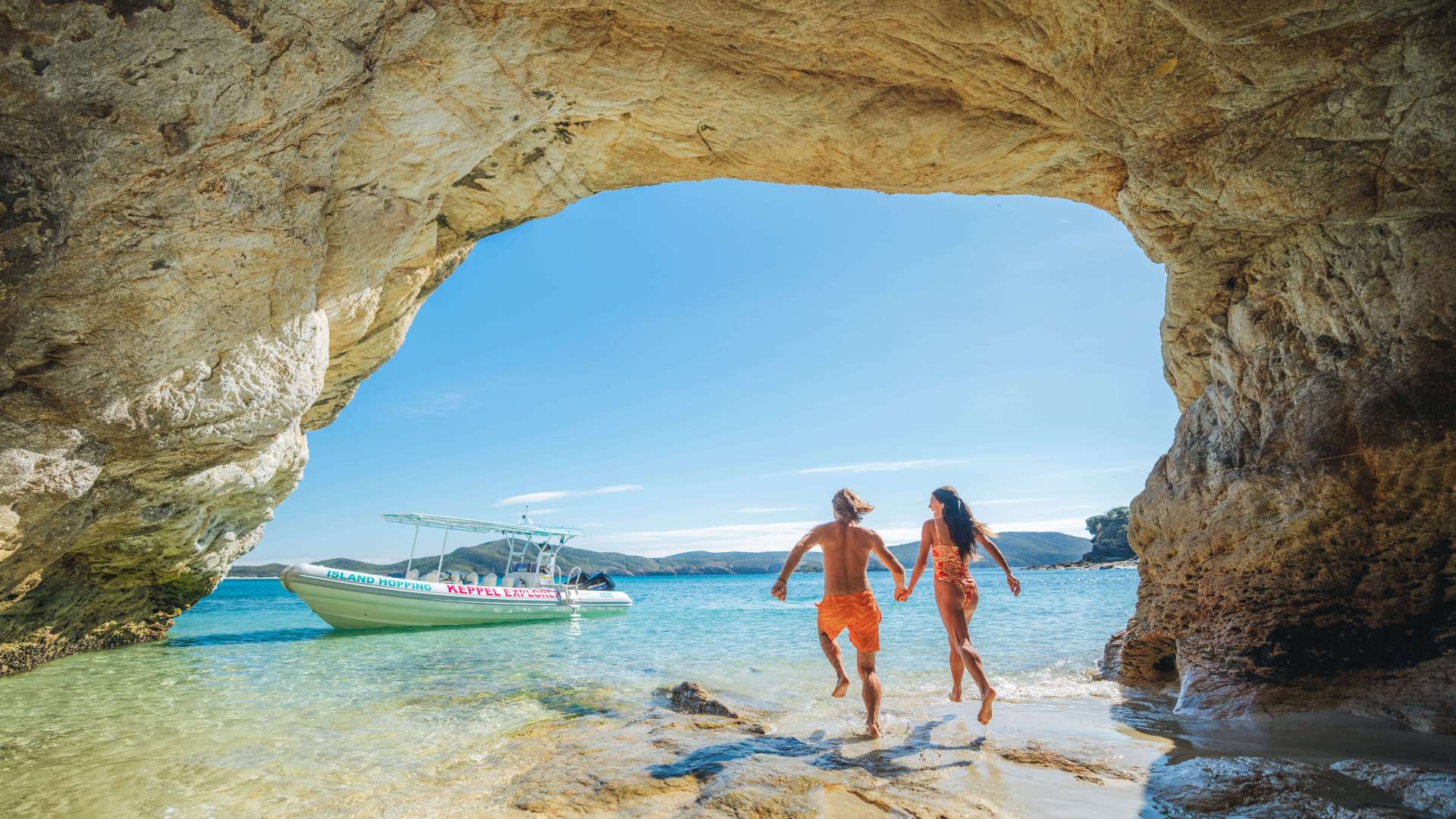 Capricorn Region
 Townsville Region
 Fraser Coast Region
 Gulf Savannah
 Gladstone Region
 Cocos (Keeling) Islands
 Australia's South West
 Destination Perth
 Australia's Coral Coast
 Australia's North West
 Australia's Golden Outback
 Christmas Island
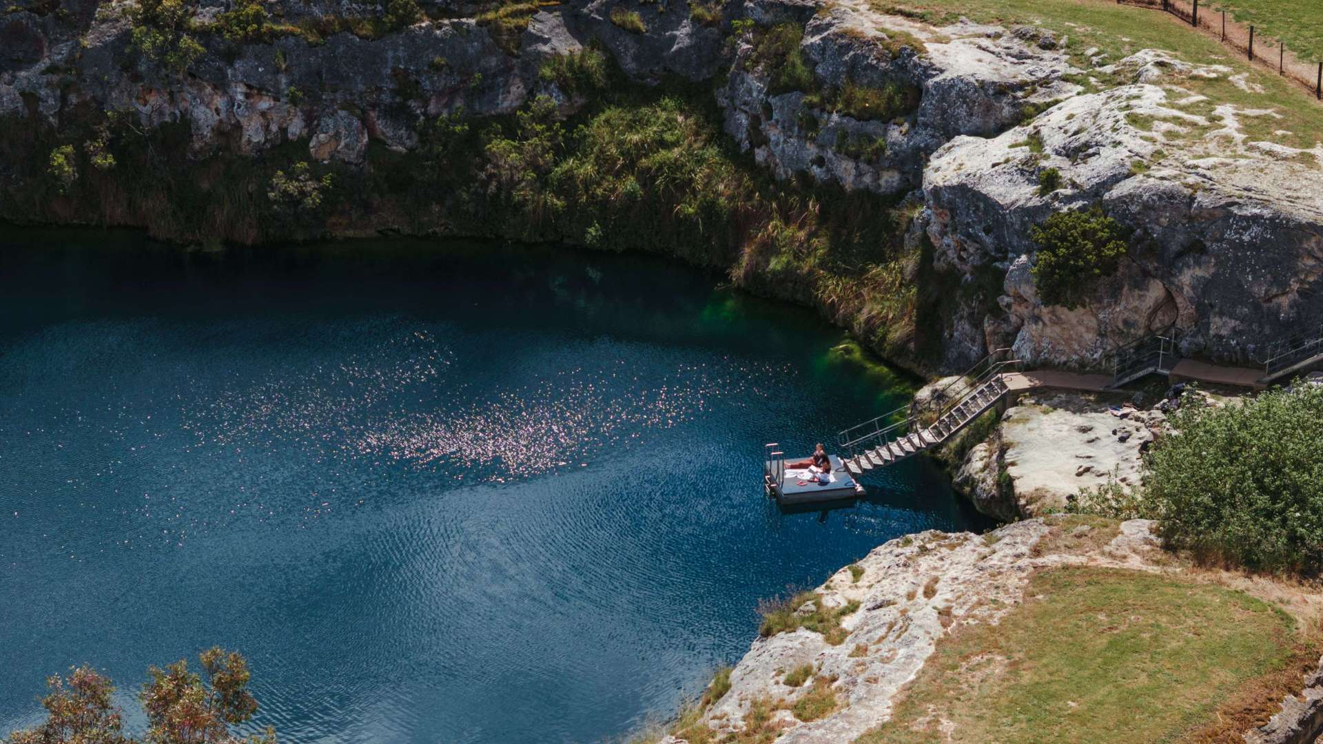 Limestone Coast
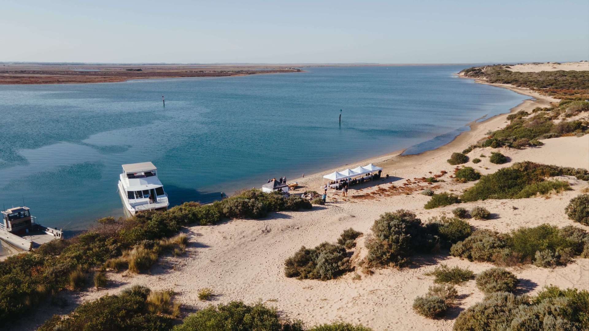 Murray River, Lakes and Coorong
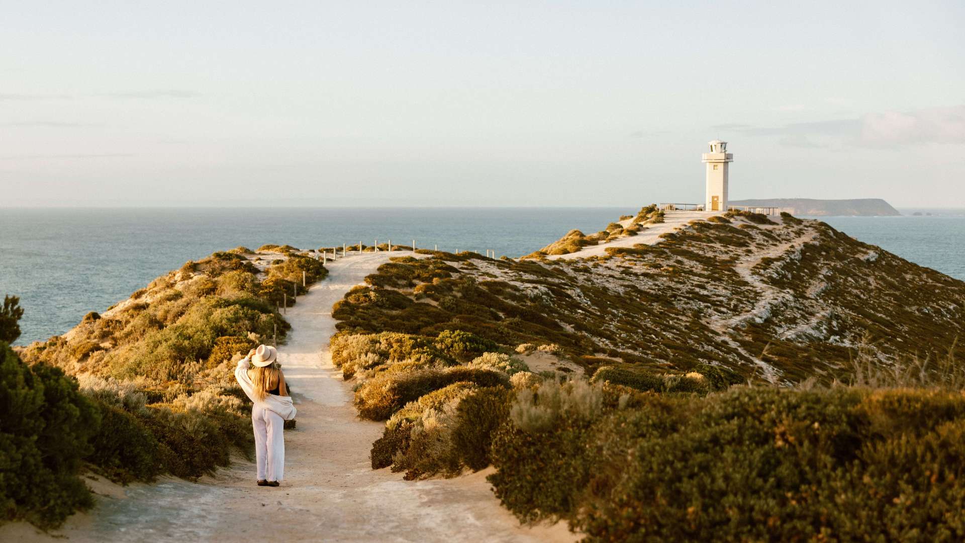 Yorke Peninsula
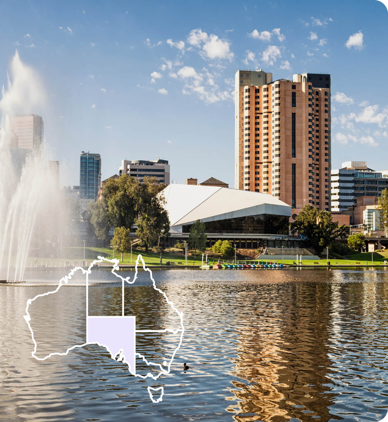
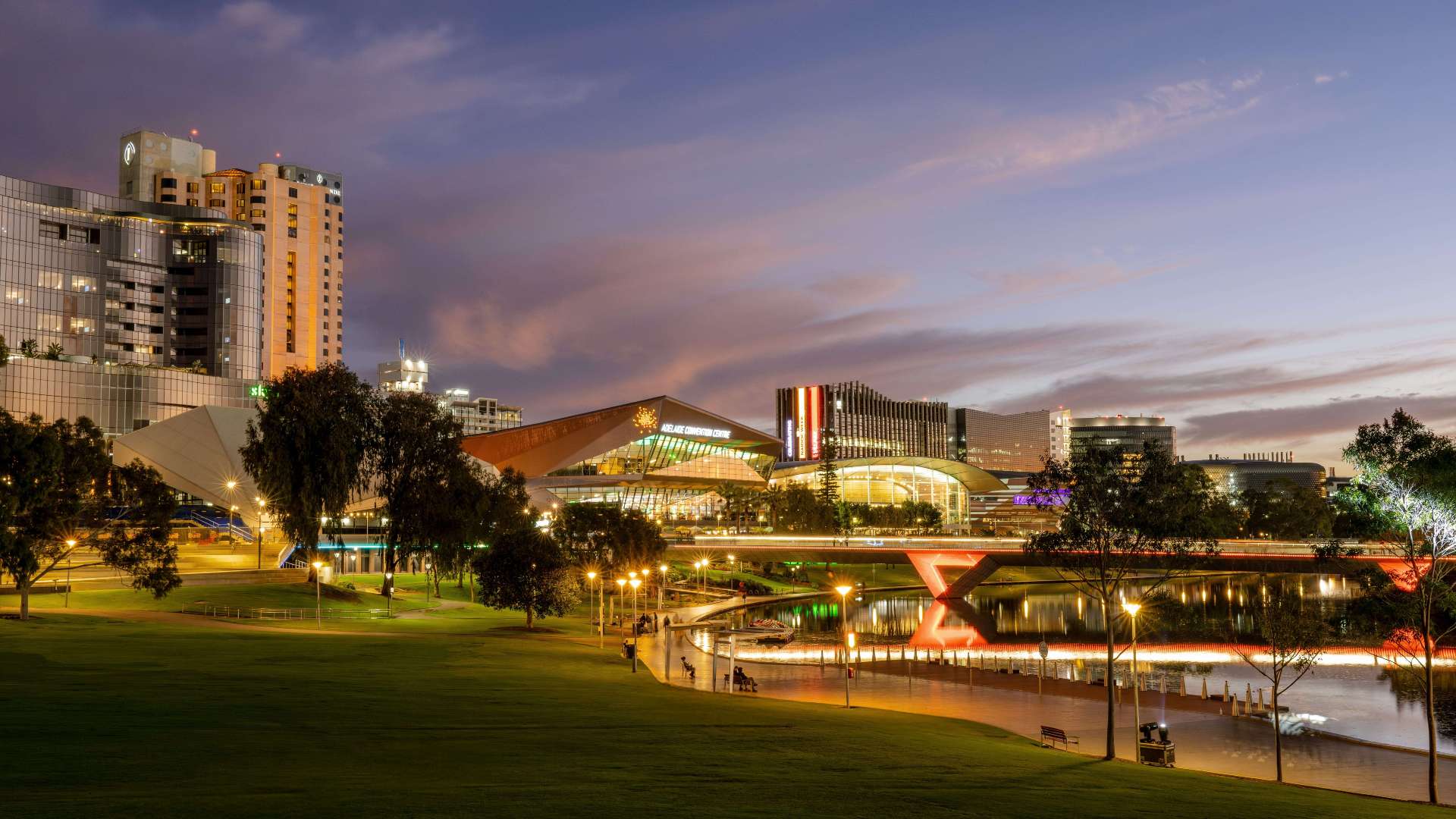 Adelaide
 Riverland
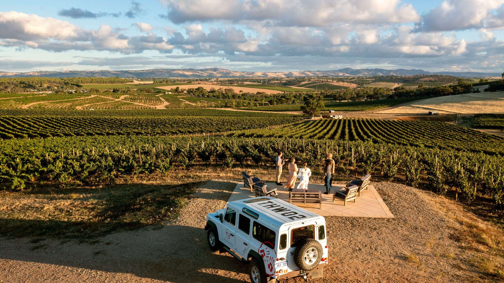 Barossa
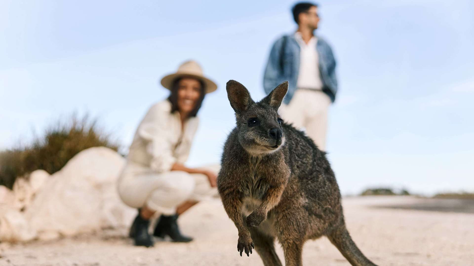 Kangaroo Island
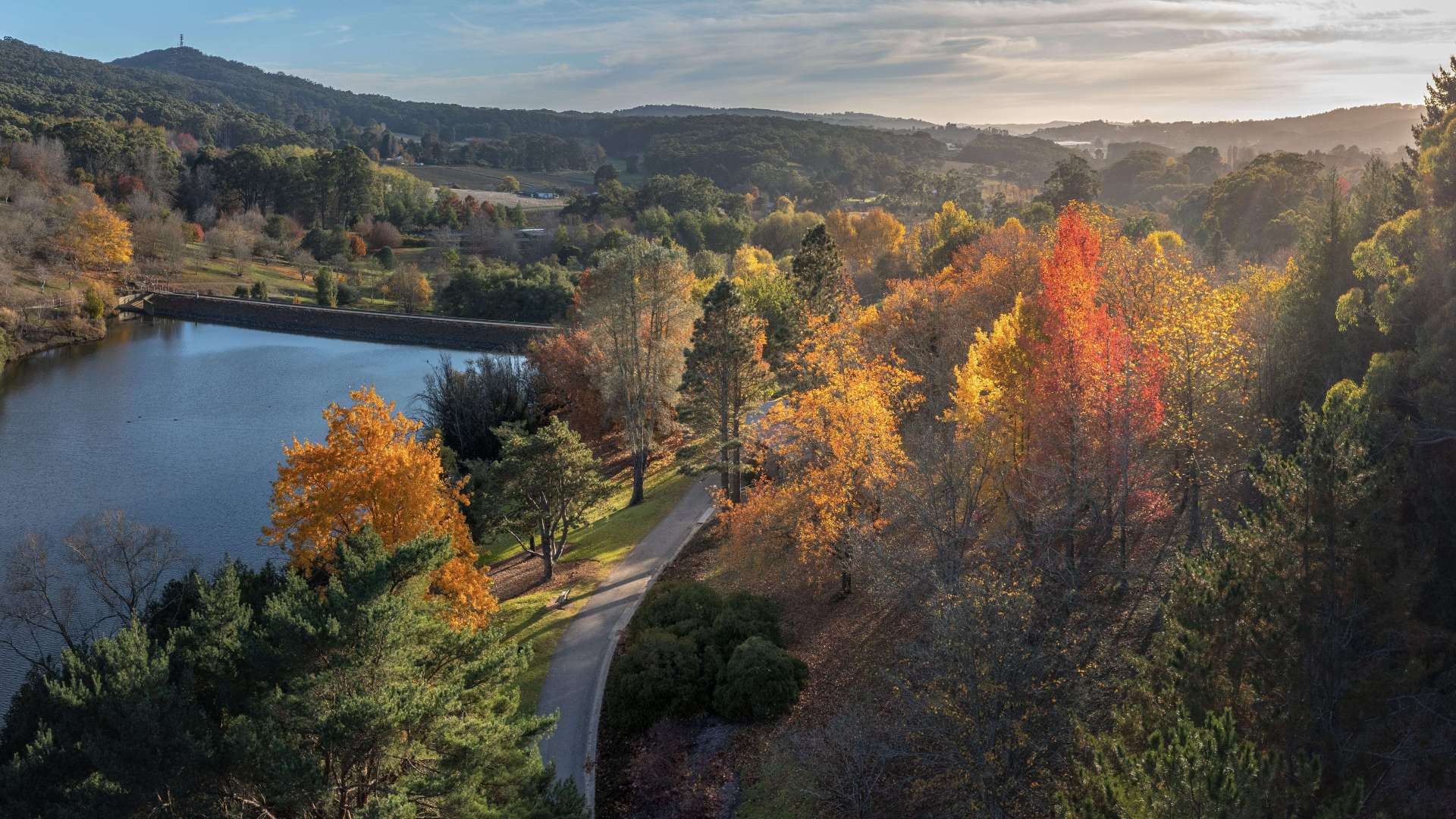 Adelaide Hills
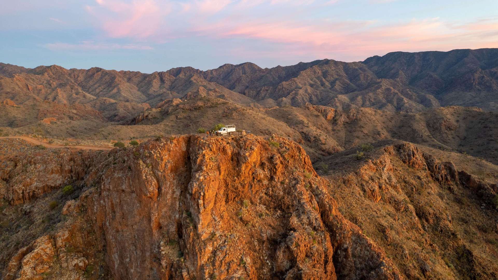 Flinders Ranges and Outback
 Eyre Peninsula
 LGA Latrobe
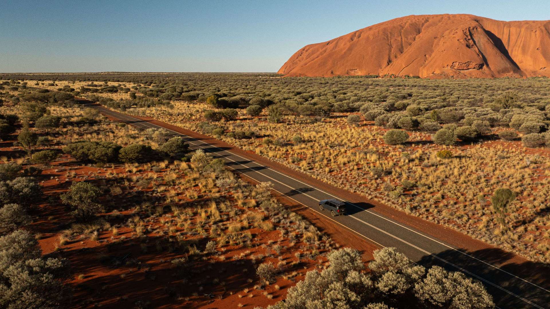 Uluru/Kata Tjuta Region
 Kakadu
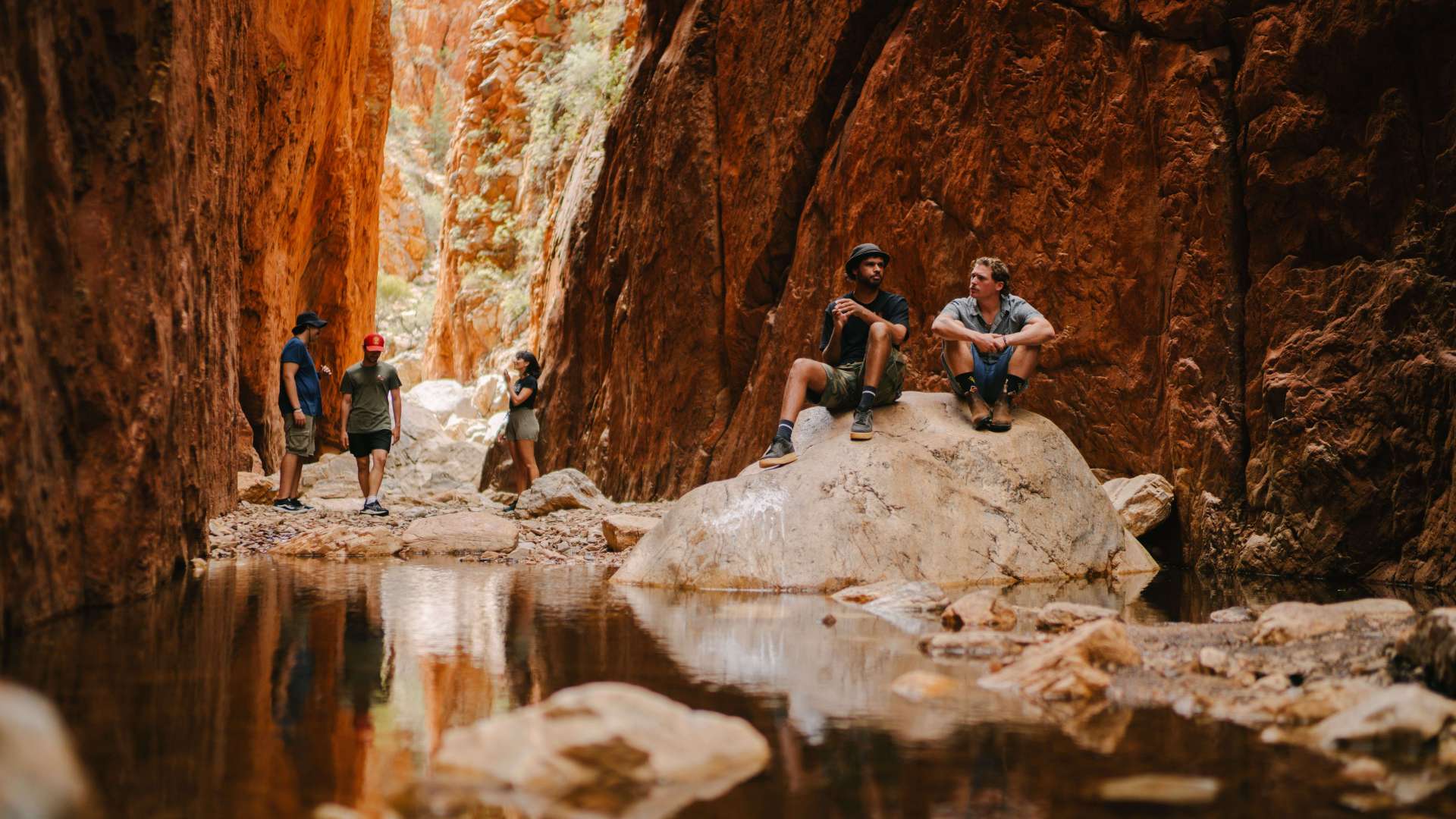 Alice Springs & Surrounds
 Darwin & Surrounds
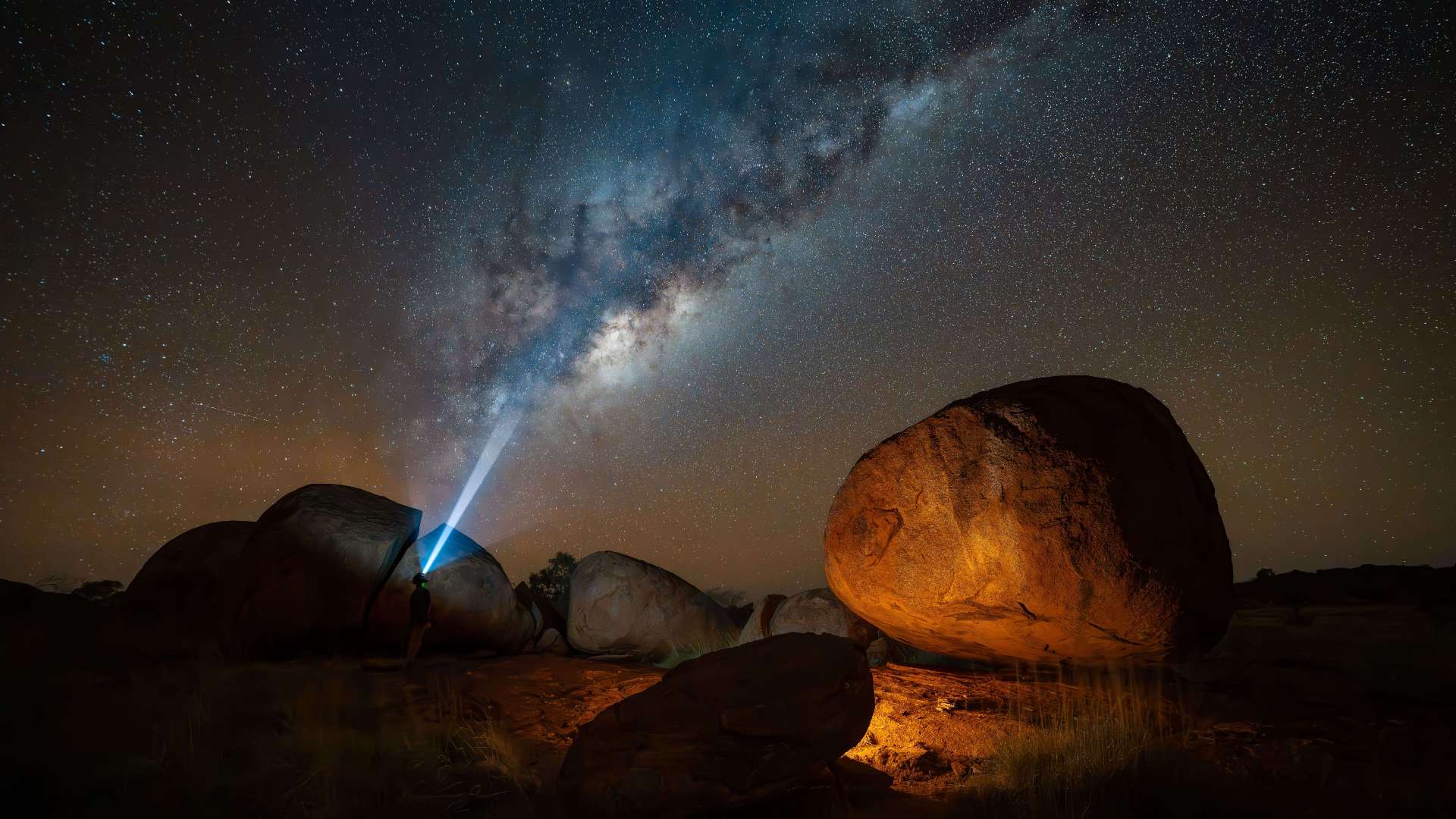 Tennant Creek & Barkly Region
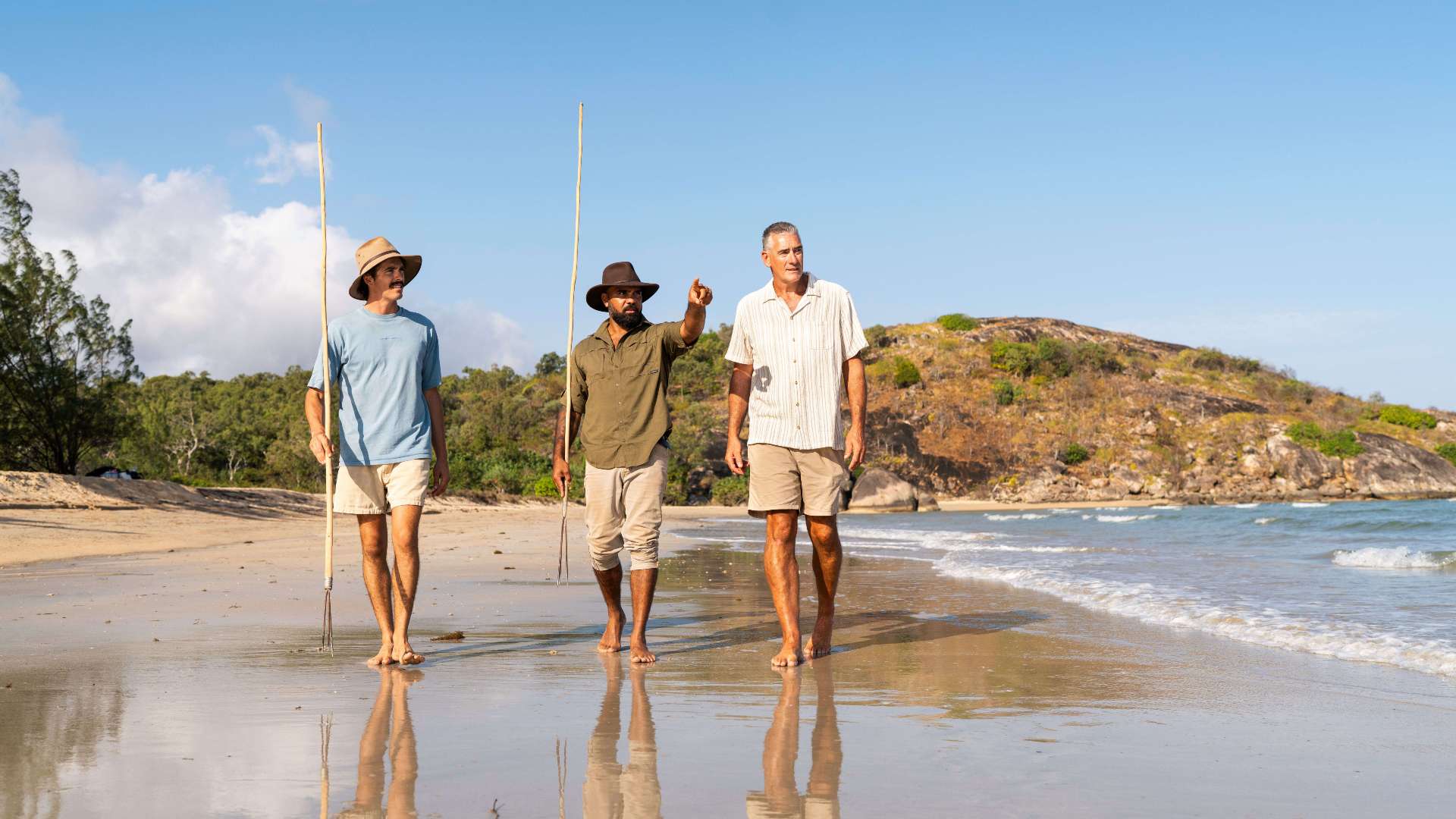 Arnhem Land
 Katherine & Surrounds
 Canberra Region

Kimberley Aerial Highway
 Make a Booking
Kimberley Aerial Highway
75 Coolibah Drive, Kununurra, Western Australia, Australia, 6743
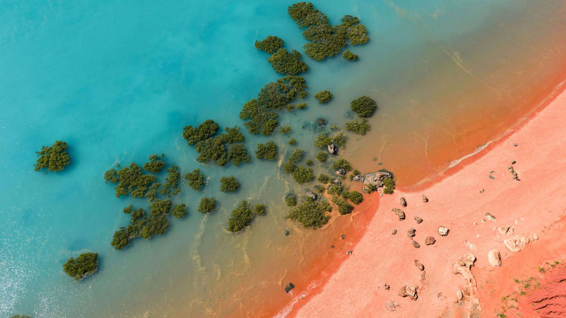
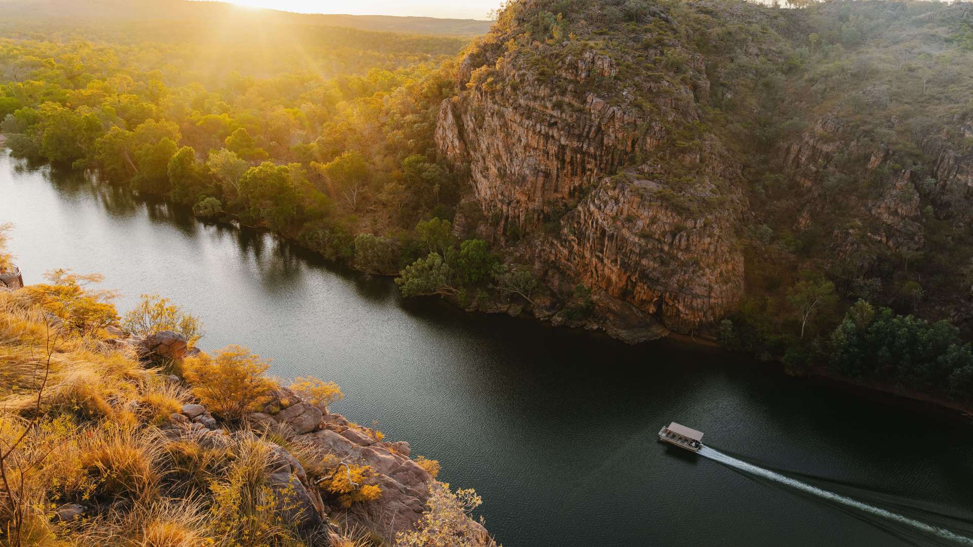
The Kimberley Aerial Highway is the quickest route to beautiful, world-class wilderness, remote communities and legendary homesteads.
A series of airstrips make up the Aerial Highway, landing you in some of the Kimberley's most iconic landscapes and unique accommodations, from Cape Leveque and the Bungle Bungle Ranges of Purnululu National Park to Home Valley Station and El Questro Wilderness Park.
Have your camera at the ready for breathtaking fly-overs of remote and striking natural wonders. Must-snap opportunities include Horizontal Waterfalls, the Rowley Shoals, the Buccaneer Archipelago and the King George River, to name-drop a few.
The best time to experience the Kimberley Aerial Highway is between April and October, with near-perfect holiday weather of clear blue skies and comfortable day and night temperatures. Maximum temperatures average 30 degrees Celsius during these months, and there is very little rainfall.
You can book through your local travel agent, using Broome or Kununurra as your base, or there are a growing number of private charter companies who can help design your own itinerary.
When planning your Aerial Highway adventure, be sure to pre-book your accommodation and ground transport, as many airstrips are located some distance from attractions and accommodation.
Address
75 Coolibah Drive, Kununurra, Western Australia, Australia, 6743
Phone
1800 586 868
Make a Booking
You might also like...
 Sunshine Coast Area, Queensland
1 / 1

Starting Planning your next thing With Us
Your next big adventure awaits, and Things to Do is here to help make that run smoothly! Join today and take advantage of our easy to use features.
Join Now