
 Norfolk Island
 South Coast
 Outback NSW
 Snowy Mountains
 Blue Mountains
 North Coast
 Lord Howe Island
 Central Coast
 Greater Sydney
 Country NSW

 Geelong & the Bellarine
 The Murray
 Goldfields
 Daylesford & the Macedon Ranges
 Yarra Valley & Dandenong Ranges
 Gippsland
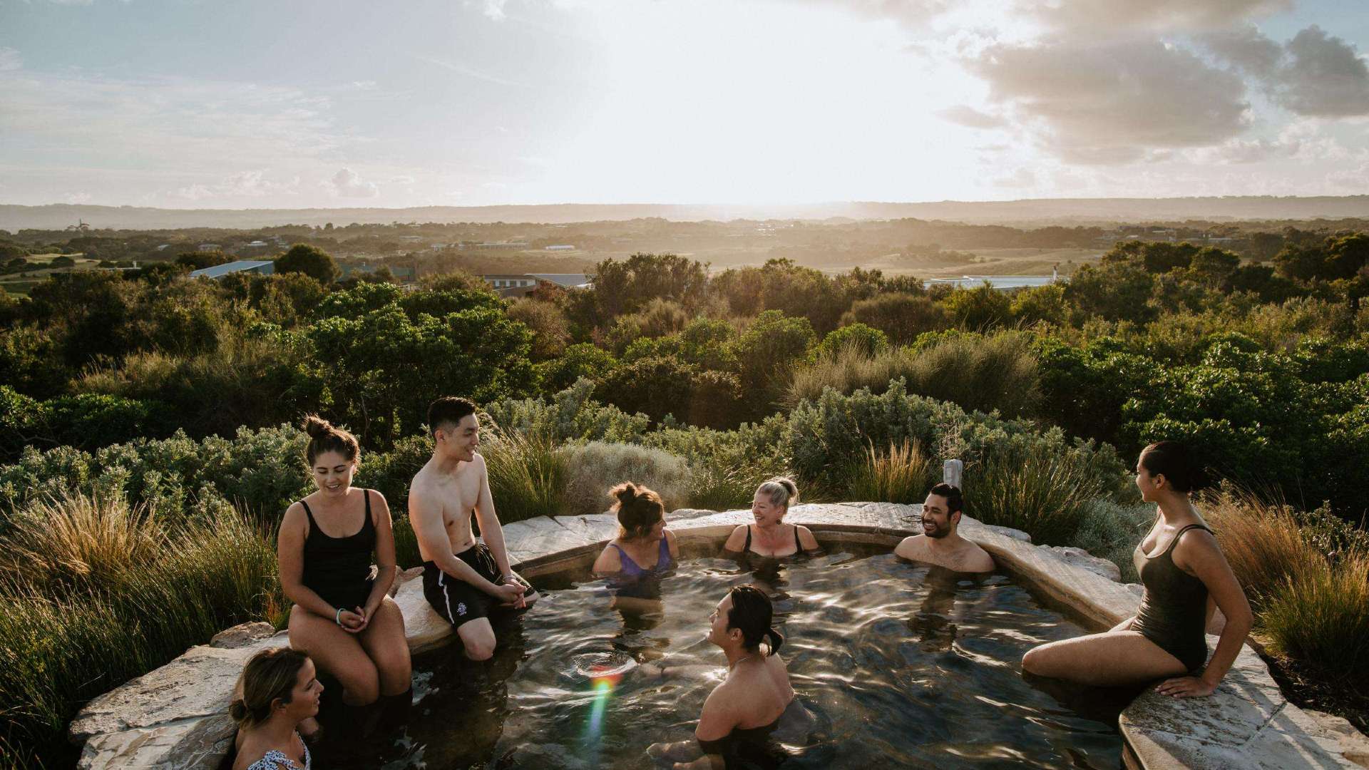 Mornington Peninsula
 Melbourne
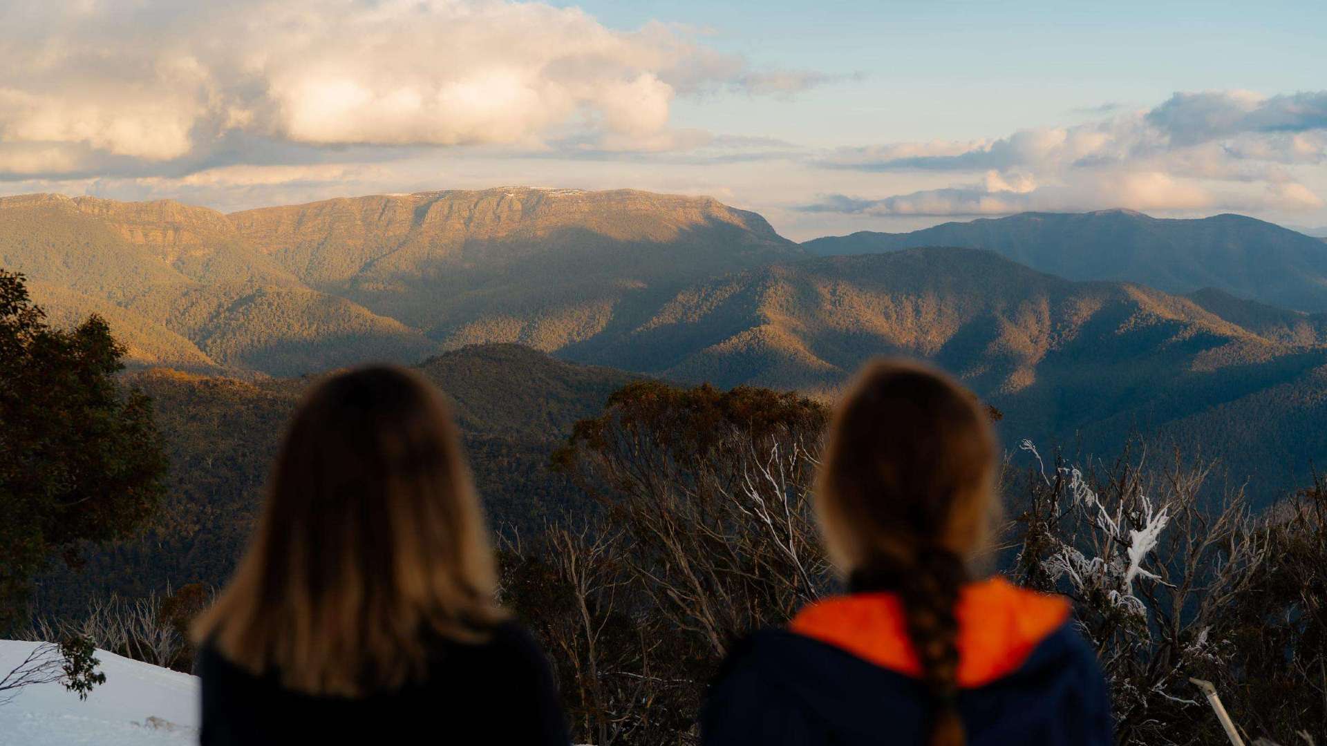 High Country
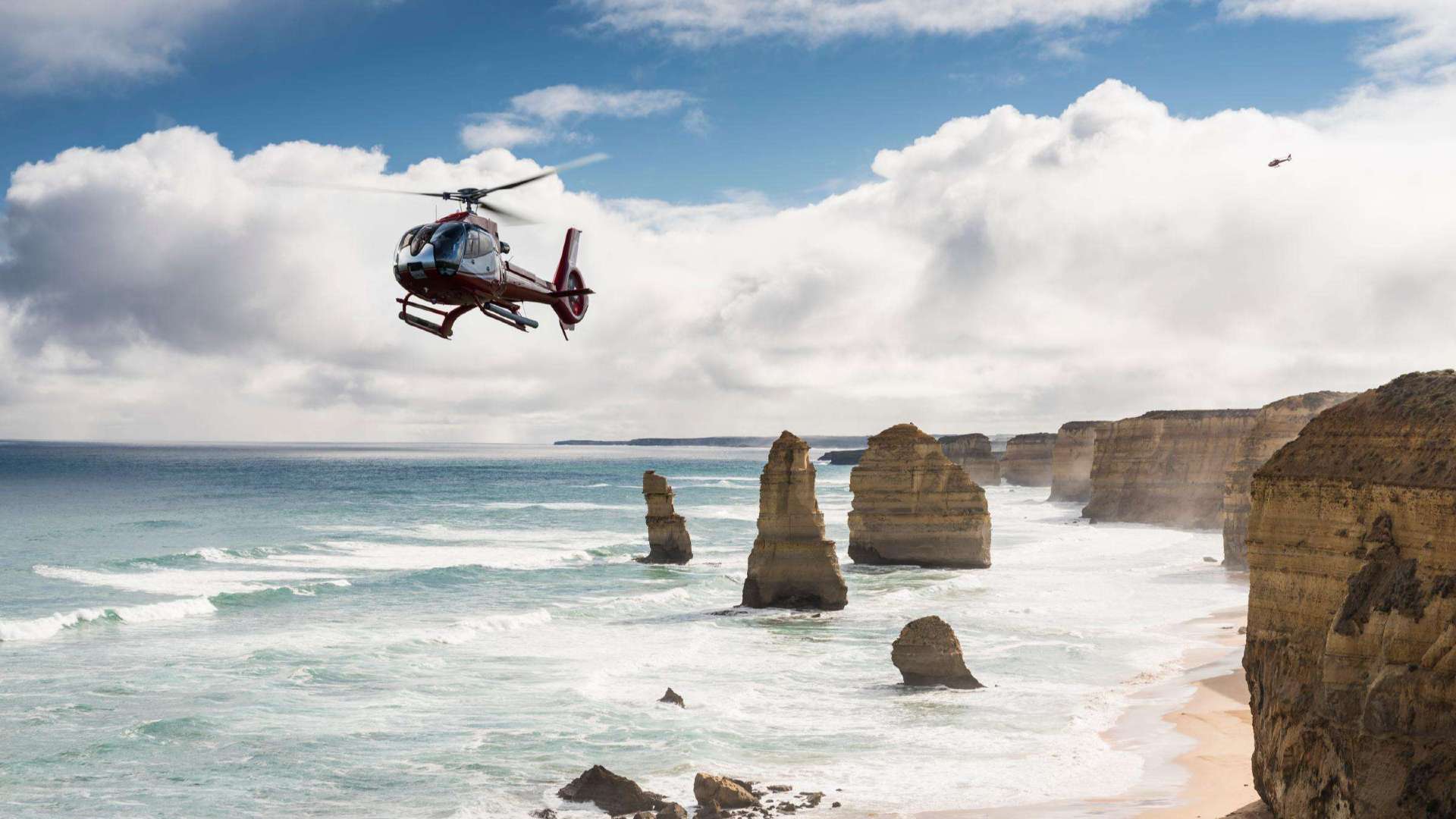 Great Ocean Road

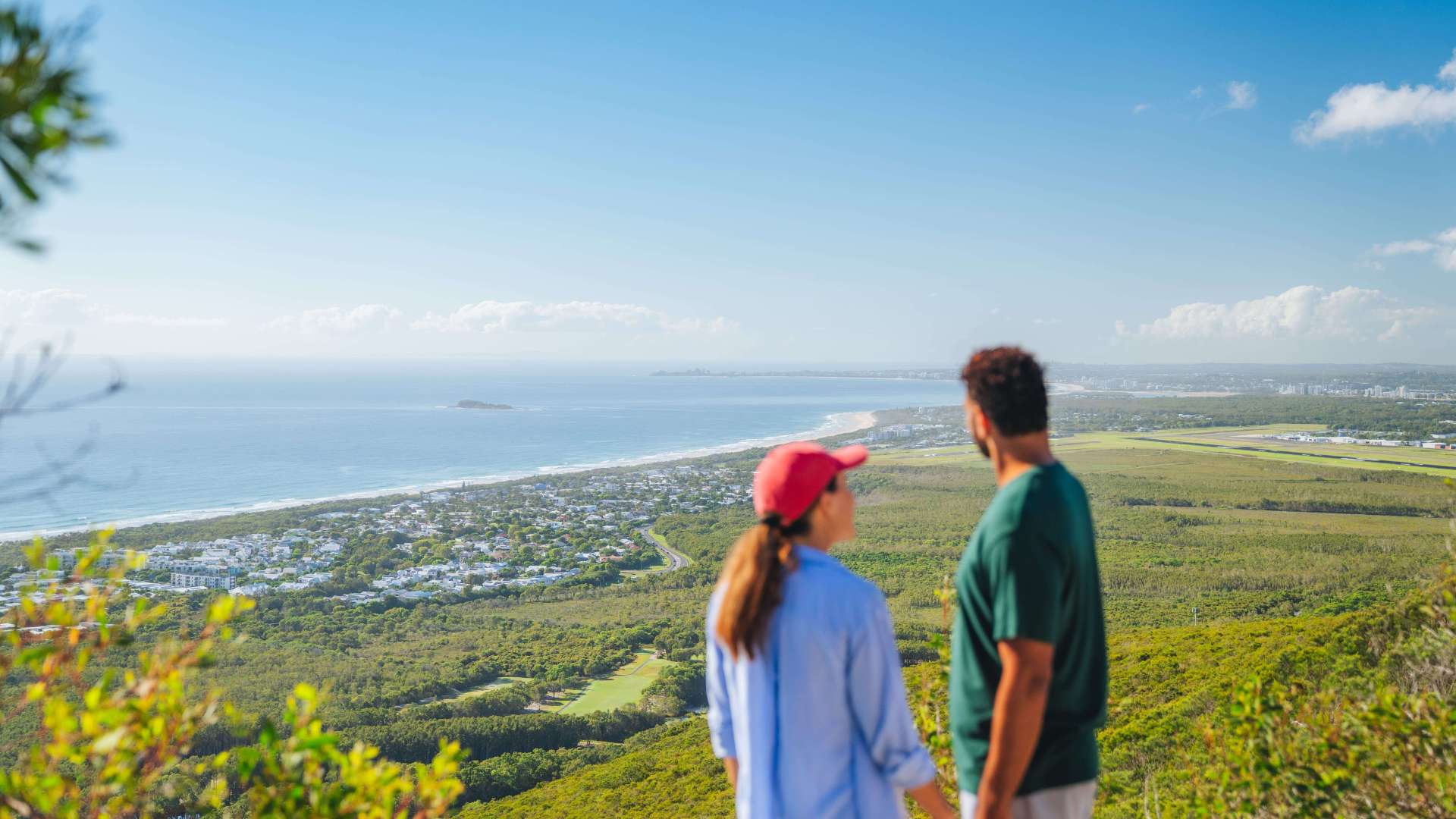 Sunshine Coast Region
 Mackay Region
 Gold Coast Region
 Far West
 Western Downs Region
 Capricorn Region
 Townsville Region
 Fraser Coast Region
 Gulf Savannah
 Gladstone Region
 Cocos (Keeling) Islands
 Australia's South West
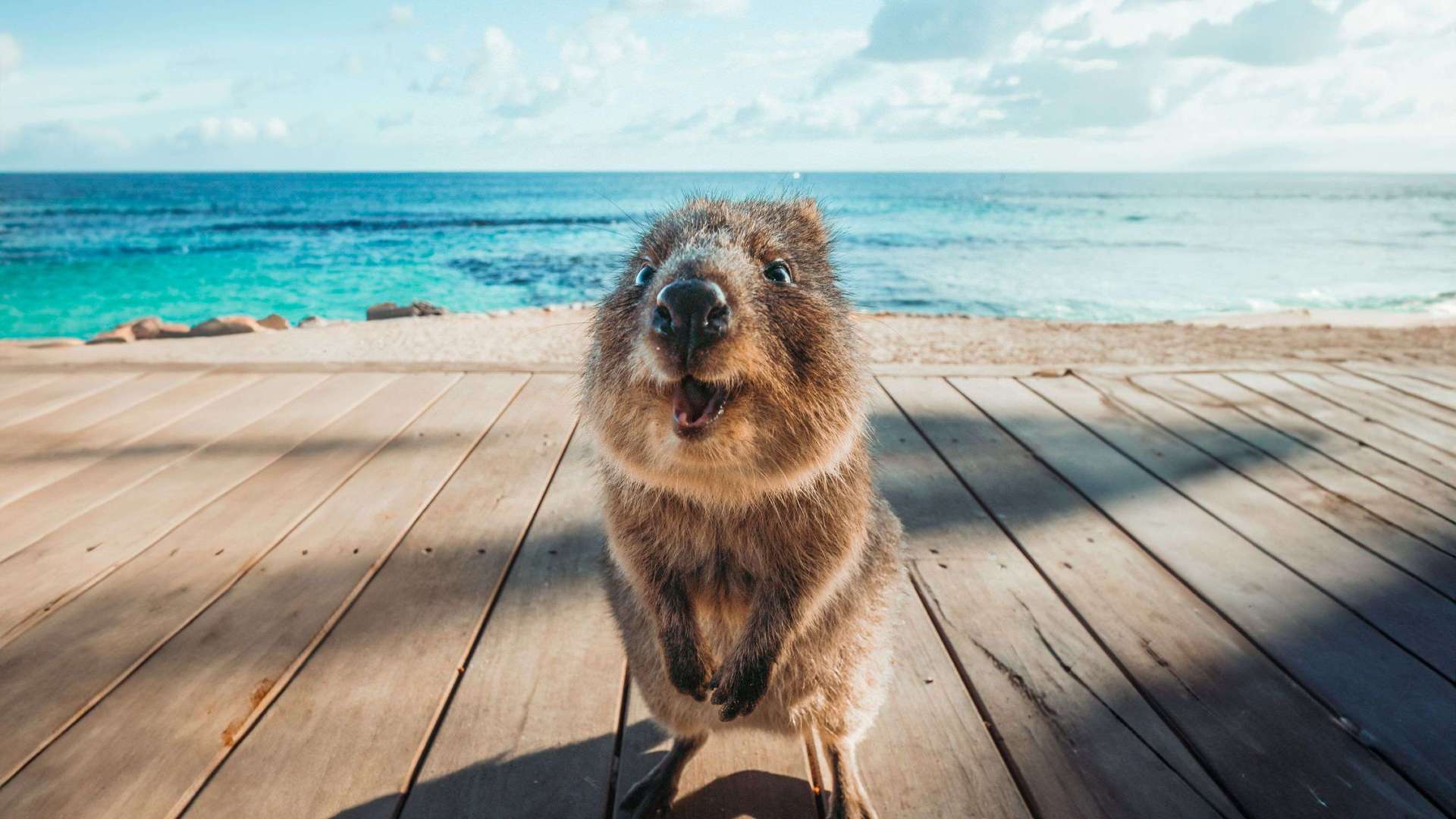 Destination Perth
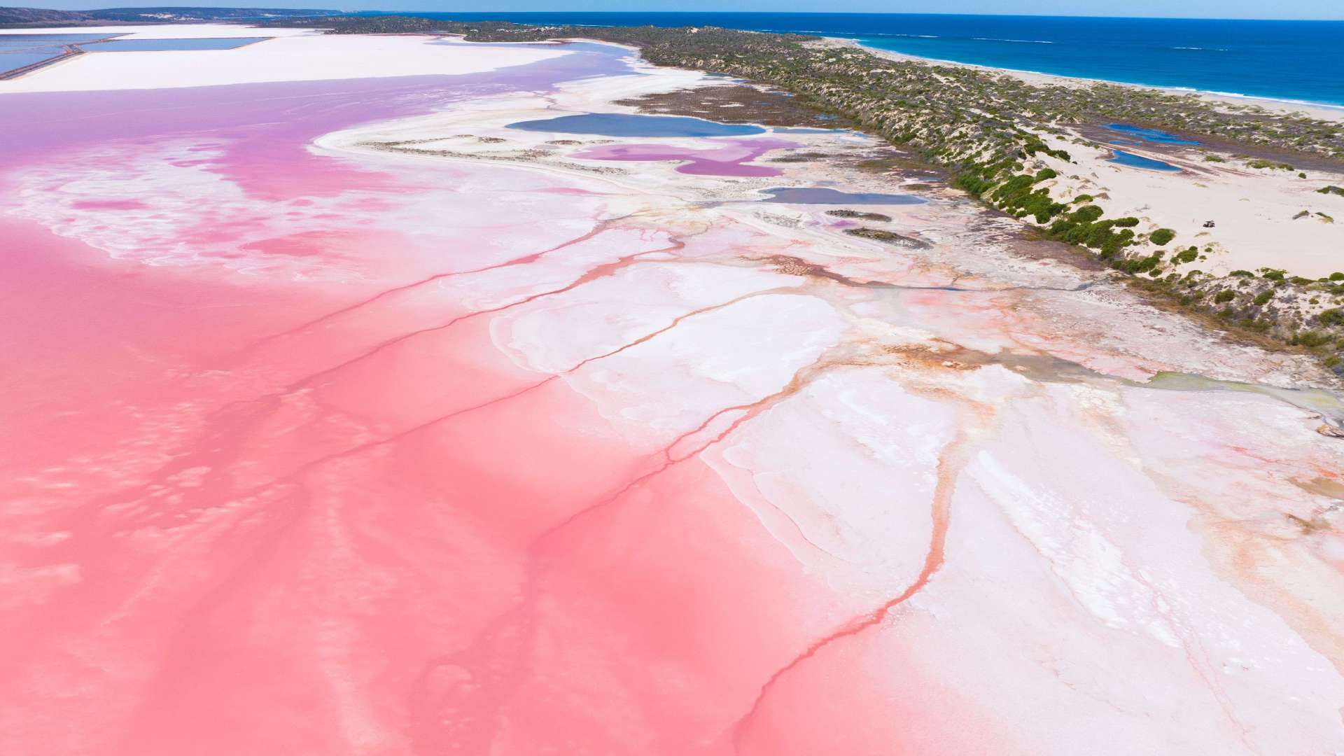 Australia's Coral Coast
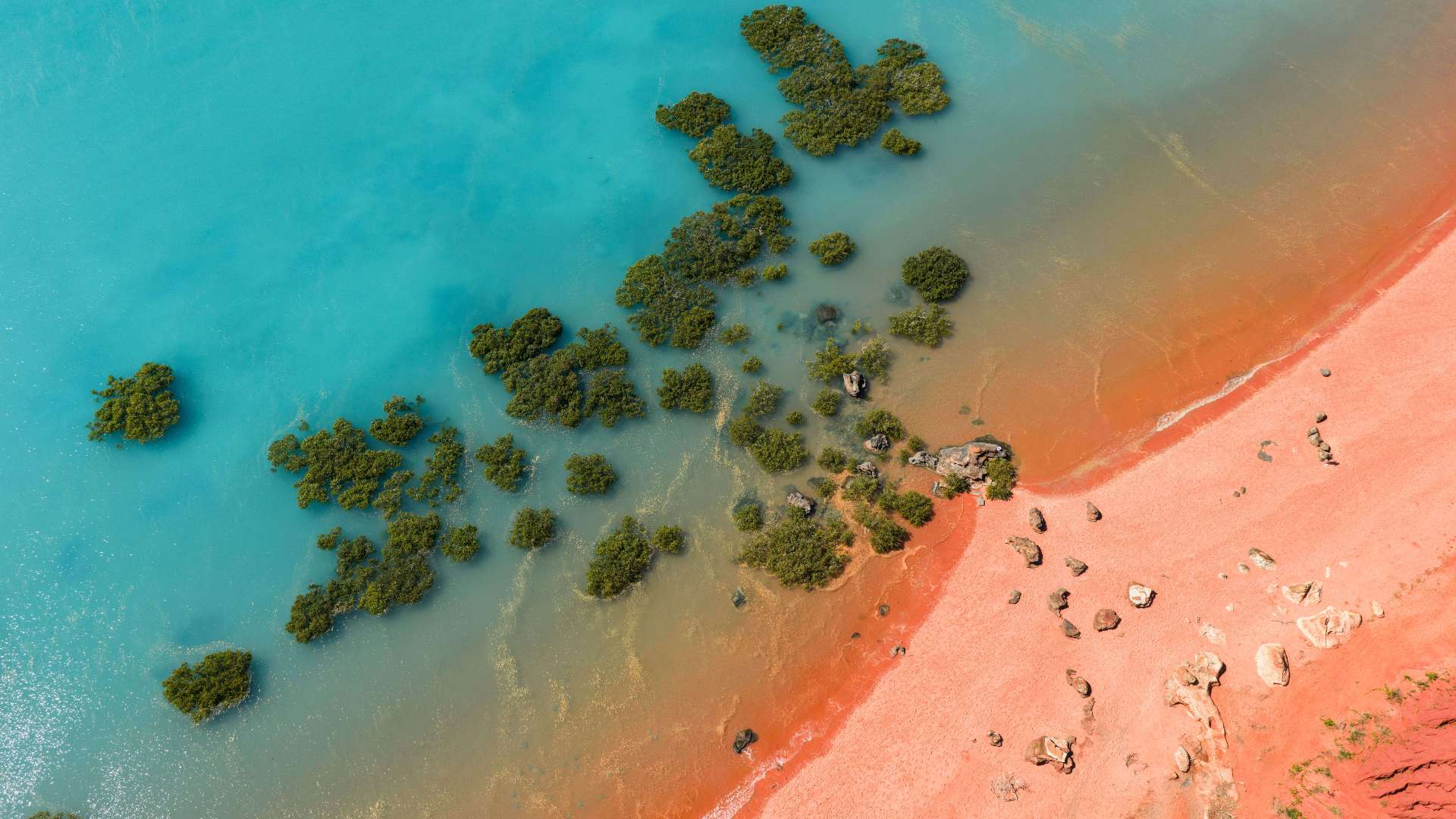 Australia's North West
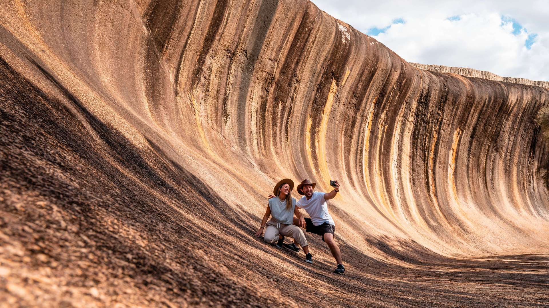 Australia's Golden Outback
 Christmas Island

 Limestone Coast
 Murray River, Lakes and Coorong
 Yorke Peninsula
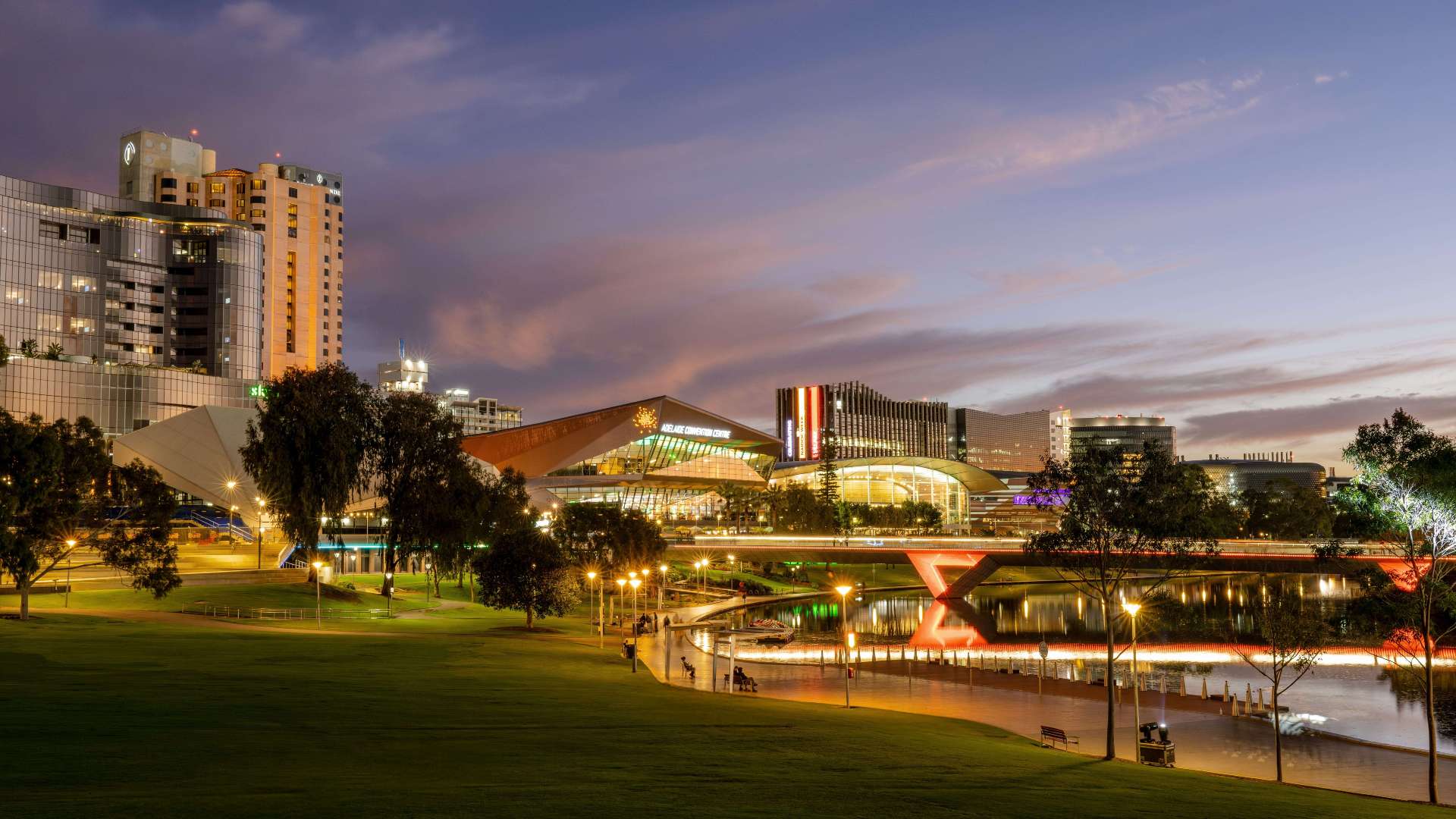 Adelaide
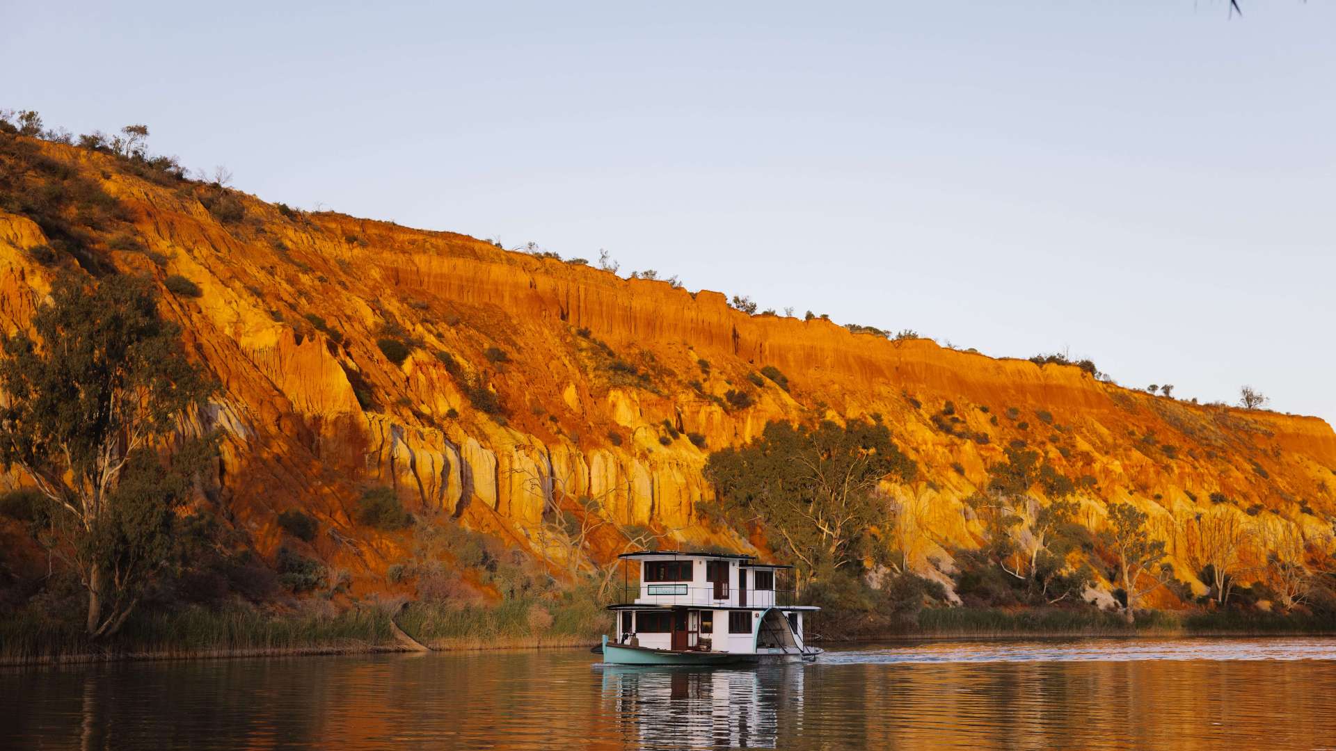 Riverland
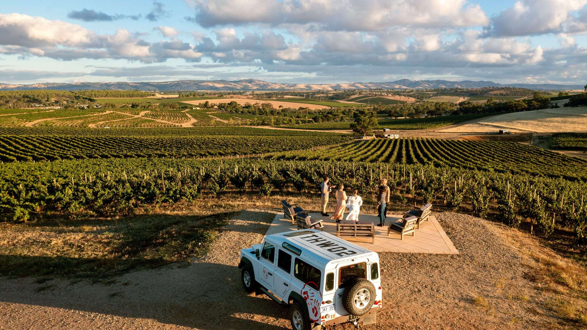 Barossa
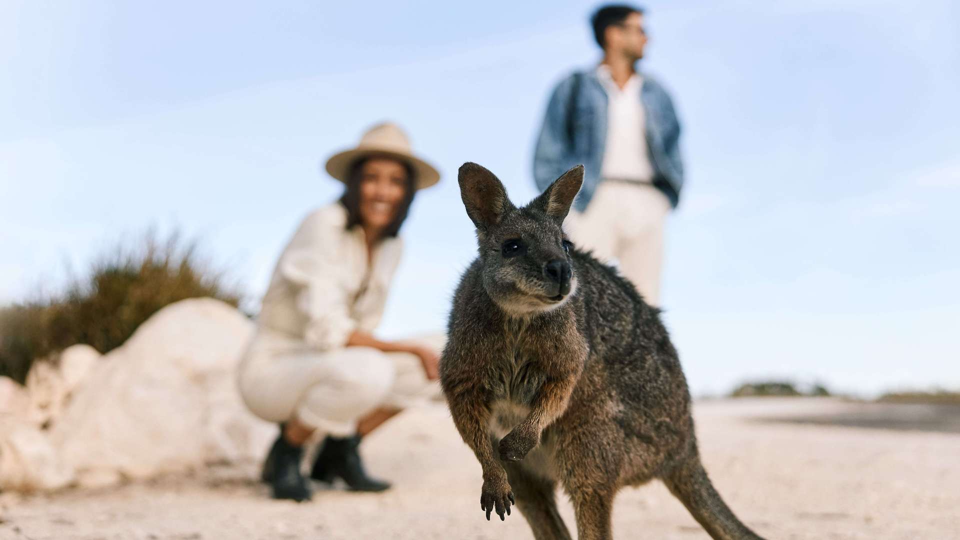 Kangaroo Island
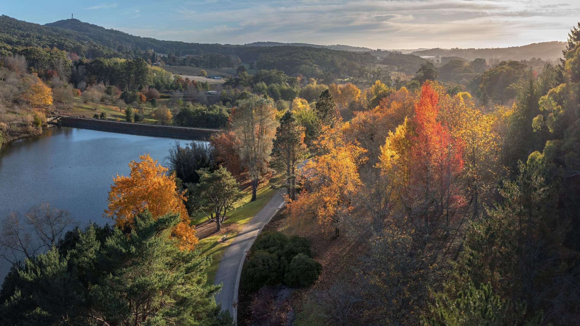 Adelaide Hills
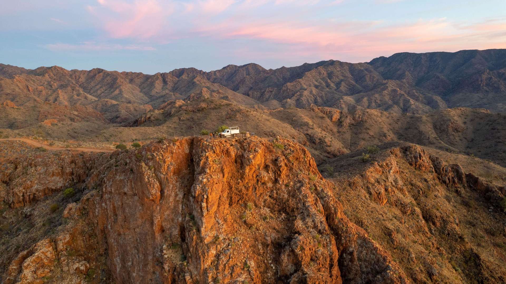 Flinders Ranges and Outback
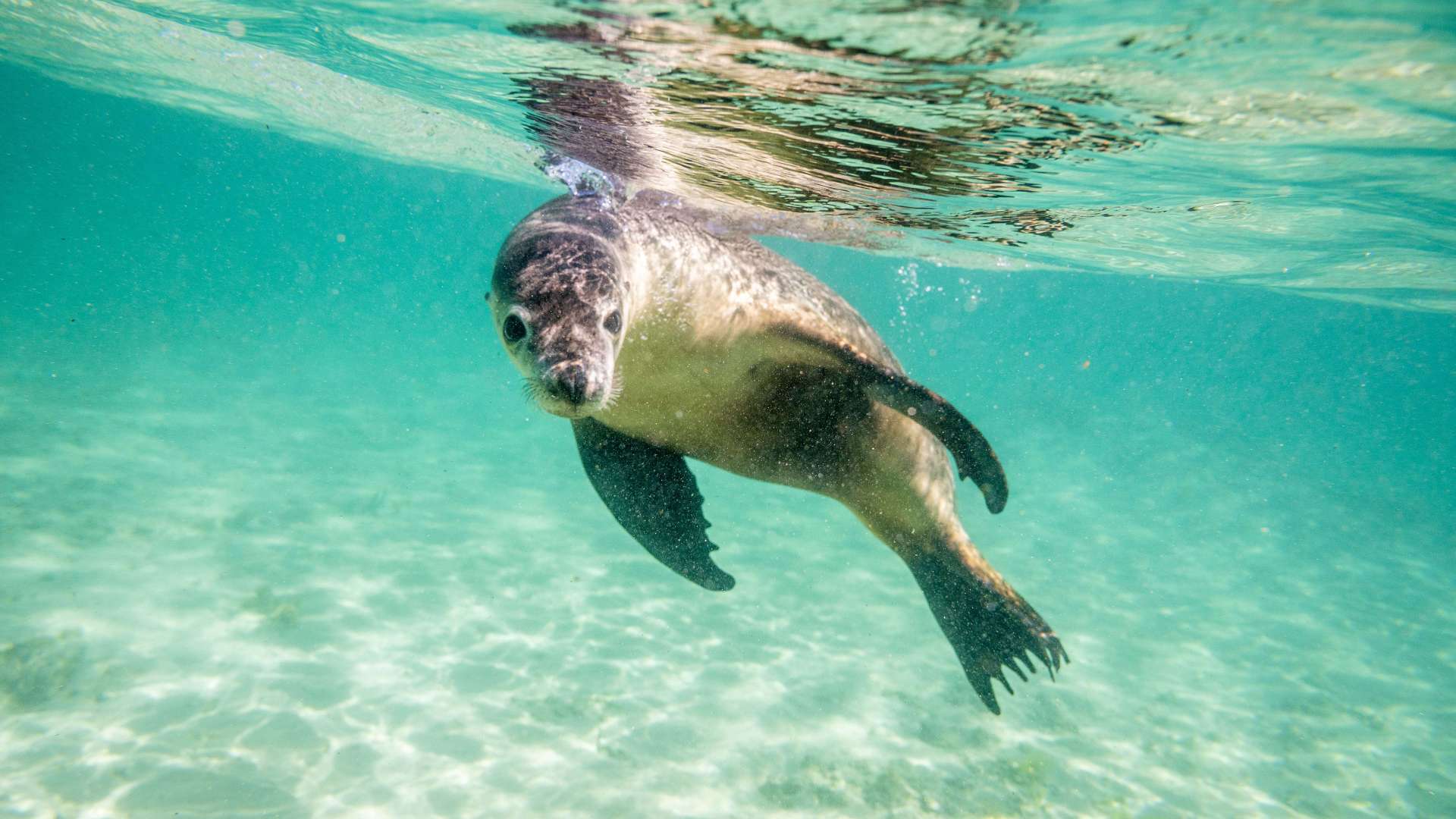 Eyre Peninsula
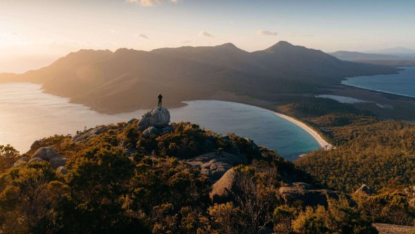 East Coast
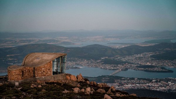 Hobart and South
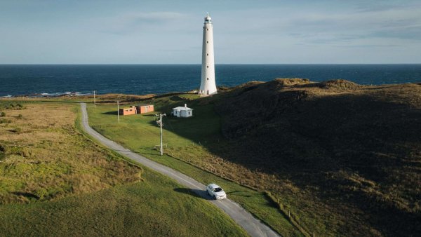 King Island
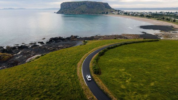 North West
 West Coast
 Launceston and North
 Flinders Island
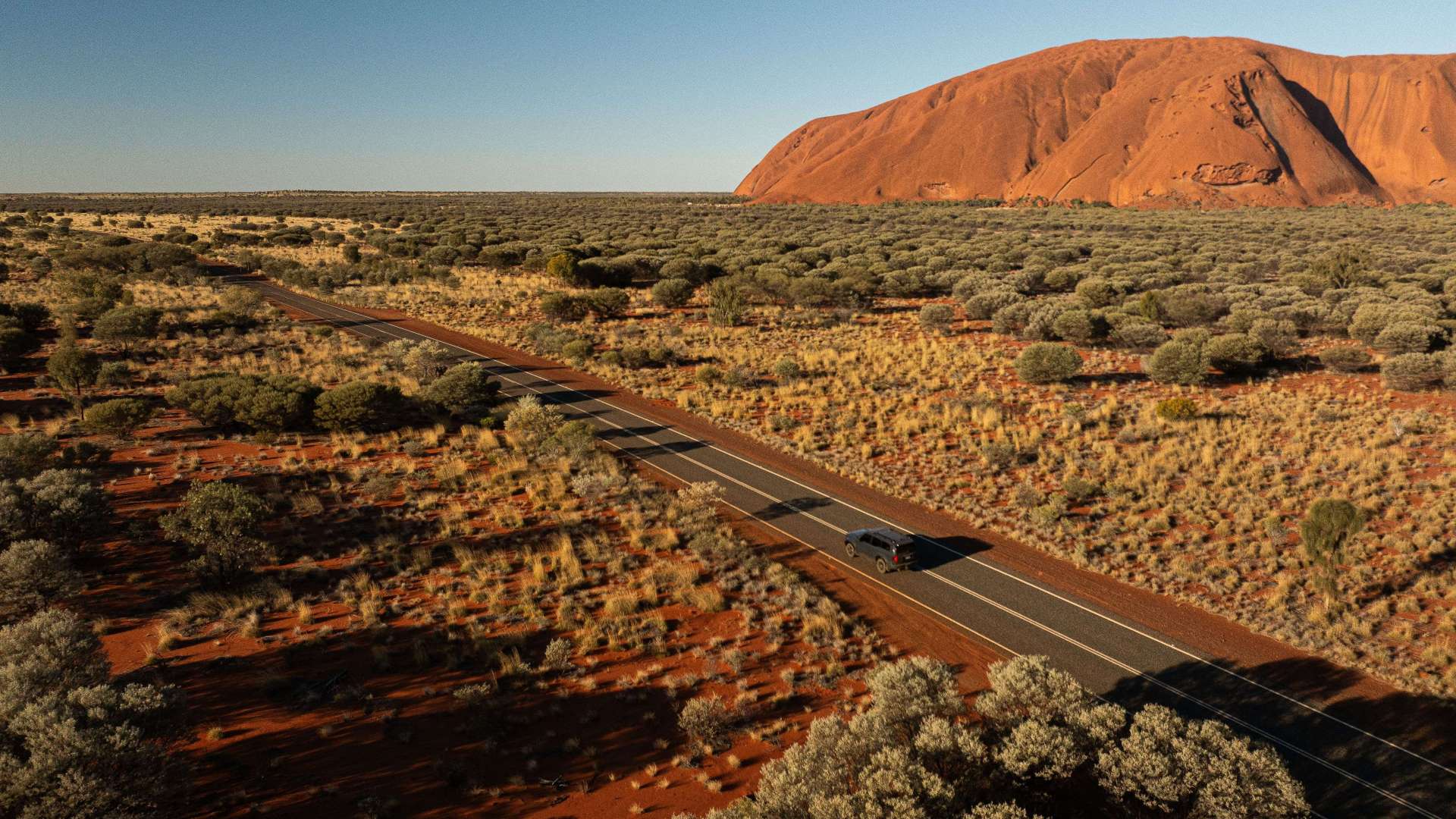 Uluru/Kata Tjuta Region
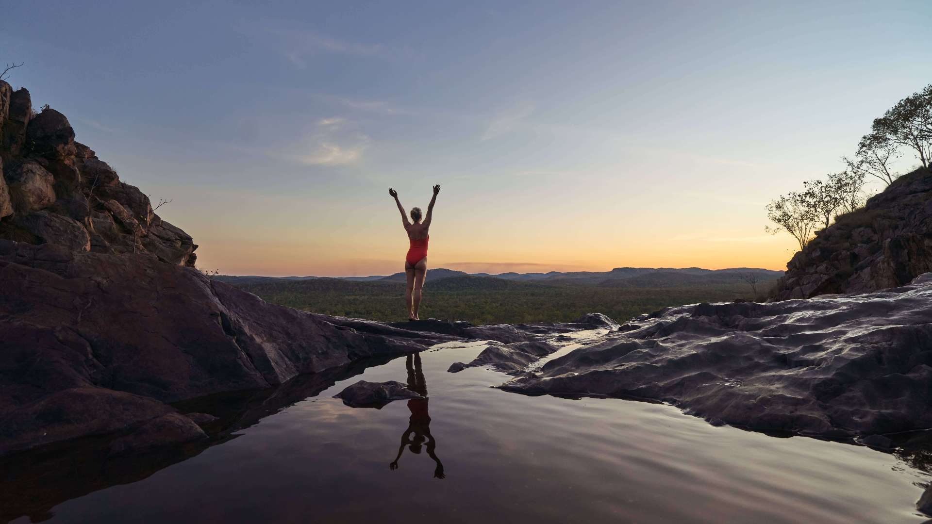 Kakadu
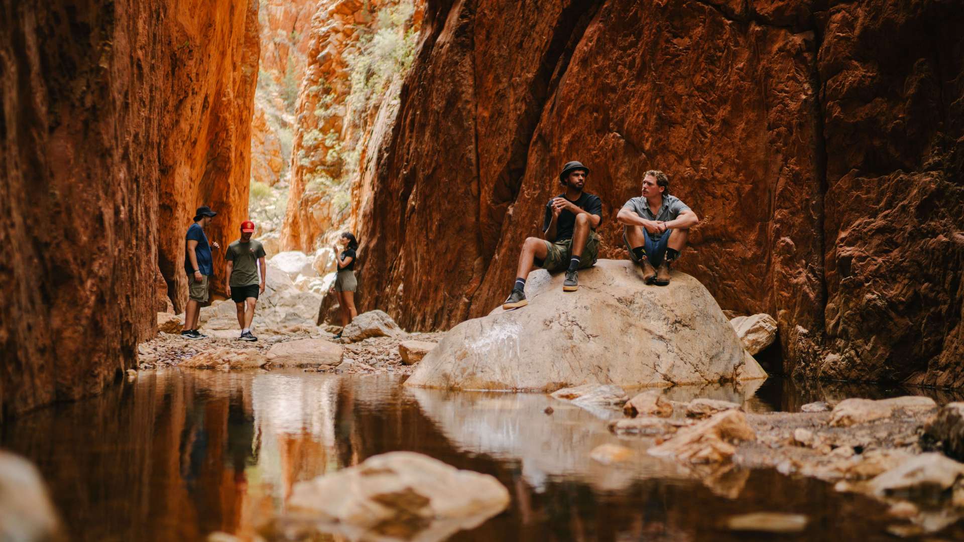 Alice Springs & Surrounds
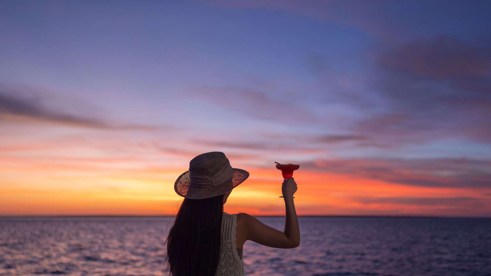 Darwin & Surrounds
 Tennant Creek & Barkly Region
 Arnhem Land
 Katherine & Surrounds
 Canberra Region


 Join Now
 Mt Sonder (Rutjupma)

Mt Sonder (Rutjupma)
West MacDonnell Ranges, Northern Territory
Mt Sonder is the highest point in the West MacDonnell Ranges. It marks the western end of the Larapinta Trail, a 231 kilometre walking trail that extends from Alice Springs.
Walk the challenging trail to the top of Mt Sonder, at 1,380 metres above sea level, for spectacular views across the ranges and the surrounding plains. The walk can be accessed from the Larapinta Trail or from Redbank Gorge carpark.
Look for local wildlife, including the Grey-headed honeyeater, lizards and termite tunnels on spinifex.
Near the summit the vegetation changes and the round-leafed mallee and native pine become more prevalent on the high slopes and stony cliffs. Look for the wide range of birds of prey, such as the Wedge-tailed eagle and the Peregrine falcon and wood swallows circling the summit, riding the thermal updraughts.
Pitch a tent at the Ridgetop or Woodland camping areas at Redbank Gorge. Multi-day walker fees and camping fees apply for the Larapinta Trail and must be booked online before you arrive. Walker fees are not payable if doing Mt Sonder as a day walk.
Gallery


 Website
 Email
Email
Amenities

Lookouts
Location details

Address
224 kilometres along the Larapinta Trail, starting from the Alice Springs Telegraph Station, West MacDonnell Ranges, Northern Territory, Australia, 0870

Phone
8951 8250You might also like...
 Kanowna, Western Australia
Start Planning your next thing with us
Your next big adventure awaits, and Things to Do is here to help make that run smoothly! Join today and take advantage of our easy to use features.
Join Now
1 / 3