 Norfolk Island
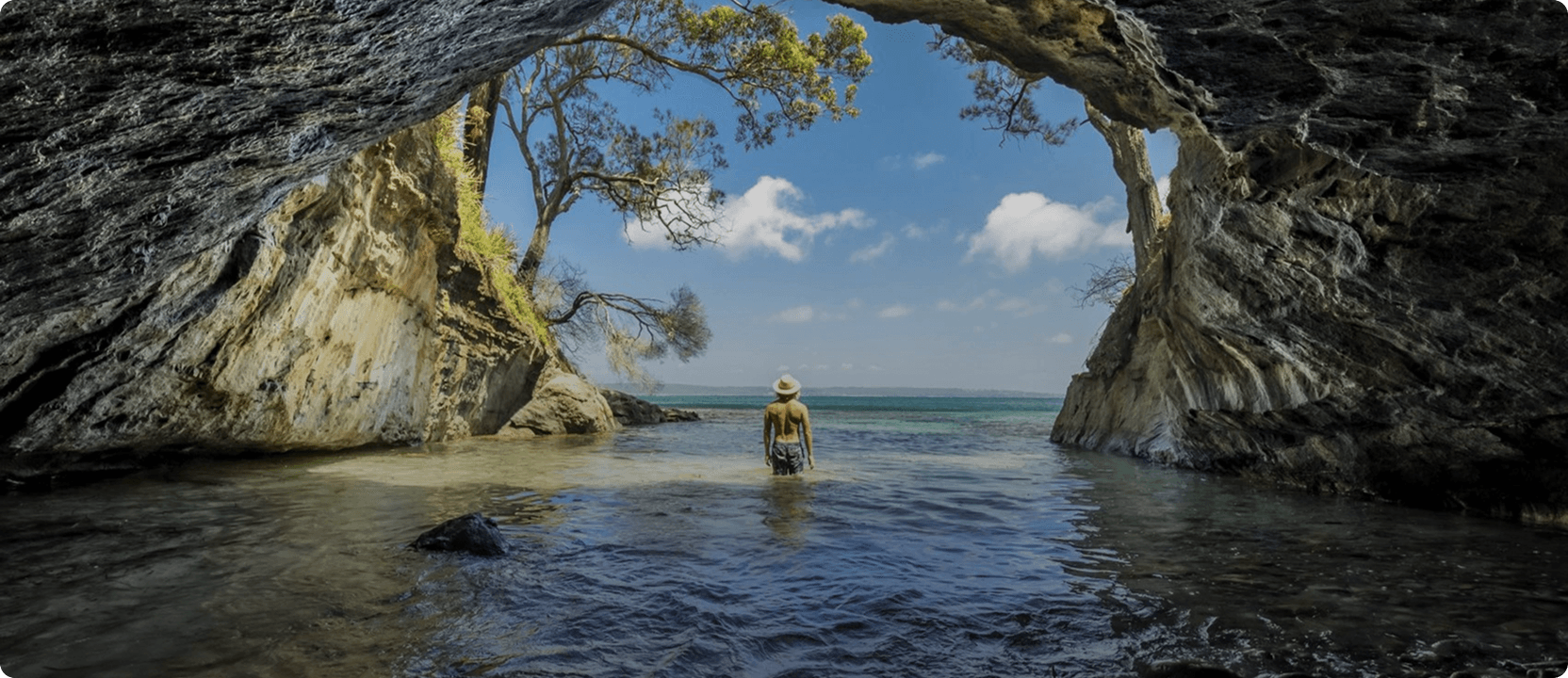
 South Coast
 Snowy Mountains
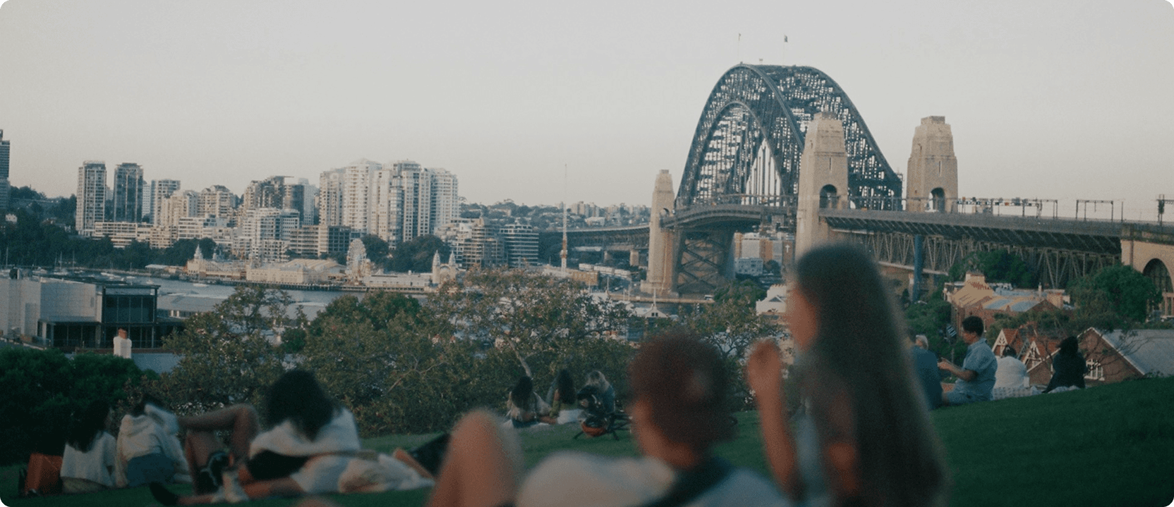
 Blue Mountains
 Join Now


Carappee Hill Conservation Park Hiking Trail
Free
Dates to be announced
Description
Carappee Hill means 'place of water' and became a conservation park in 1973, covering 850 hectares. Carappee Hill Hiking Trail can be found on Carappee Hill Road, just out of Darke Peak, SA.
It is a 2 hour approximate return hike to the top and is the highest point on the Eyre Peninsula at 489m above sea level.
Be sure to sign the visitors book when you reach the top and stop to take in the views of farm land, sea and skies stretching over the entire district of Cleve, Arno Bay and Darke Peak.
Highlights

You might also like...
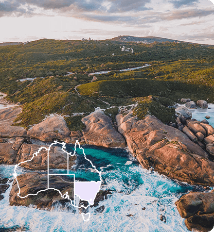
 Canberra, Australian Capital Territory
1 / 8


Starting Planning your next thing With Us
Your next big adventure awaits, and Things to Do is here to help make that run smoothly! Join today and take advantage of our easy to use features.
Join Now