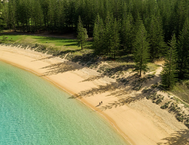
 Norfolk Island
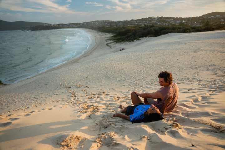
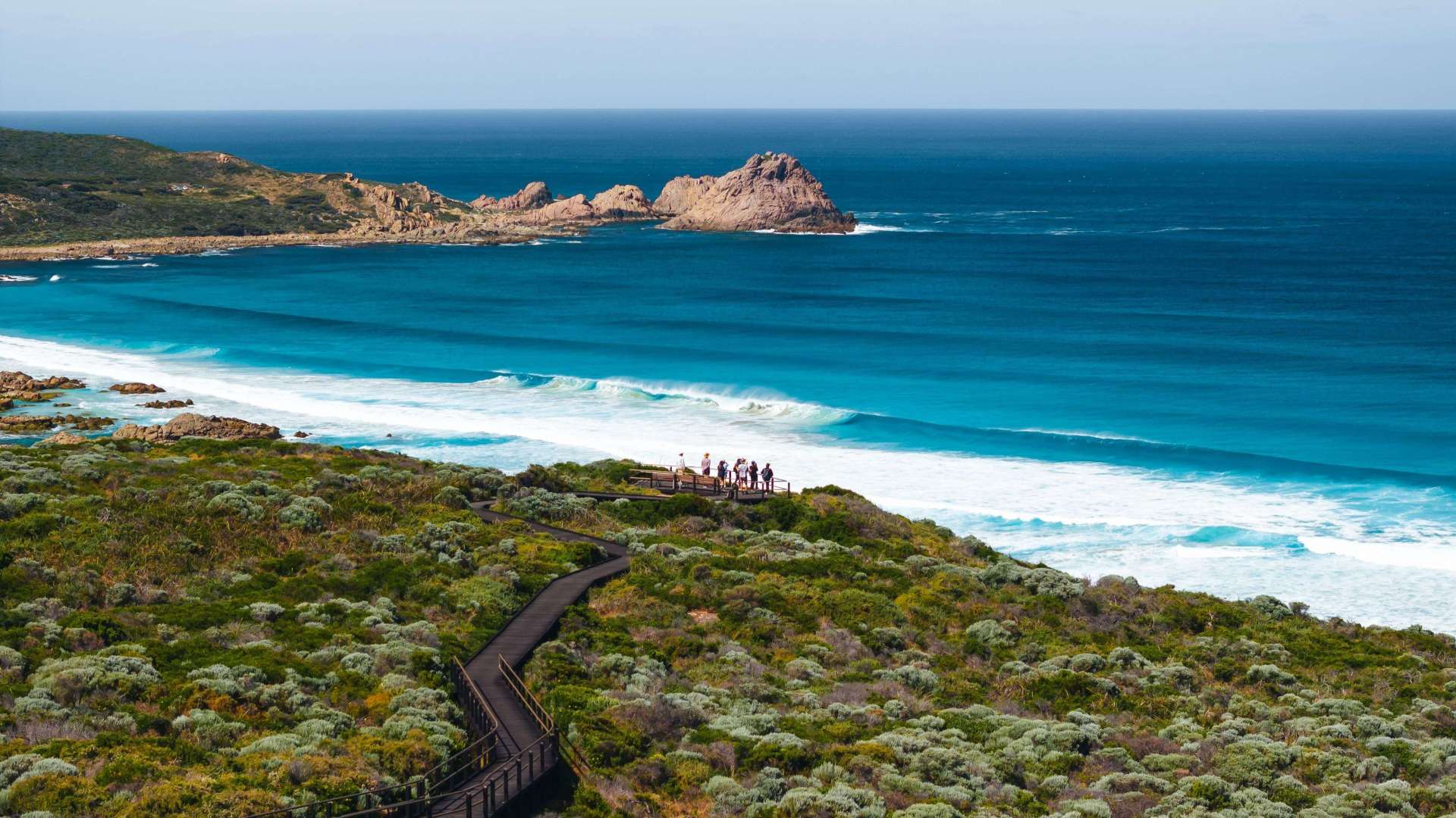
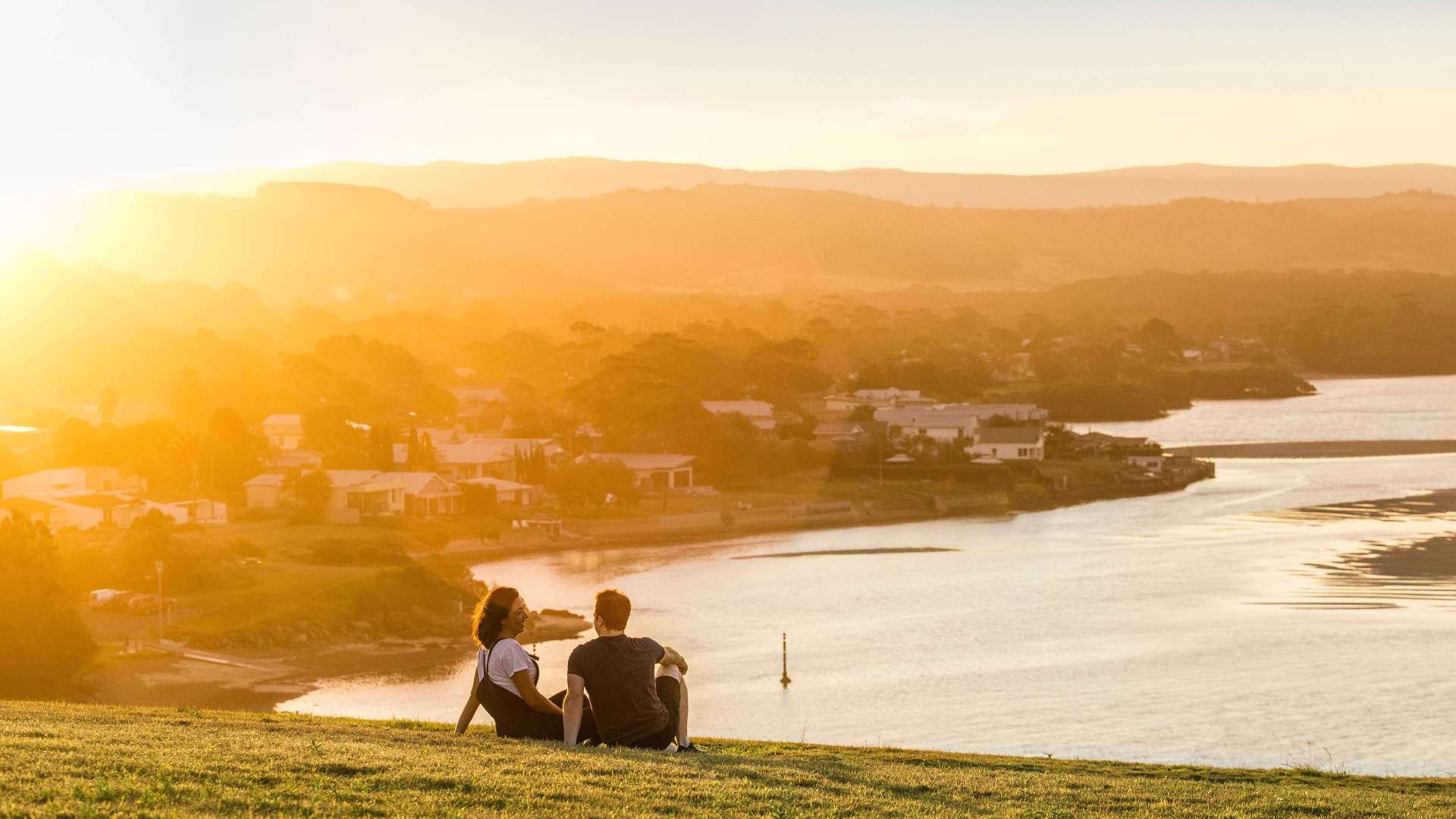 South Coast
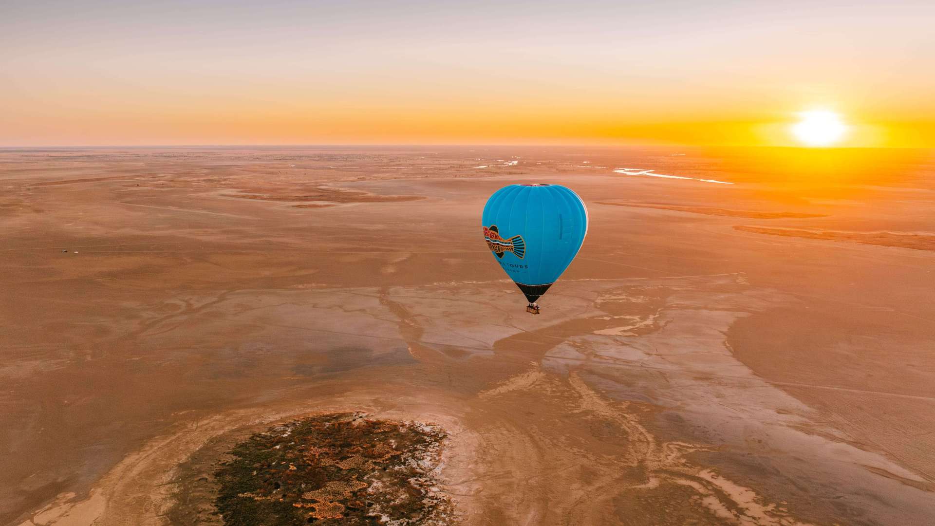
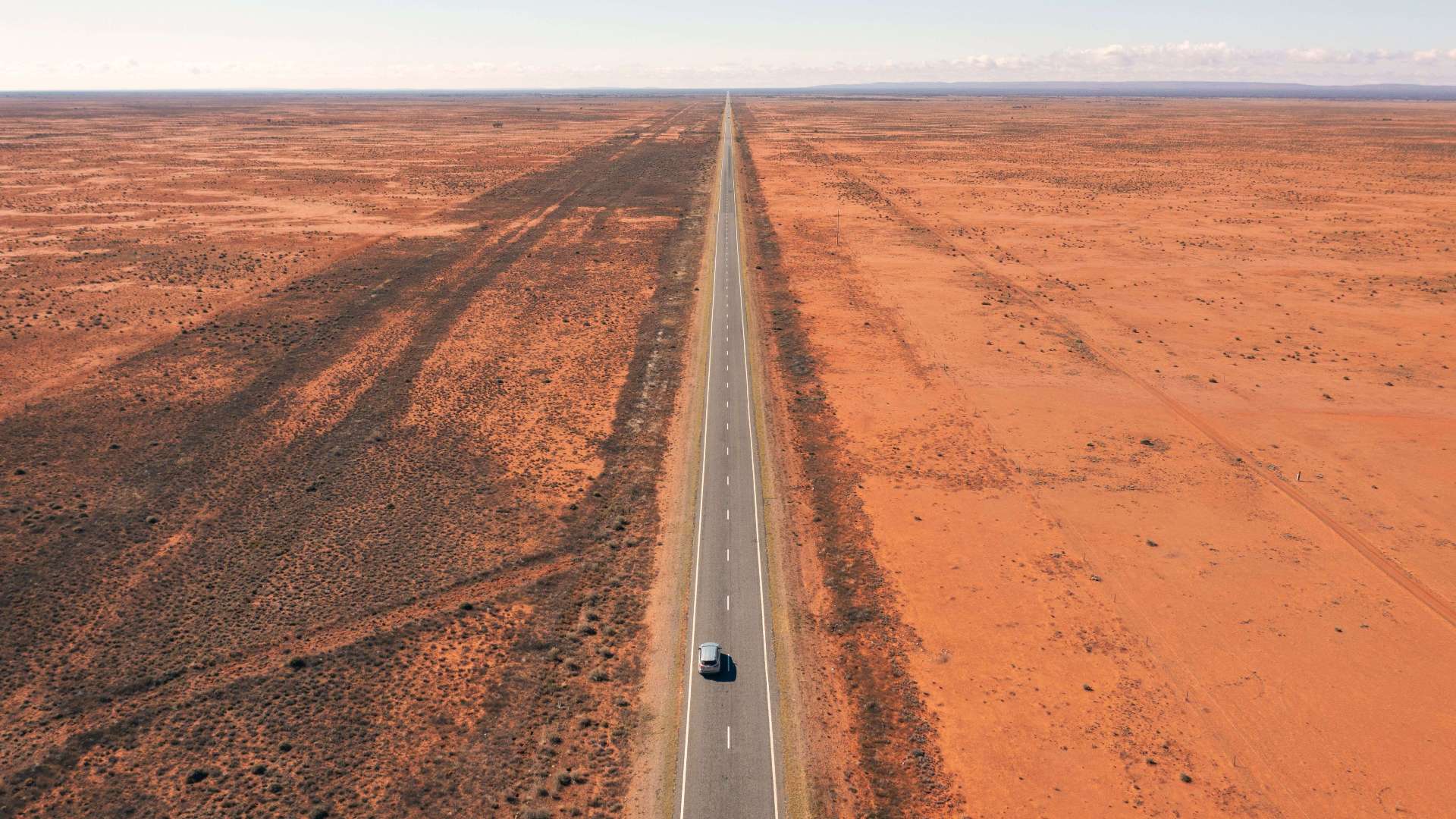 Outback NSW
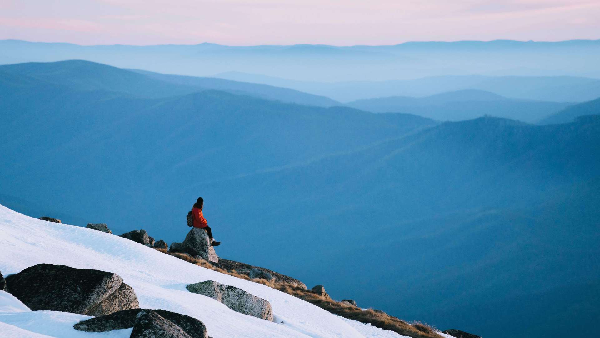 Snowy Mountains
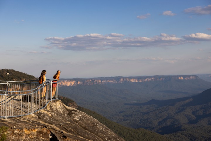 Blue Mountains
 North Coast
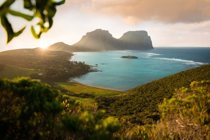 Lord Howe Island
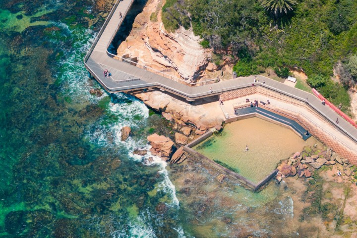 Central Coast
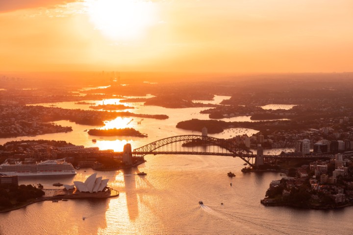 Greater Sydney
 Country NSW

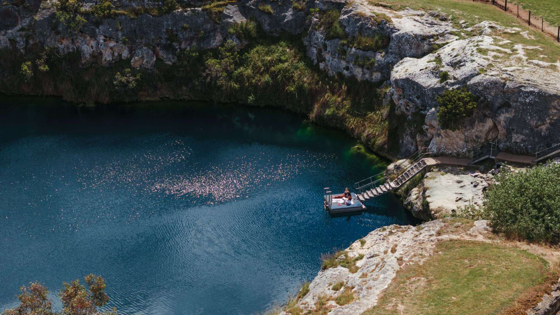
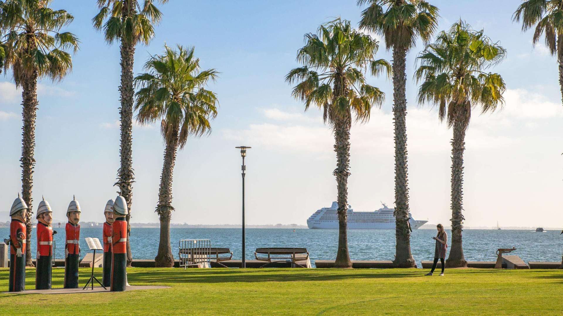 Geelong & the Bellarine
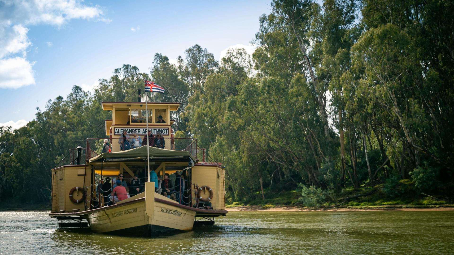 The Murray
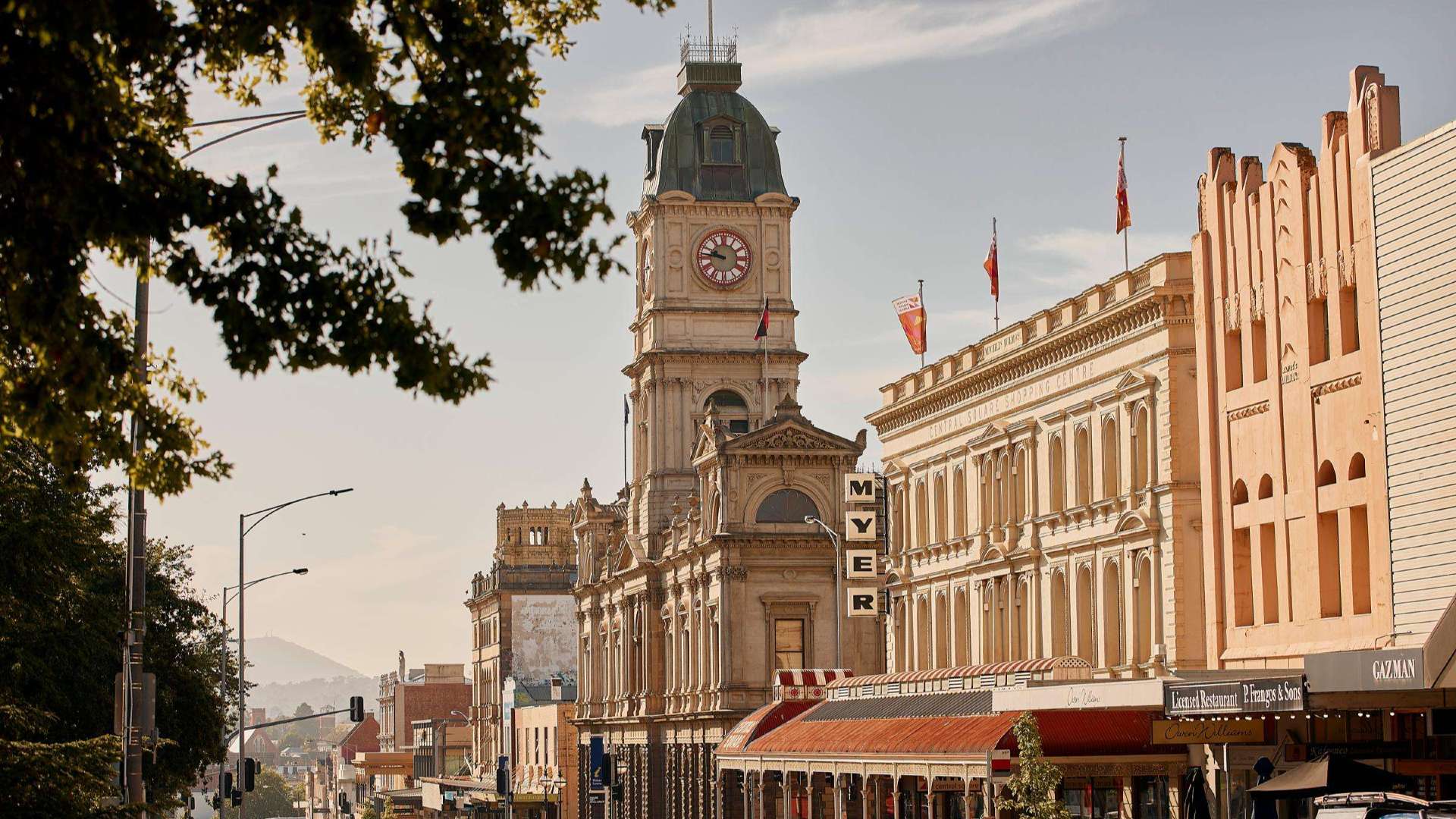 Goldfields
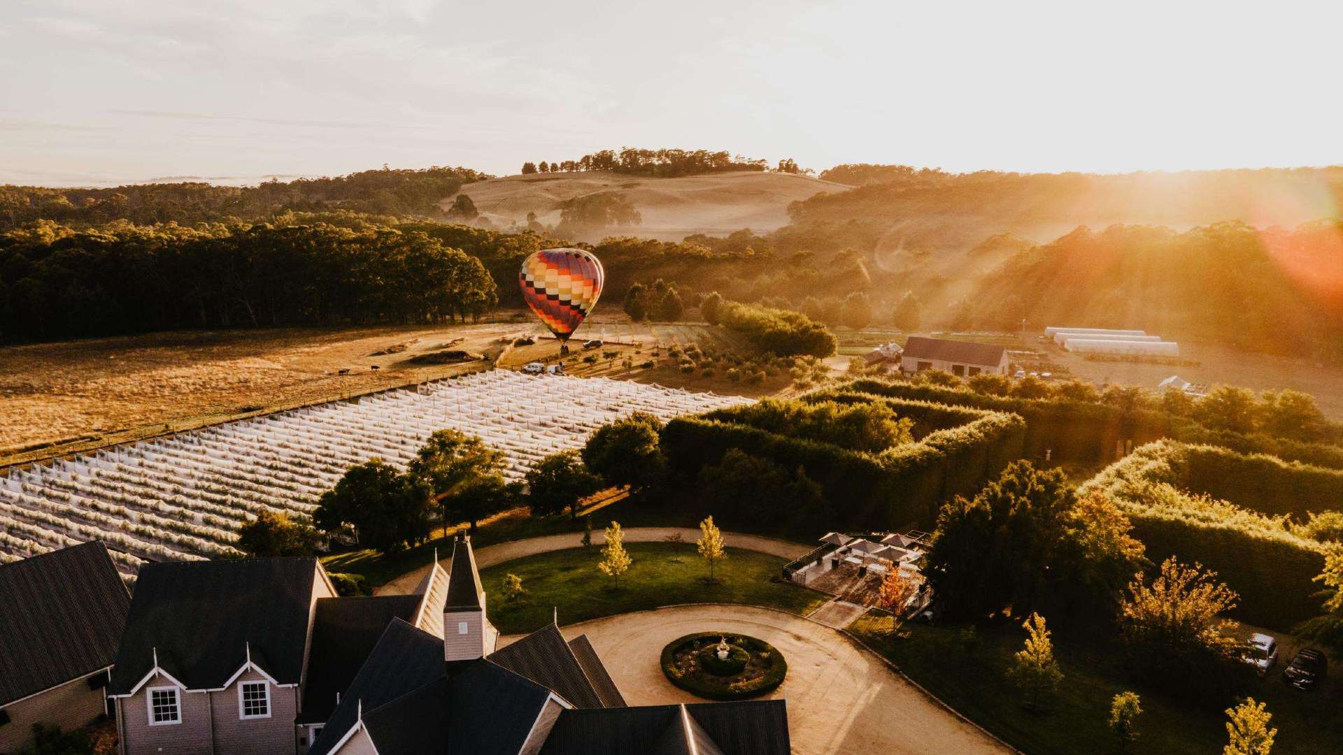 Daylesford & the Macedon Ranges
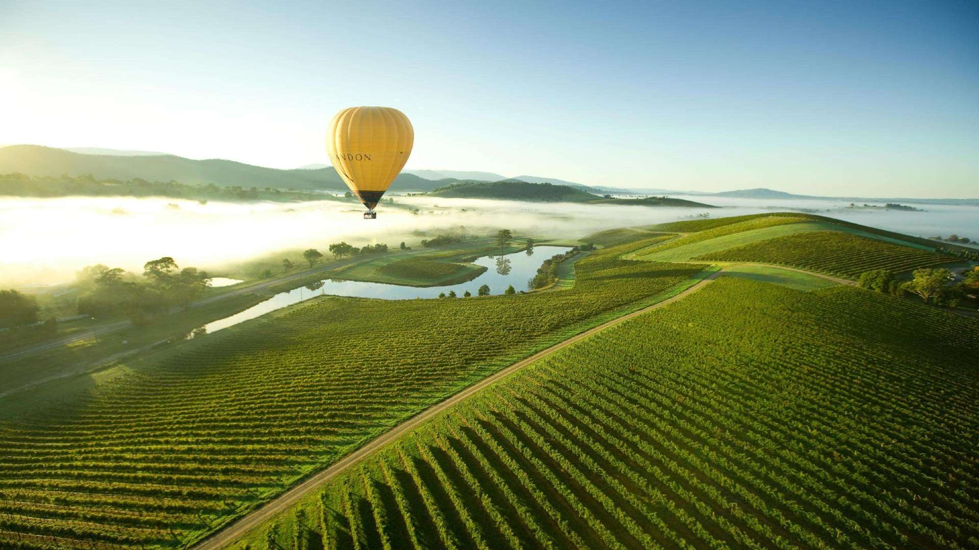 Yarra Valley & Dandenong Ranges
 Gippsland
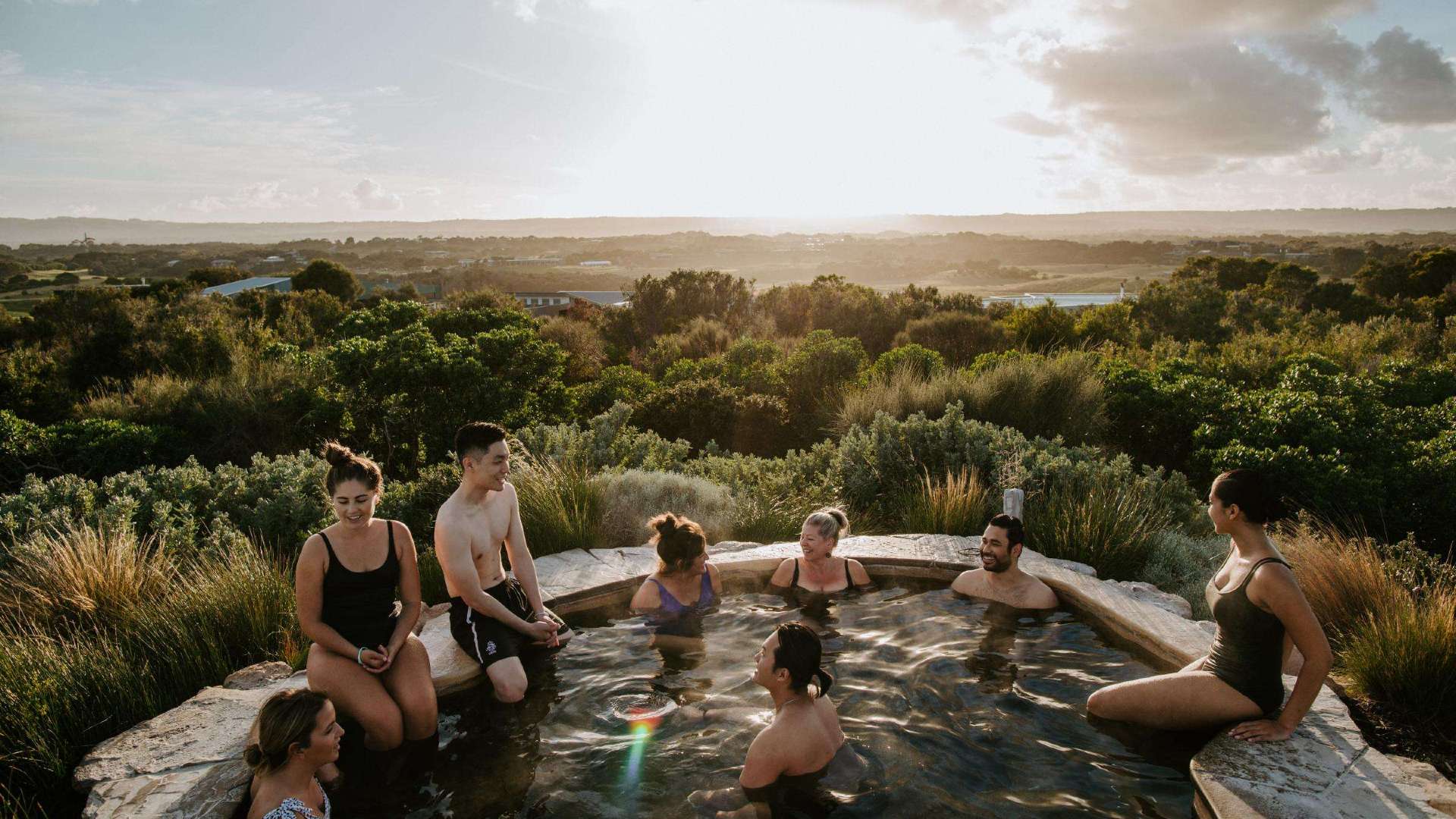 Mornington Peninsula
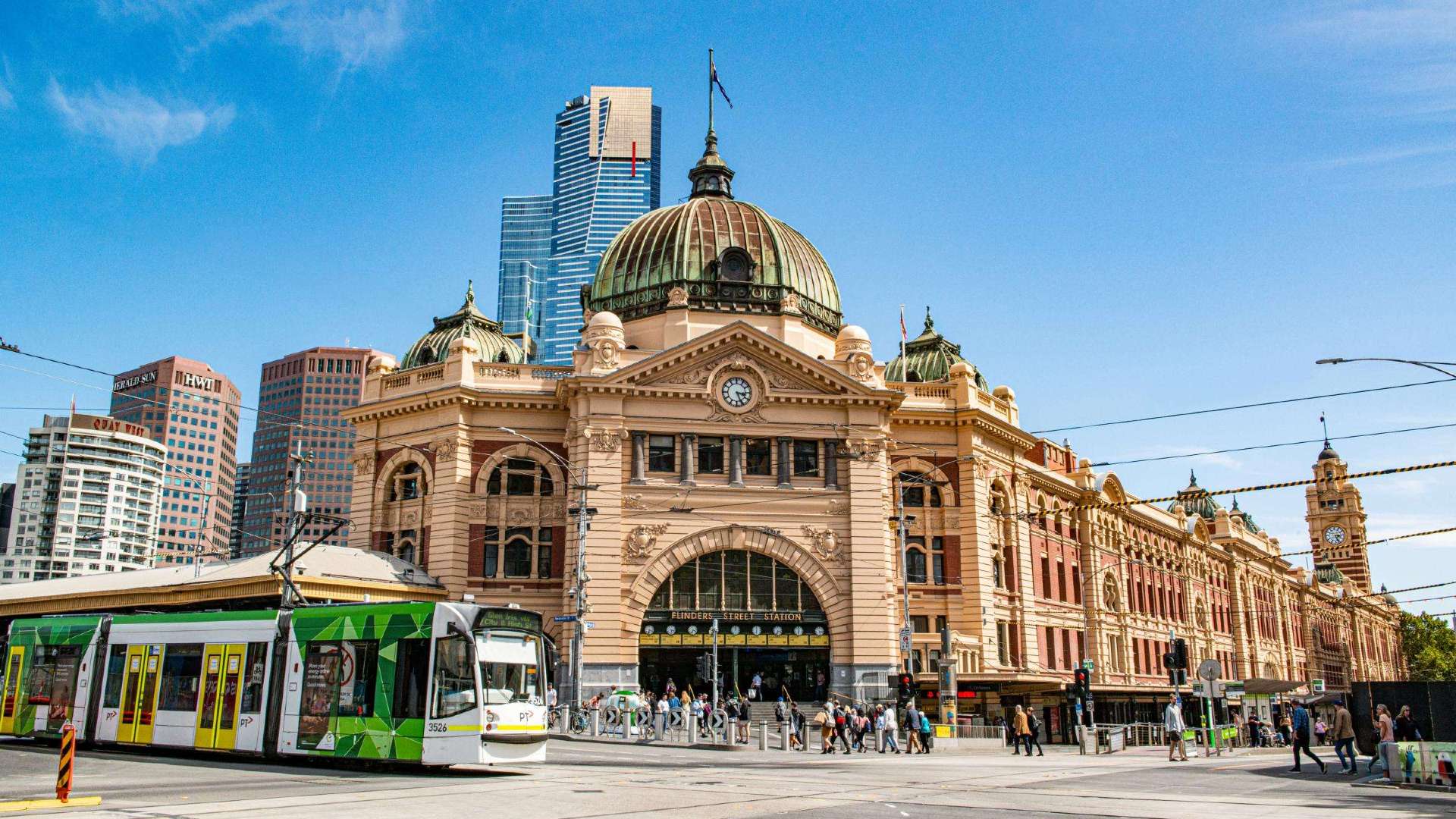 Melbourne
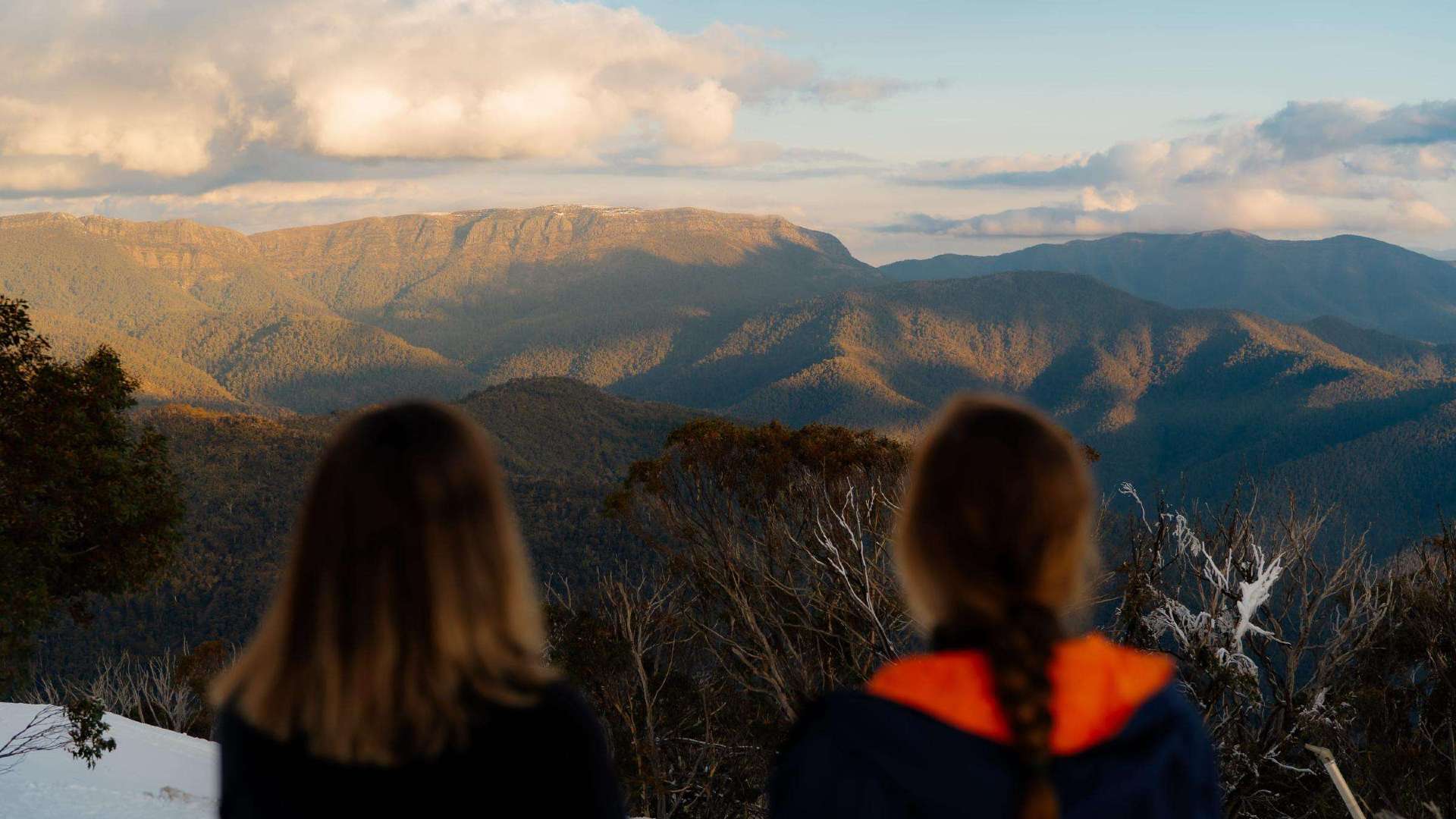 High Country
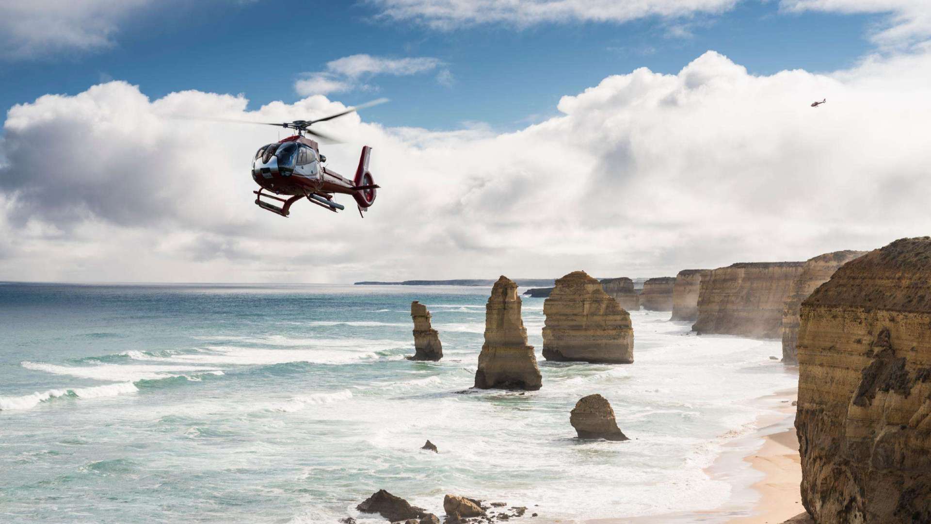 Great Ocean Road

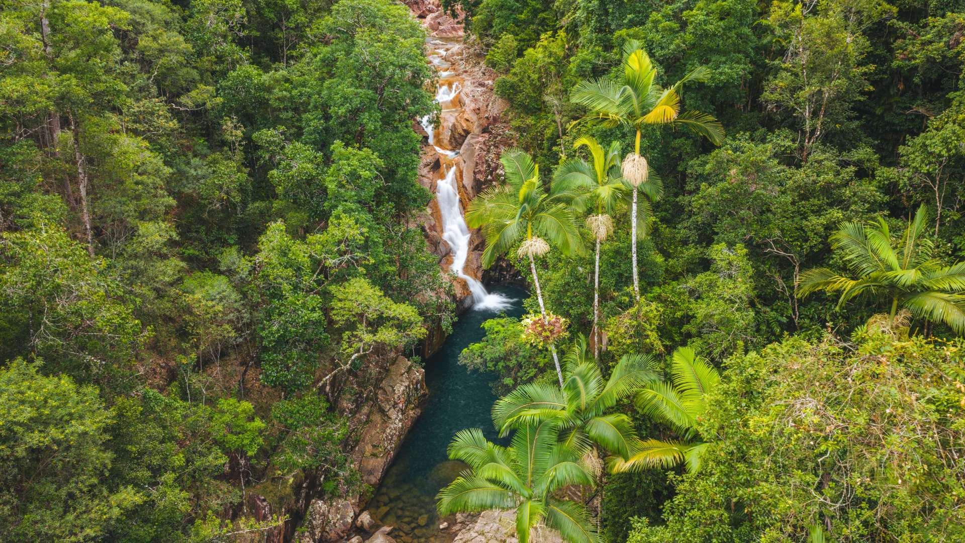
 Sunshine Coast Region
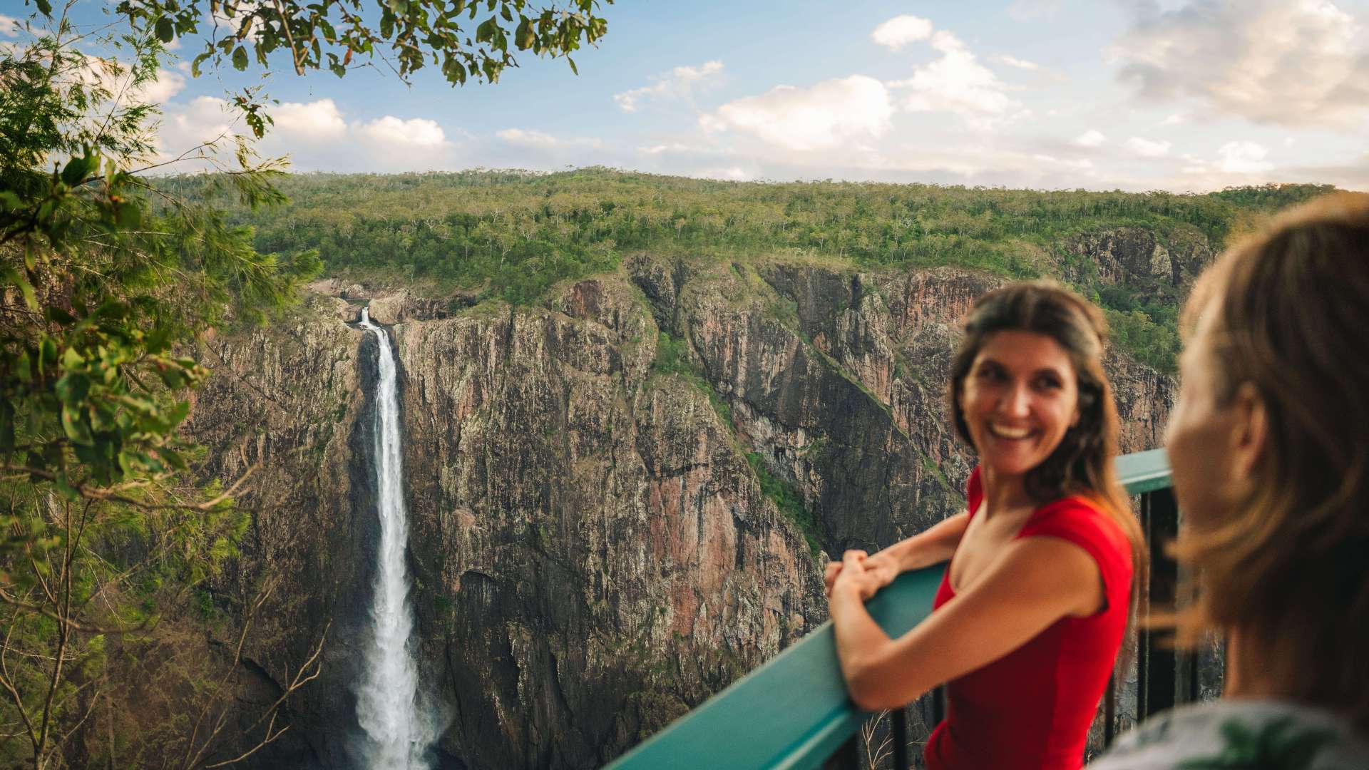
 Mackay Region
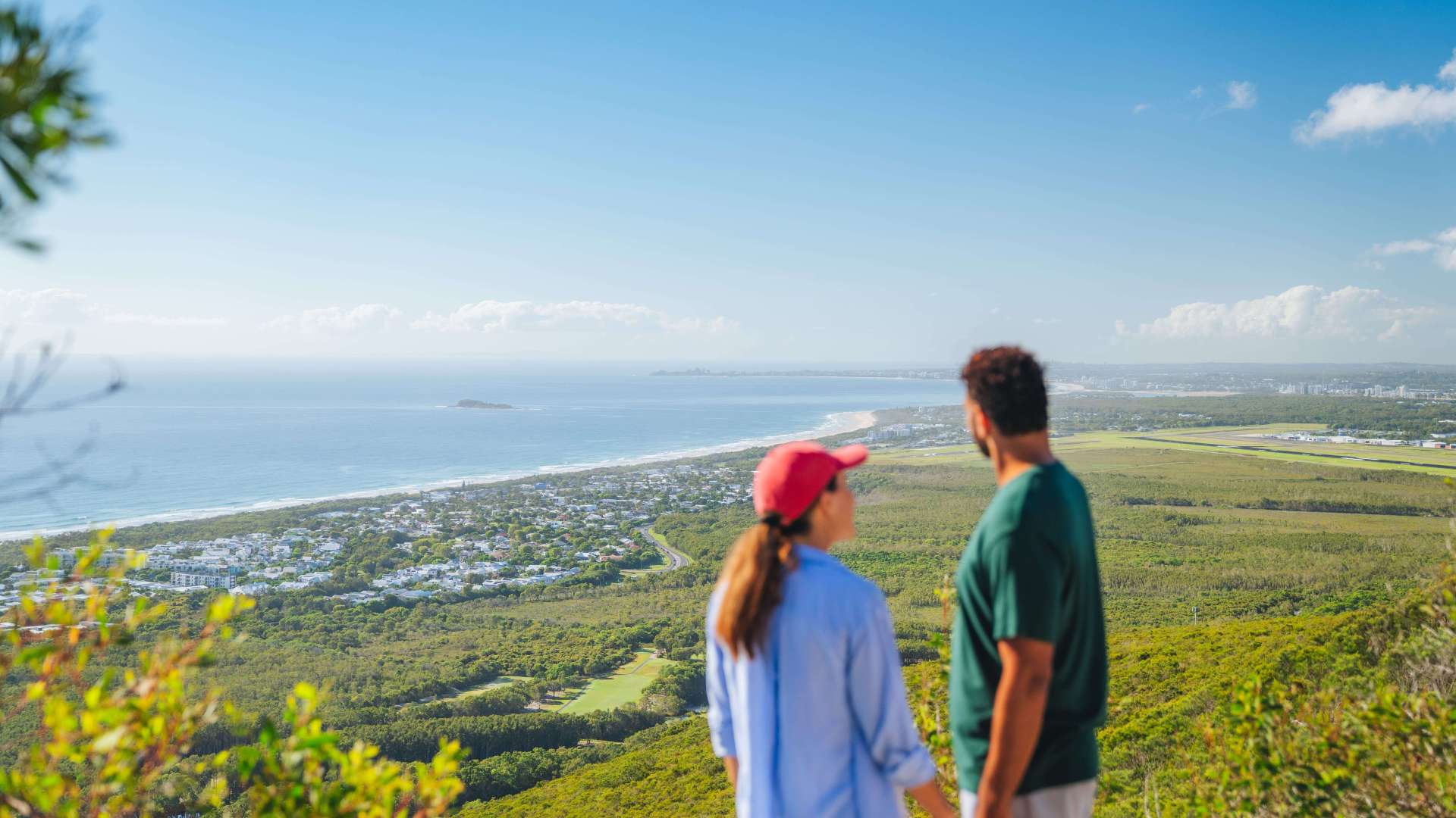
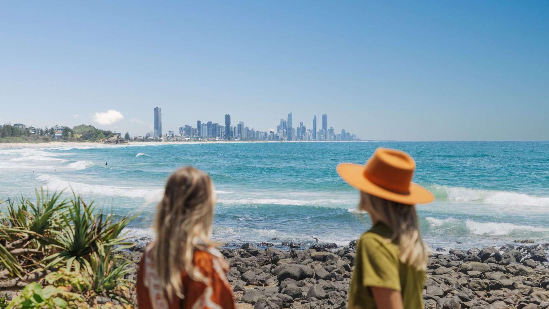 Gold Coast Region
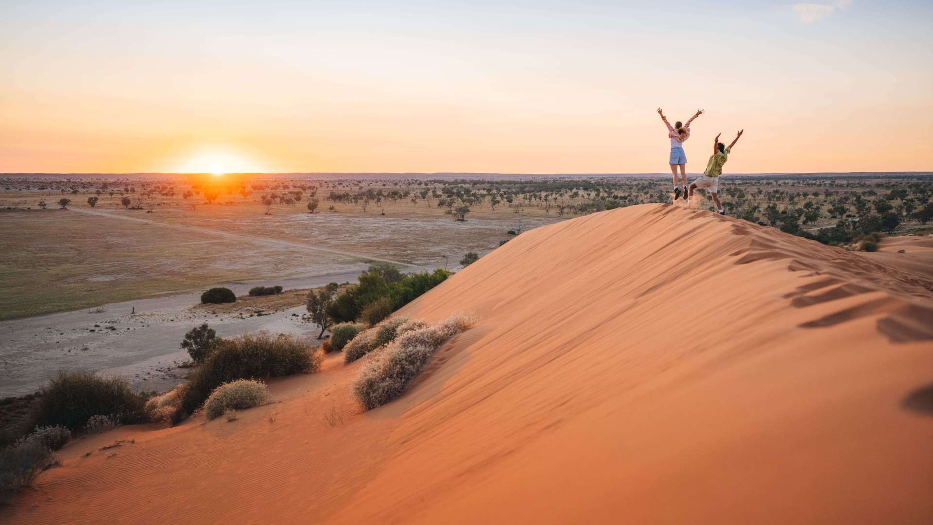 Far West
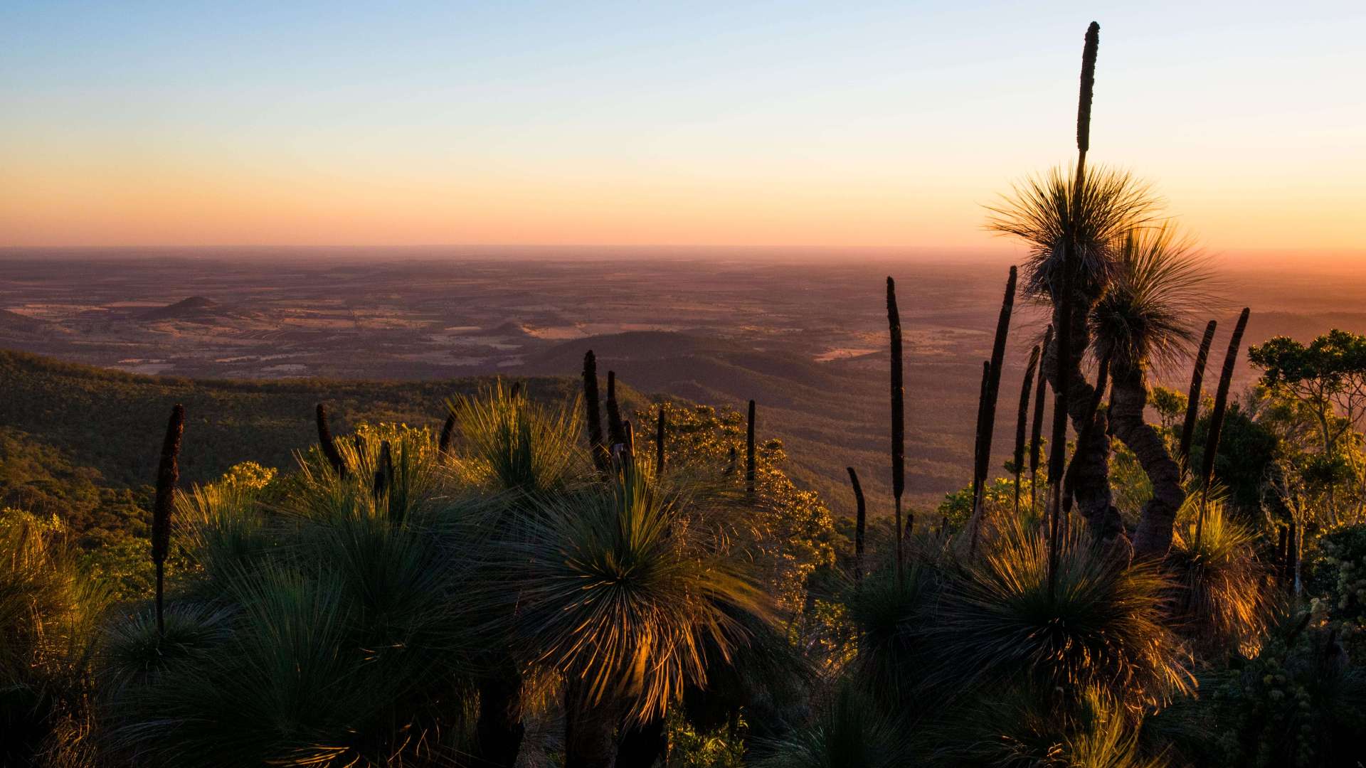 Western Downs Region
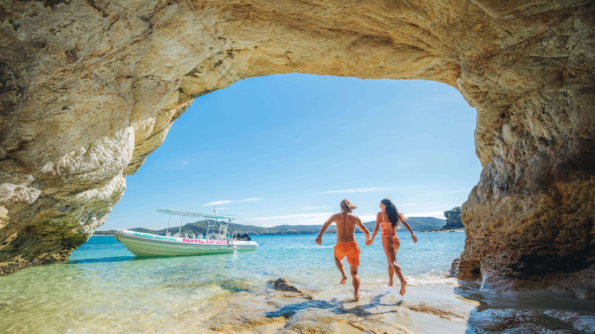 Capricorn Region
 Townsville Region
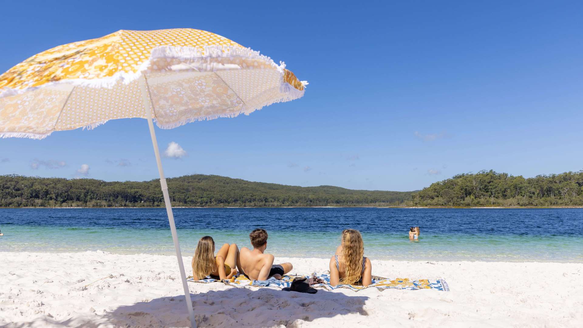 Fraser Coast Region
 Gulf Savannah
 Gladstone Region
 Cocos (Keeling) Islands
 Australia's South West
 Destination Perth
 Australia's Coral Coast
 Australia's North West
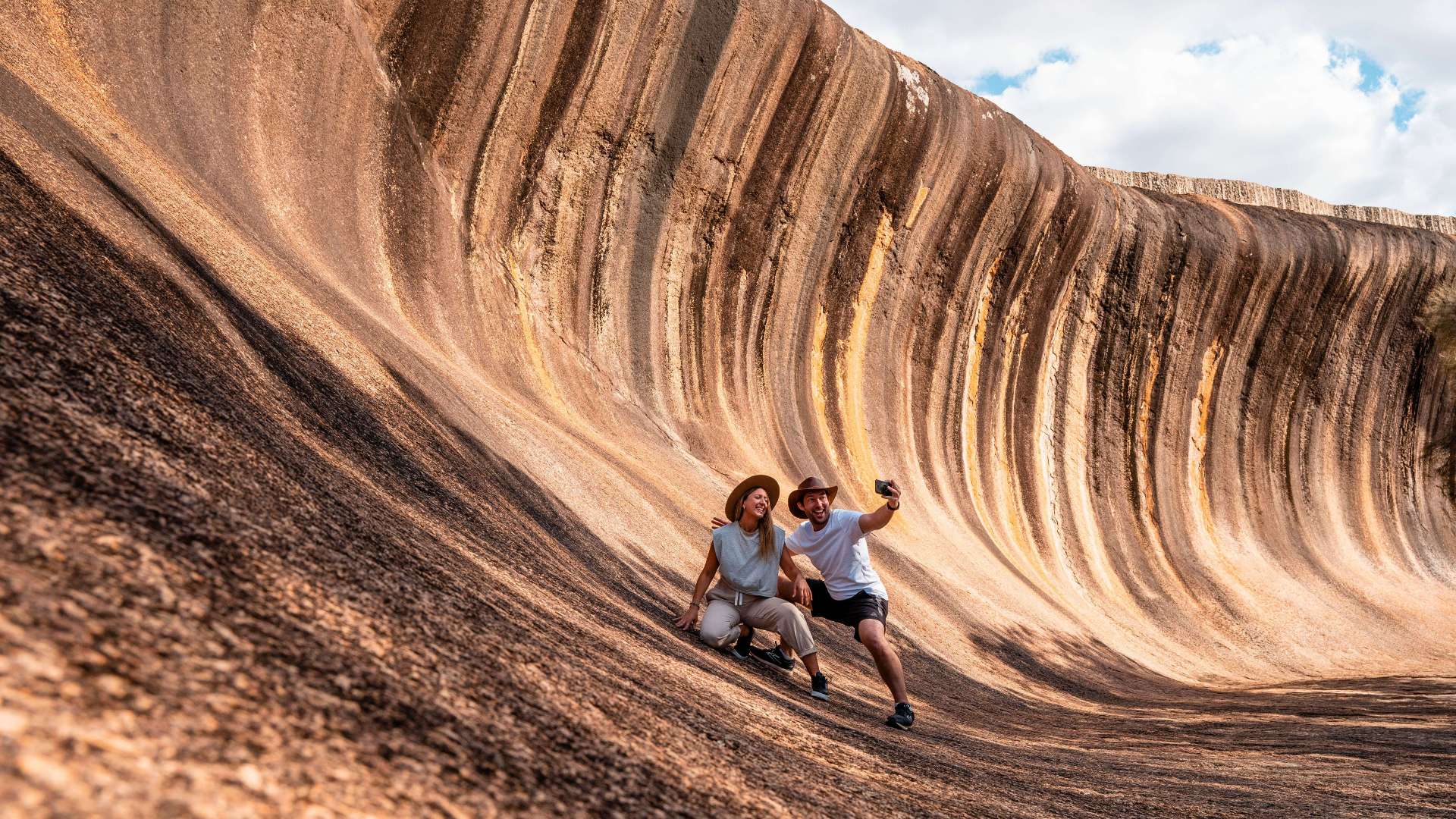 Australia's Golden Outback
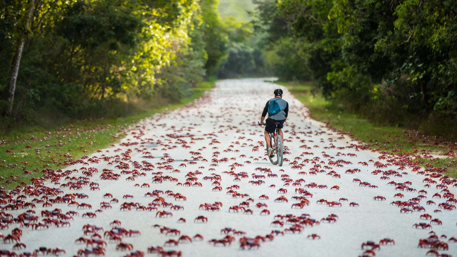 Christmas Island

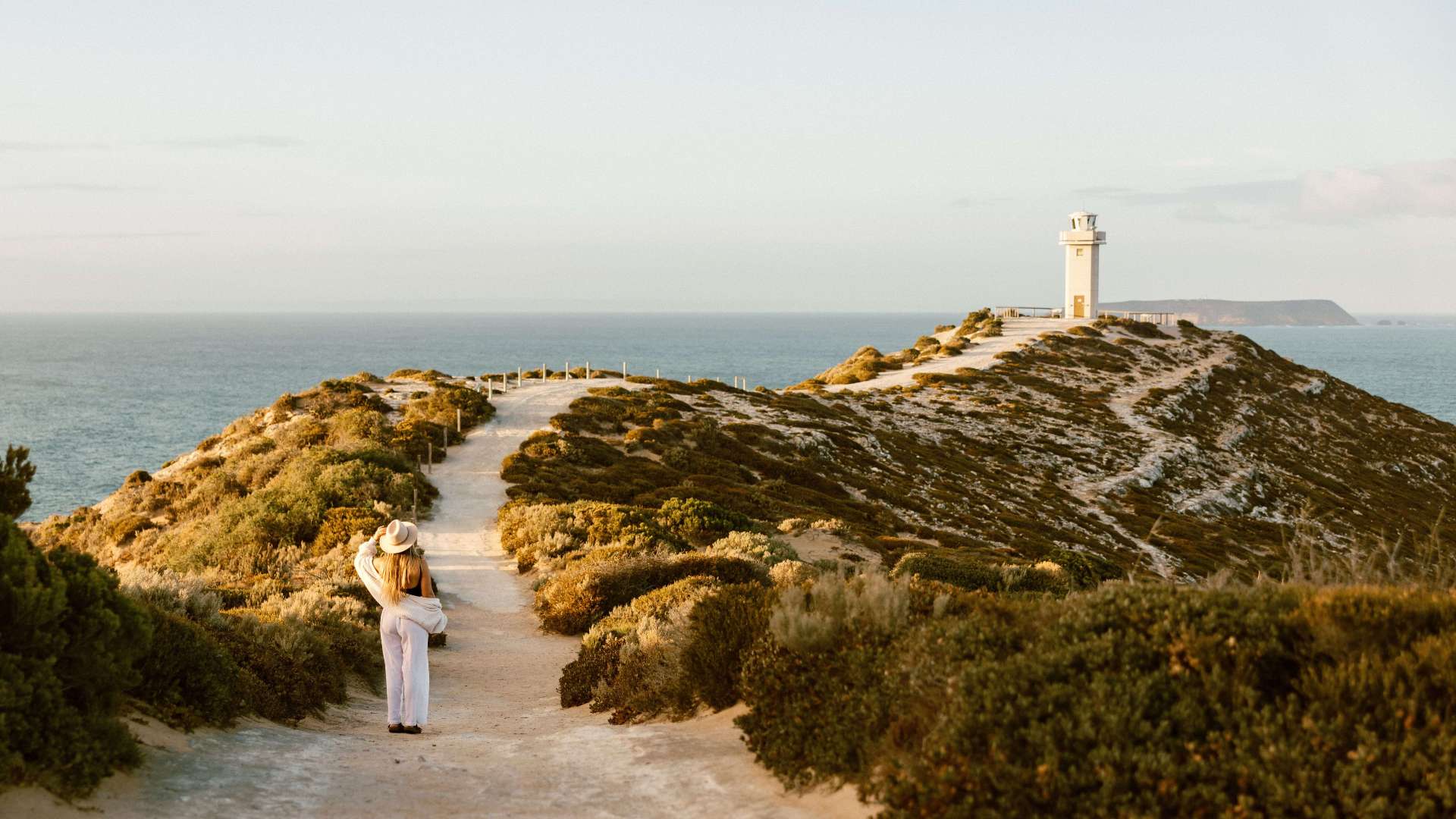
 Limestone Coast
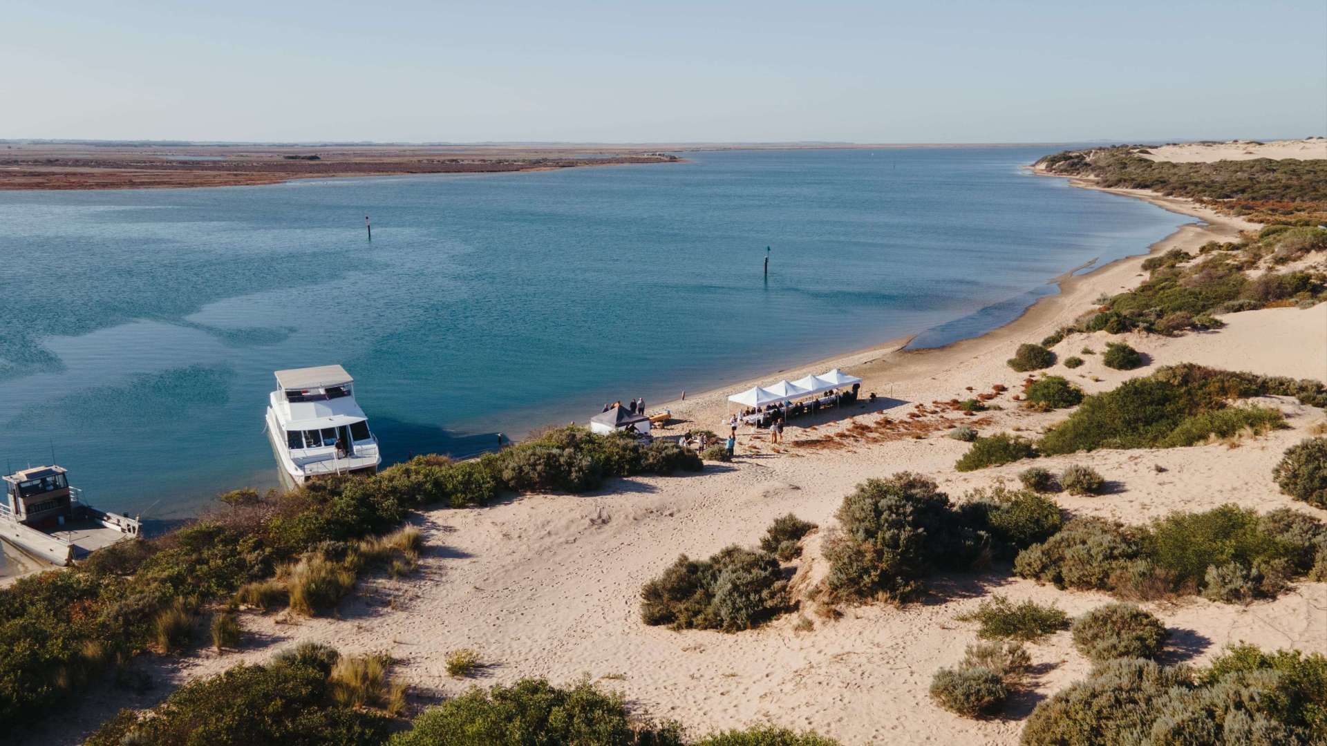 Murray River, Lakes and Coorong
 Yorke Peninsula
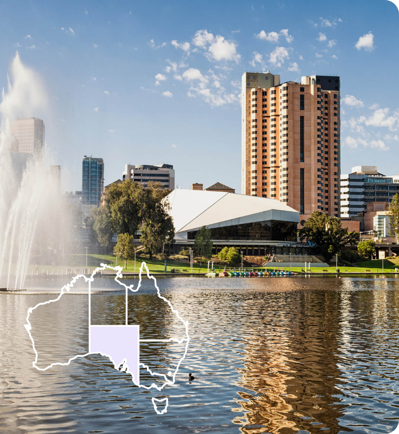
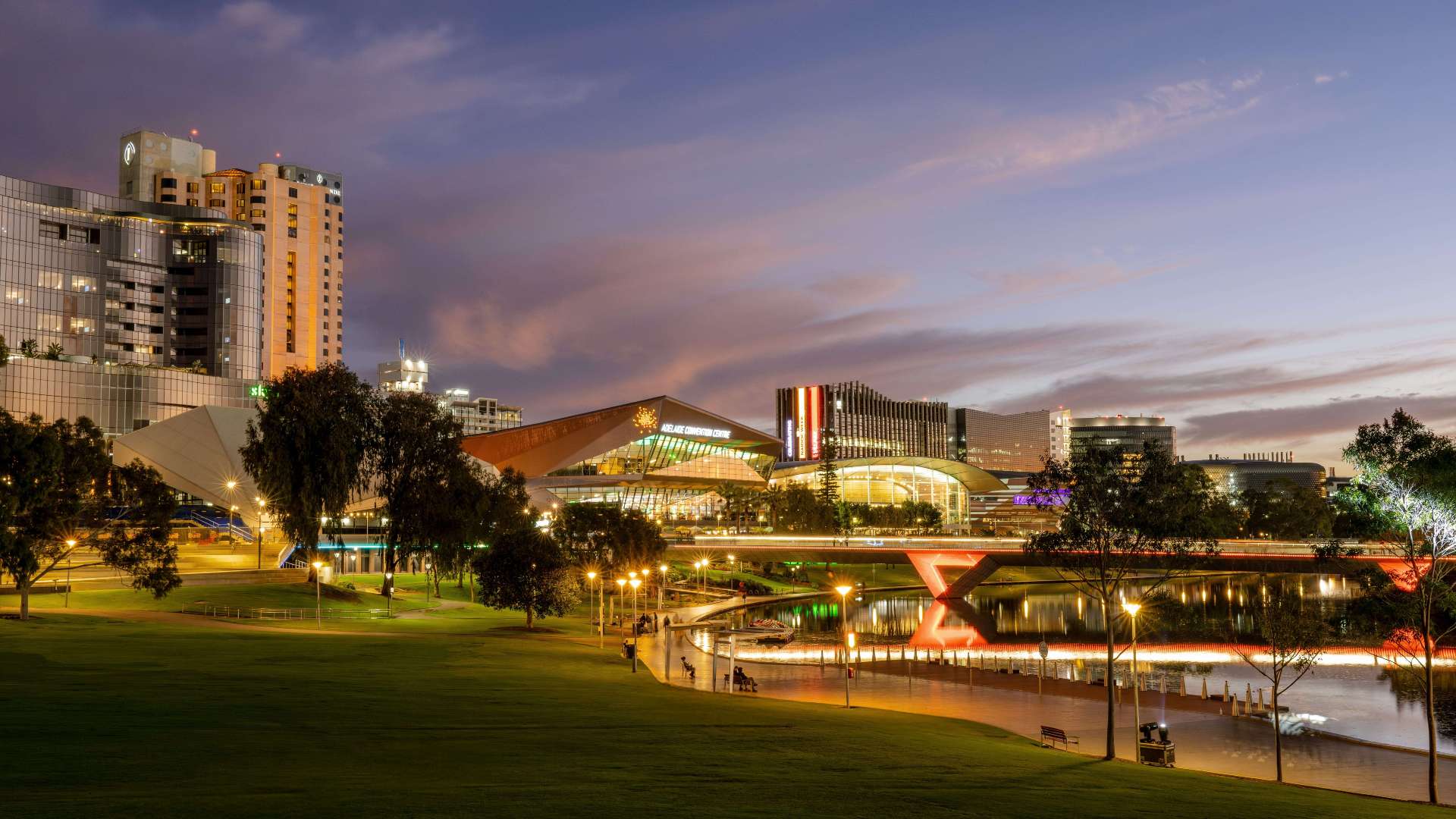 Adelaide
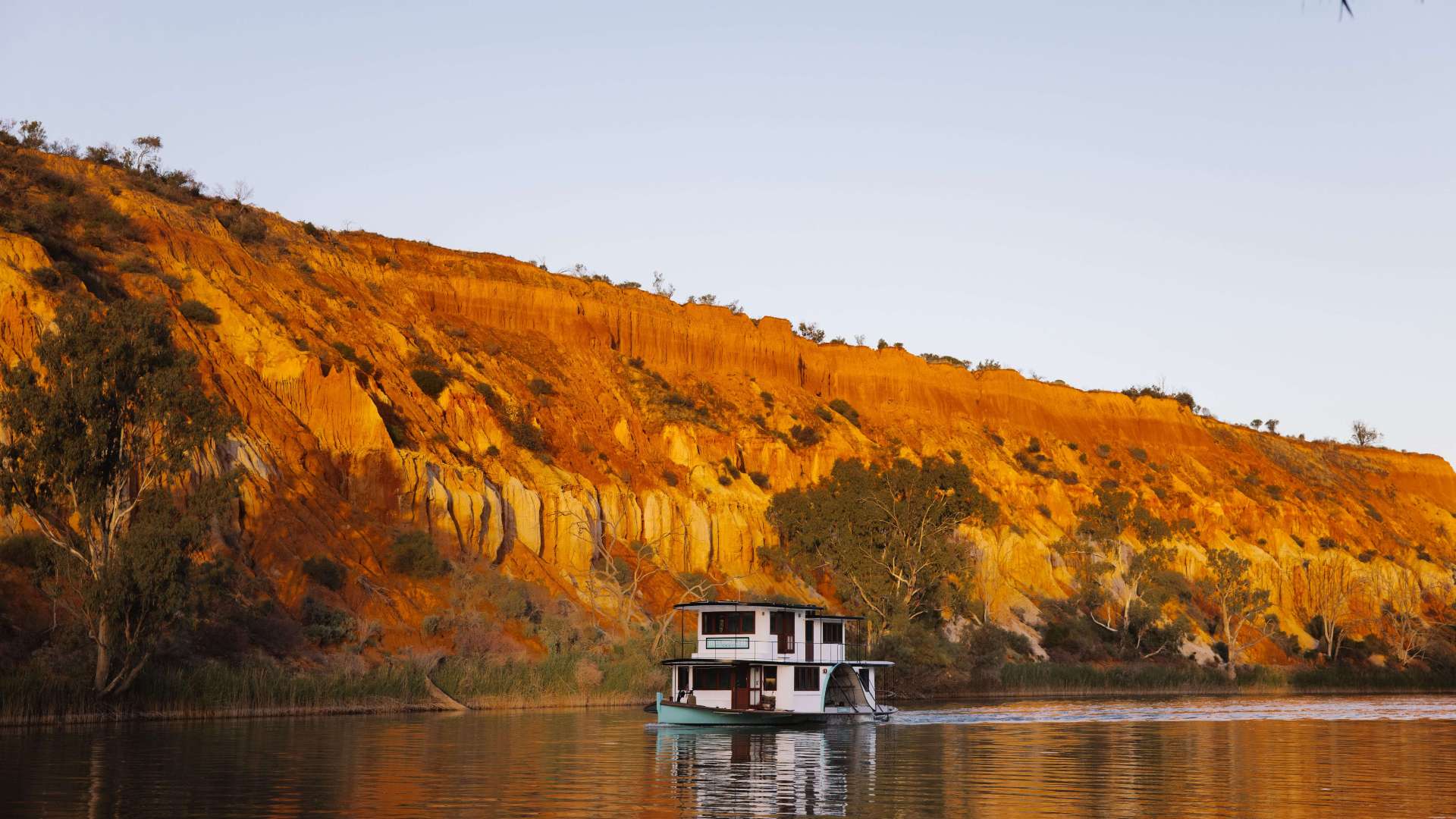 Riverland
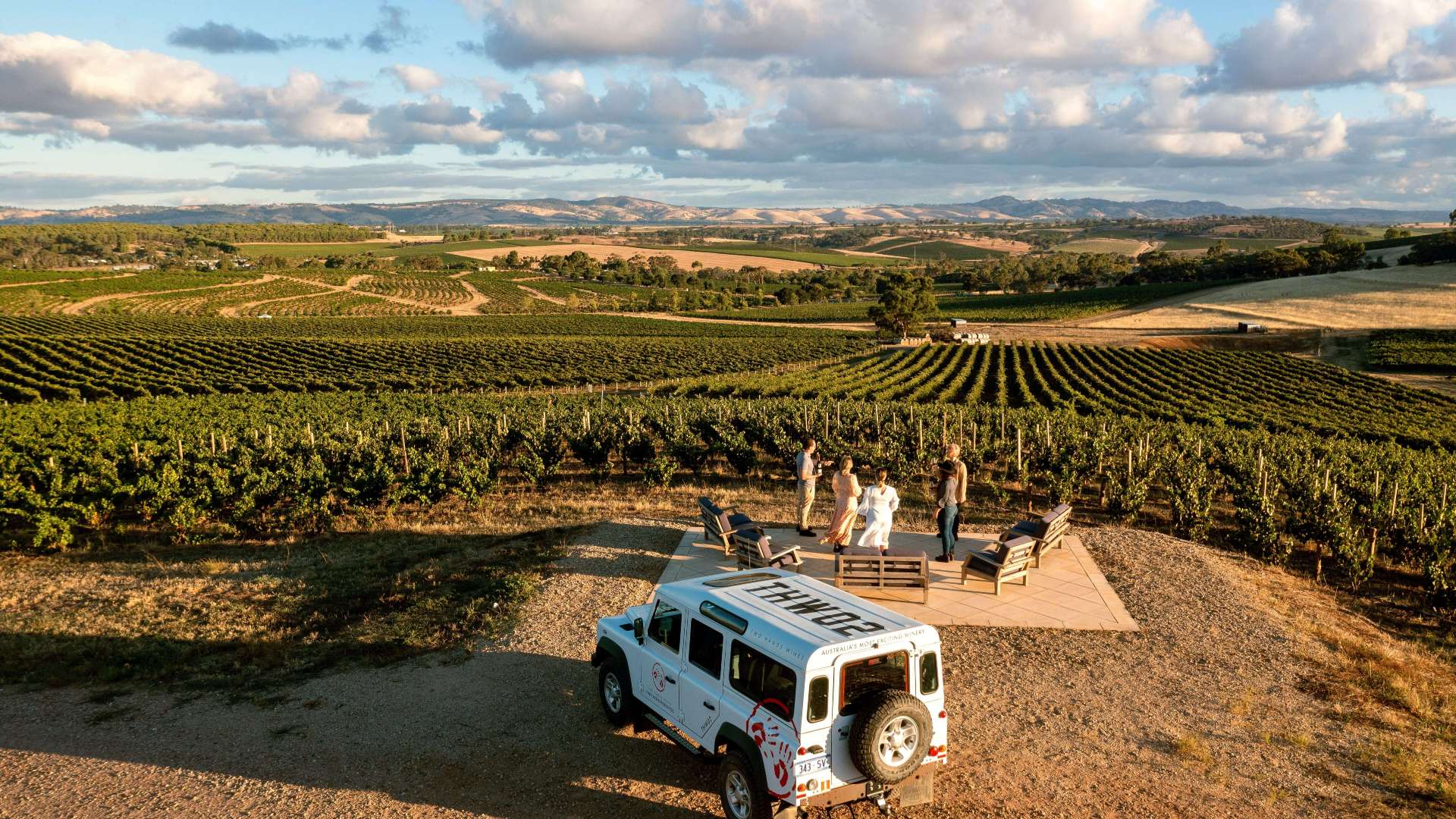 Barossa
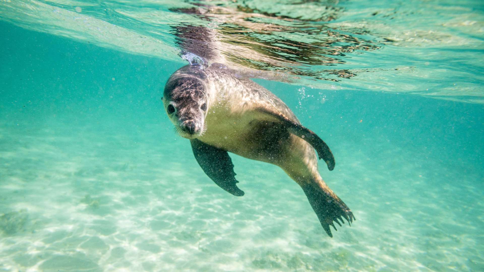
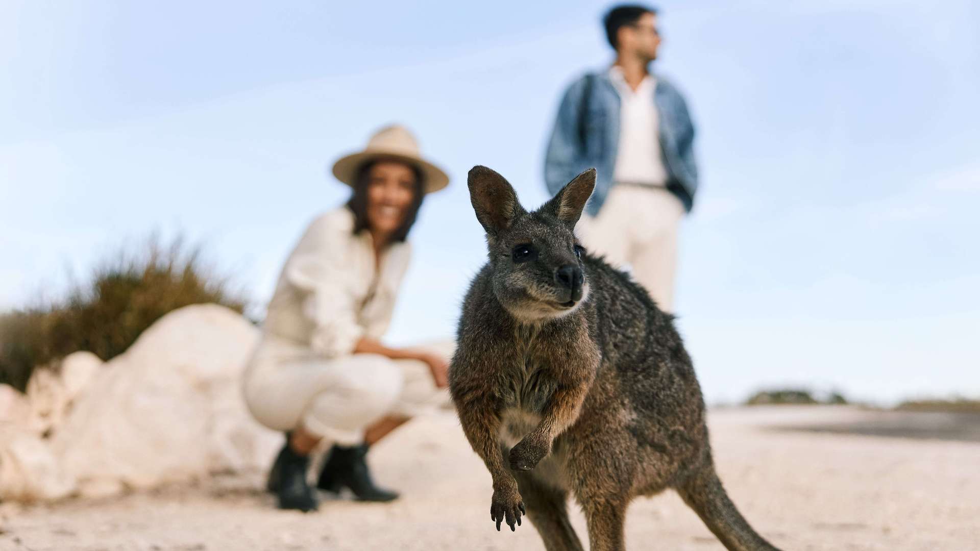 Kangaroo Island
 Adelaide Hills
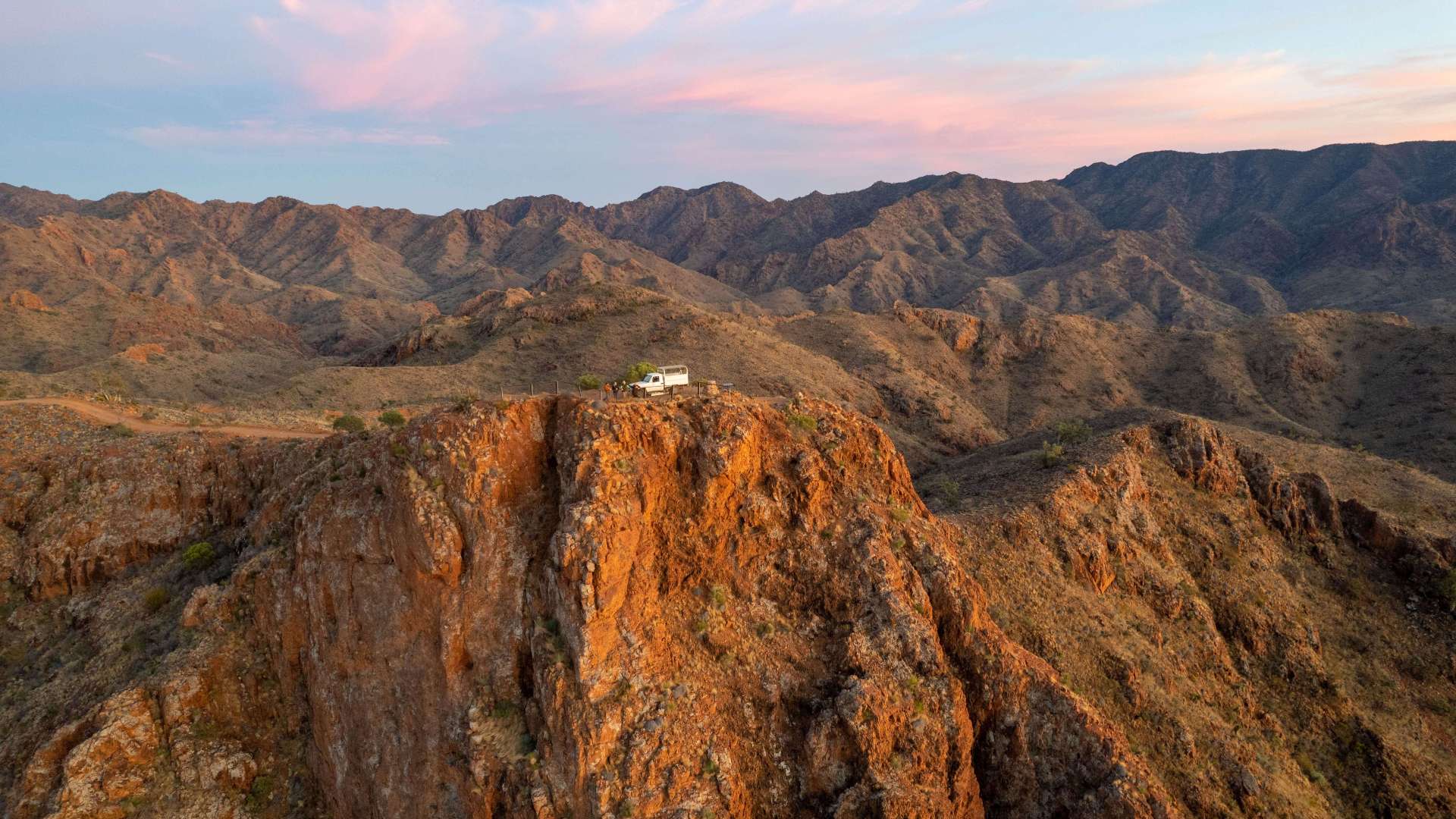 Flinders Ranges and Outback
 Eyre Peninsula
 East Coast
 Hobart and South
 King Island
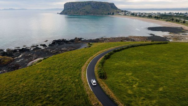 North West
 West Coast
 Launceston and North
 Flinders Island
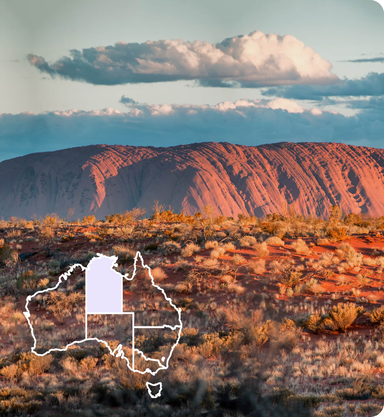
 Uluru/Kata Tjuta Region
 Kakadu
 Alice Springs & Surrounds
 Darwin & Surrounds
 Tennant Creek & Barkly Region
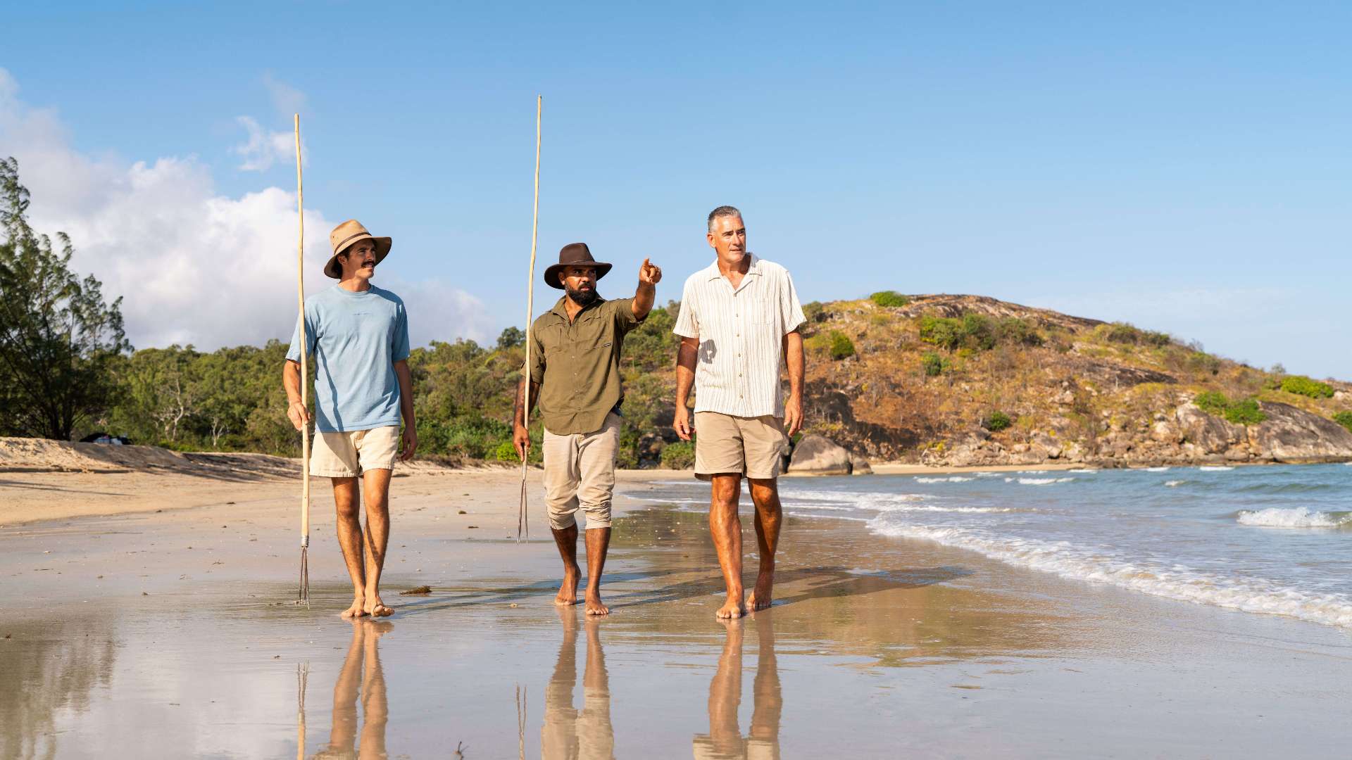 Arnhem Land
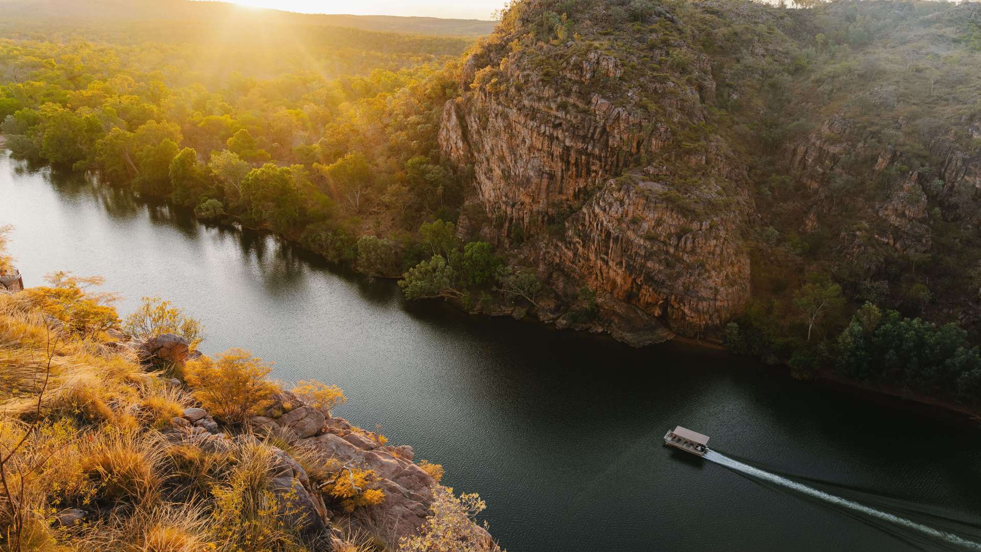 Katherine & Surrounds
 Canberra Region


 Join Now
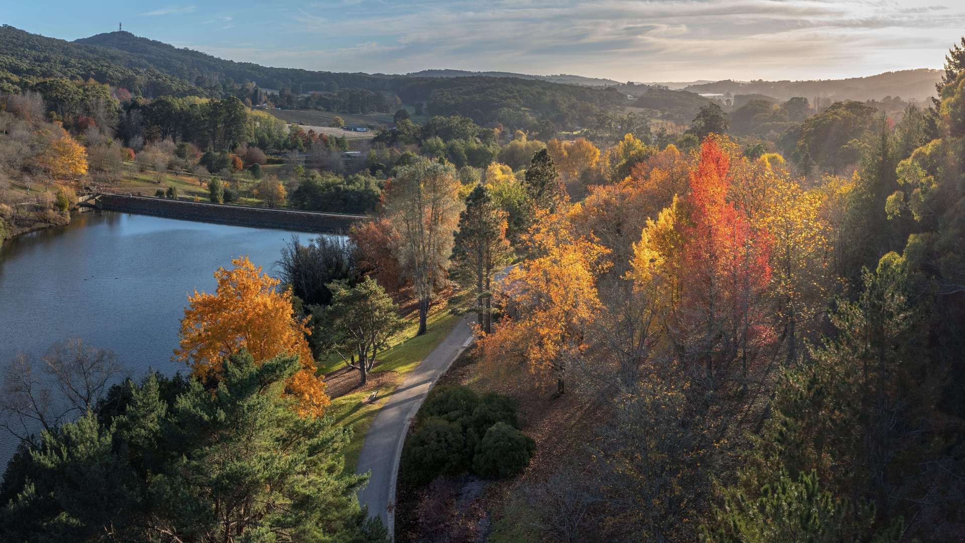
 Devilbend Reservoir Walking Tracks
Devilbend Reservoir Walking Tracks
170 Graydens Road, Moorooduc, Victoria, Australia, 3933
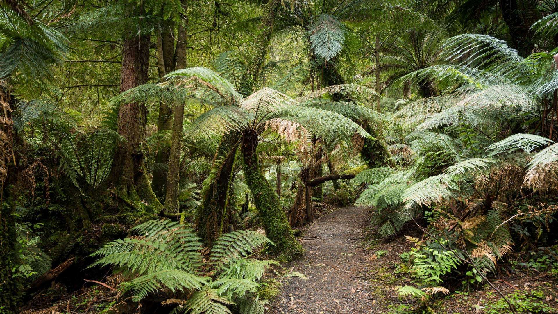
A haven for waterbirds and walkers, Devilbend Reserve comprises 422 hectares of native vegetation along with almost 250 hectares of water surface area. Devilbend can be explored by selected walking tracks. The trail system includes all‐ability access to the shoreline, viewing/fishing platforms and boardwalk. Dogs and other pets are not permitted.
The main walks are Western Shoreline Track - 1.2km - Descend from the Devilbend Picnic Area along the 2.5m wide shoreline trail on a compacted surface that takes in views across the expansive reservoir whilst making your way down to the fishing platforms and boardwalks.
Daangean Point Track - 1.5km return - This bushwalk runs through lowland forest from Daangean Point to the southern shoreline. The walk provides expansive views across the reservoir where waterbirds can be viewed.
For the more adventurous walker, the Devilbend Circuit Track – 11.5km, circumnavigates Devilbend Reservoir. The trail meanders through lowland forest and grassy woodland with multiple access points to the tranquil
waterbody providing birdwatching and passive recreation. A further 2.5km extension to include Bittern Reservoir Circuit is available.
Parking and facilities available at the Devilbend carpark off Graydens Road.
Address
170 Graydens Road, Moorooduc, Victoria, Australia, 3933
You might also like...
 Central Highlands Area, Queensland
1 / 1

Starting Planning your next thing With Us
Your next big adventure awaits, and Things to Do is here to help make that run smoothly! Join today and take advantage of our easy to use features.
Join Now