
 Norfolk Island
 South Coast
 Outback NSW
 Snowy Mountains
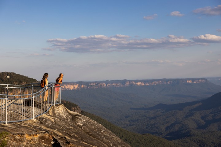 Blue Mountains
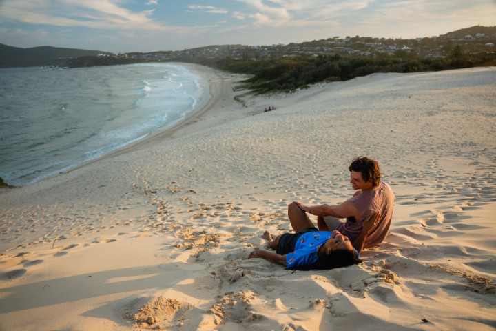 North Coast
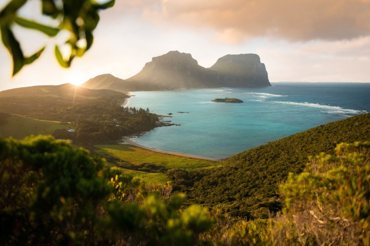 Lord Howe Island
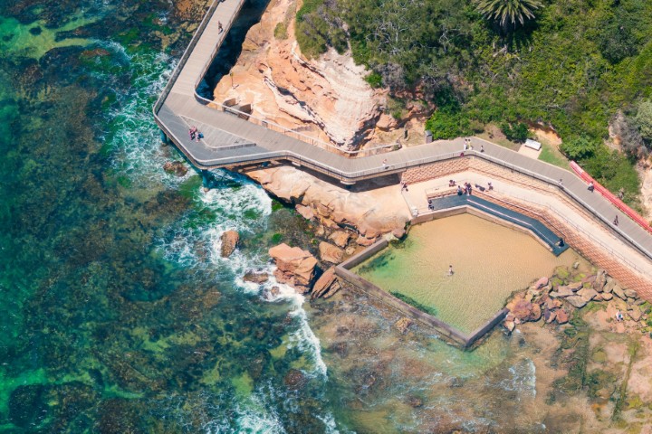 Central Coast
 Greater Sydney
 Country NSW

 Geelong & the Bellarine
 The Murray
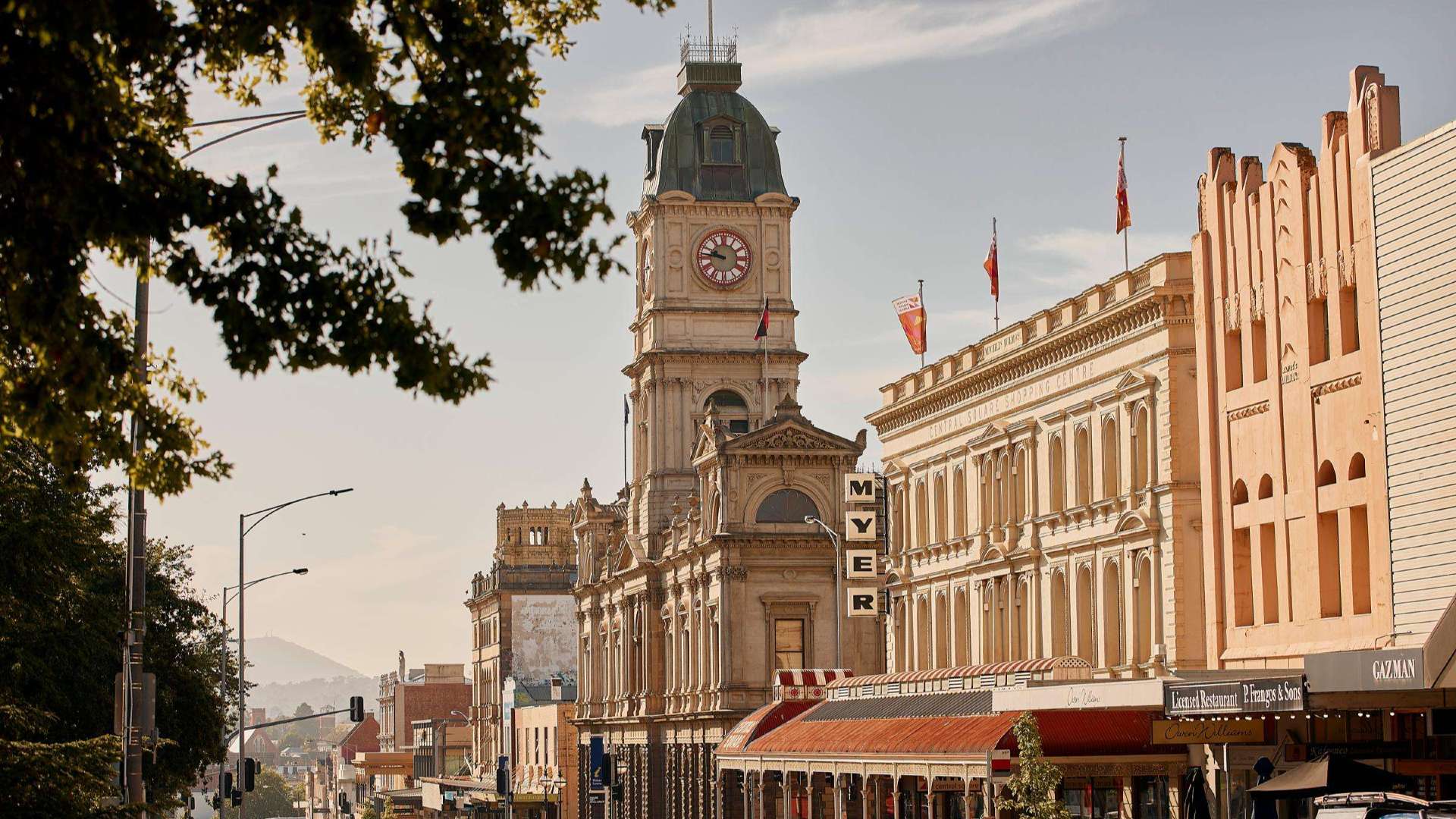 Goldfields
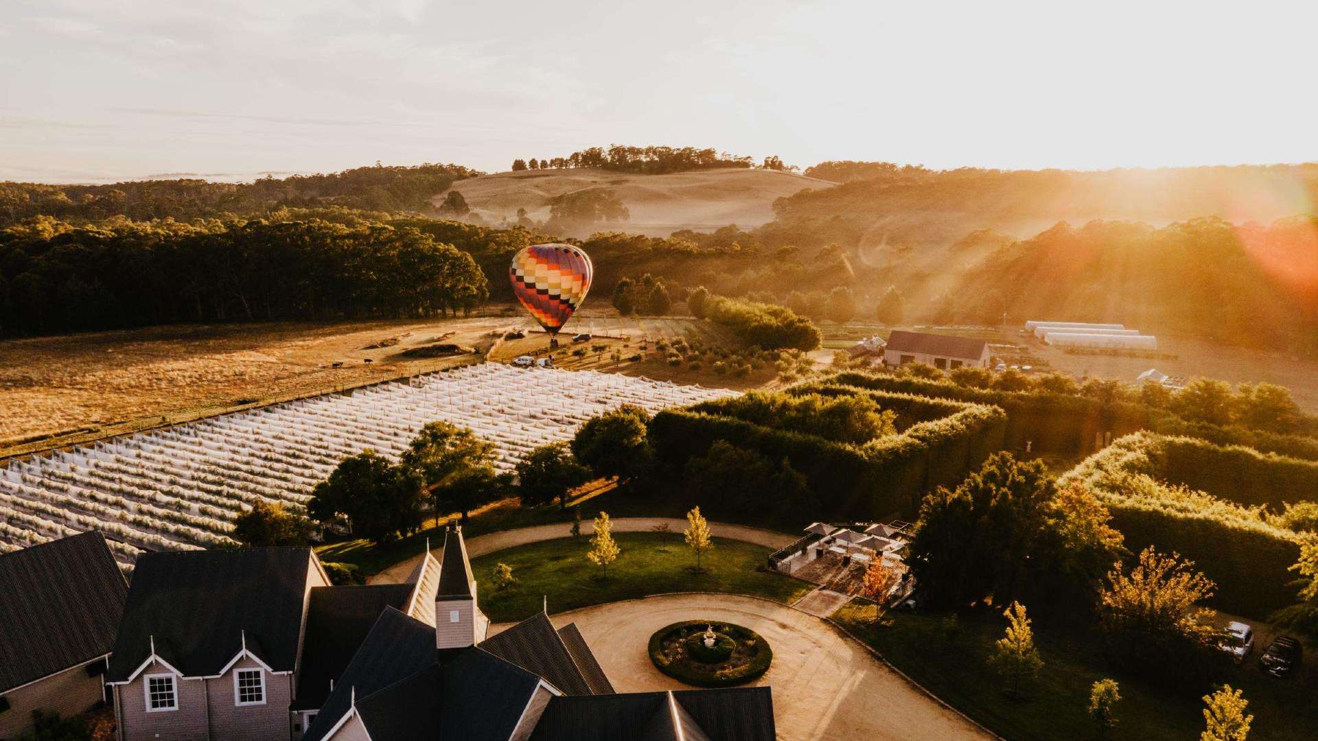 Daylesford & the Macedon Ranges
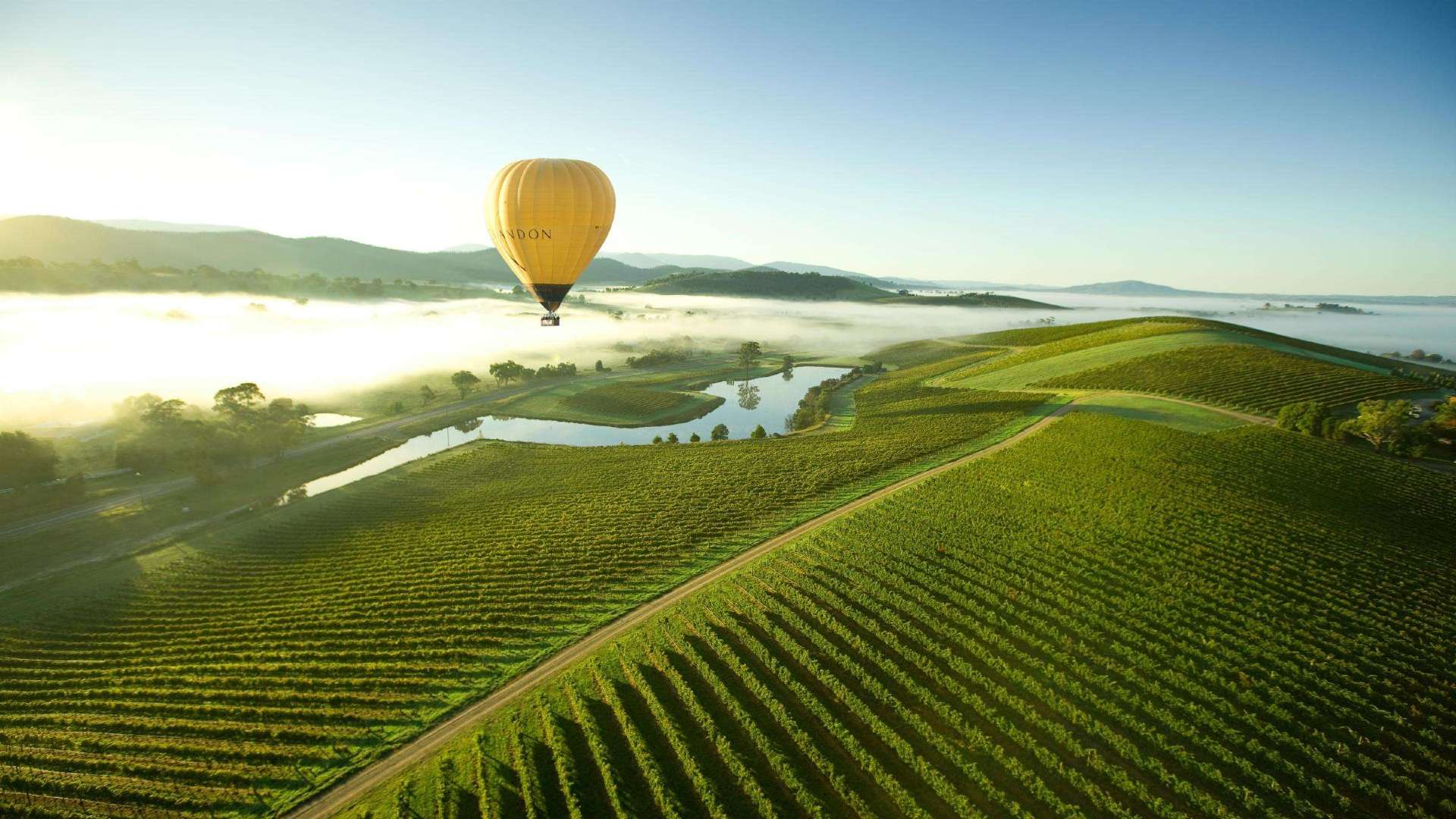 Yarra Valley & Dandenong Ranges
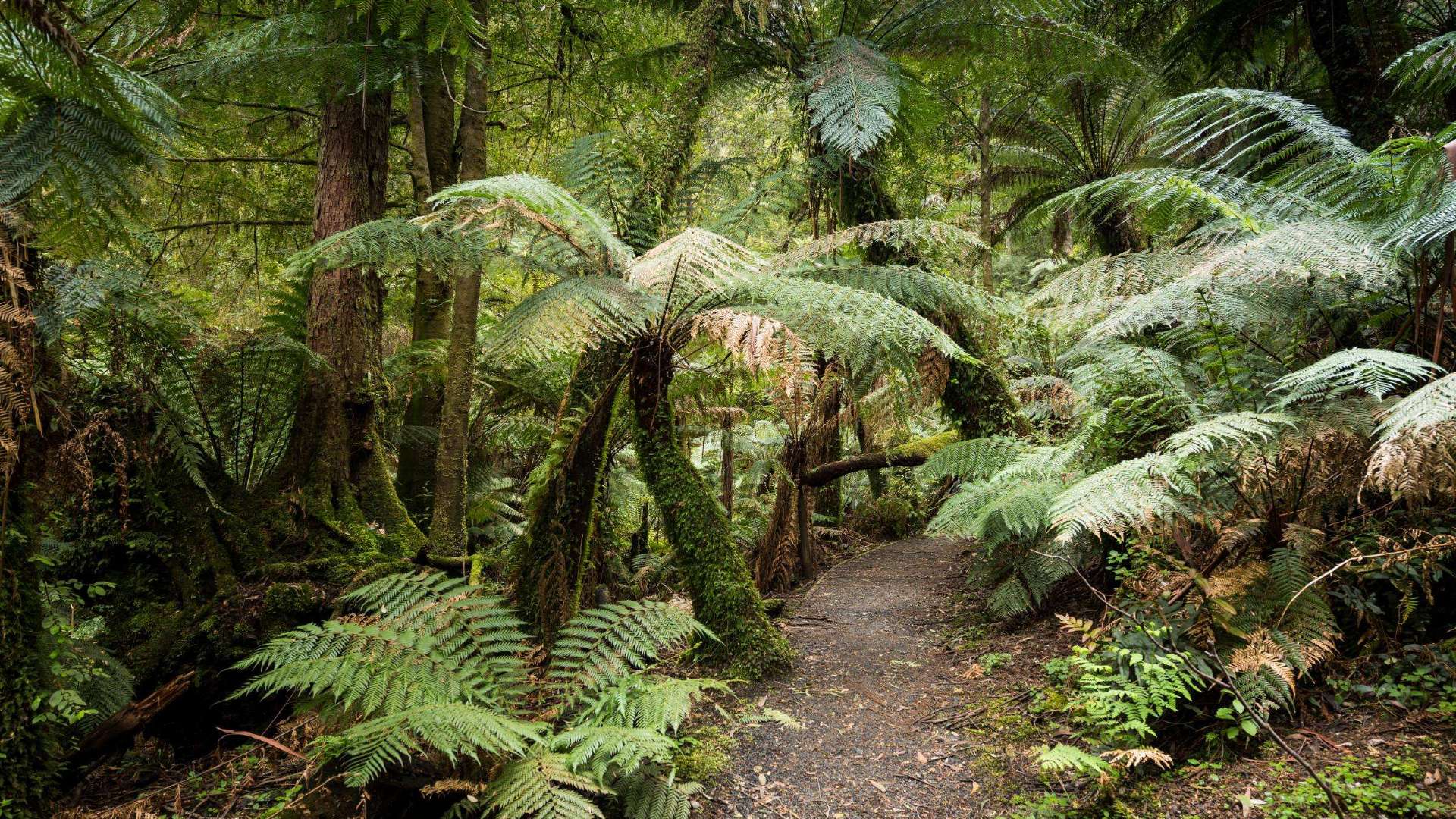 Gippsland
 Mornington Peninsula
 Melbourne
 High Country
 Great Ocean Road
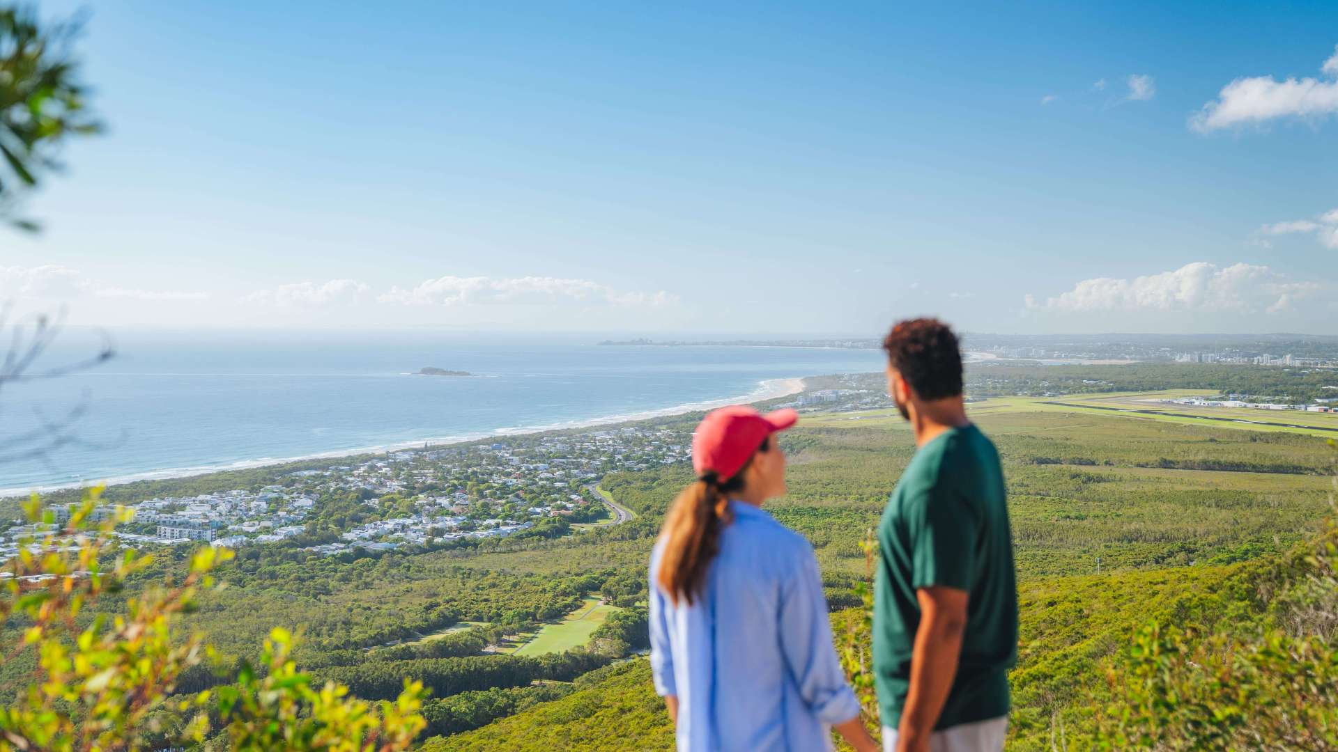 Sunshine Coast Region
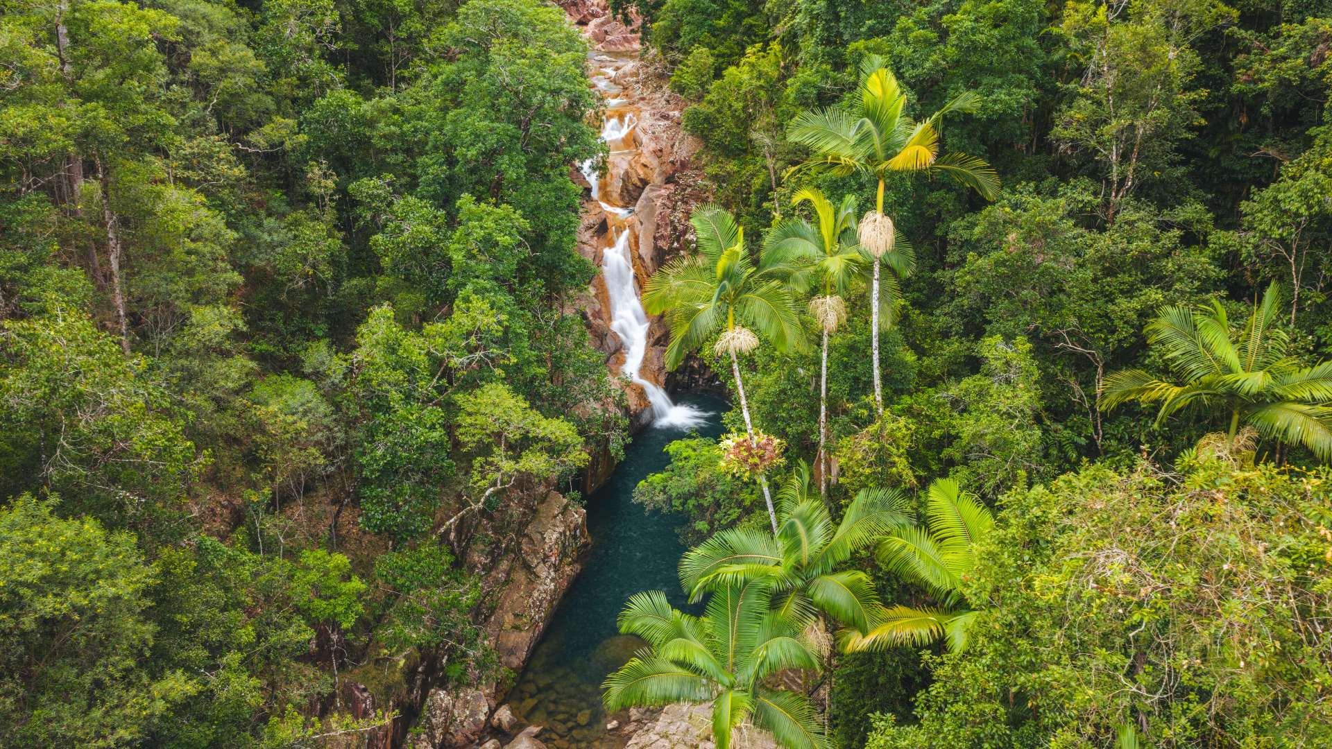 Mackay Region
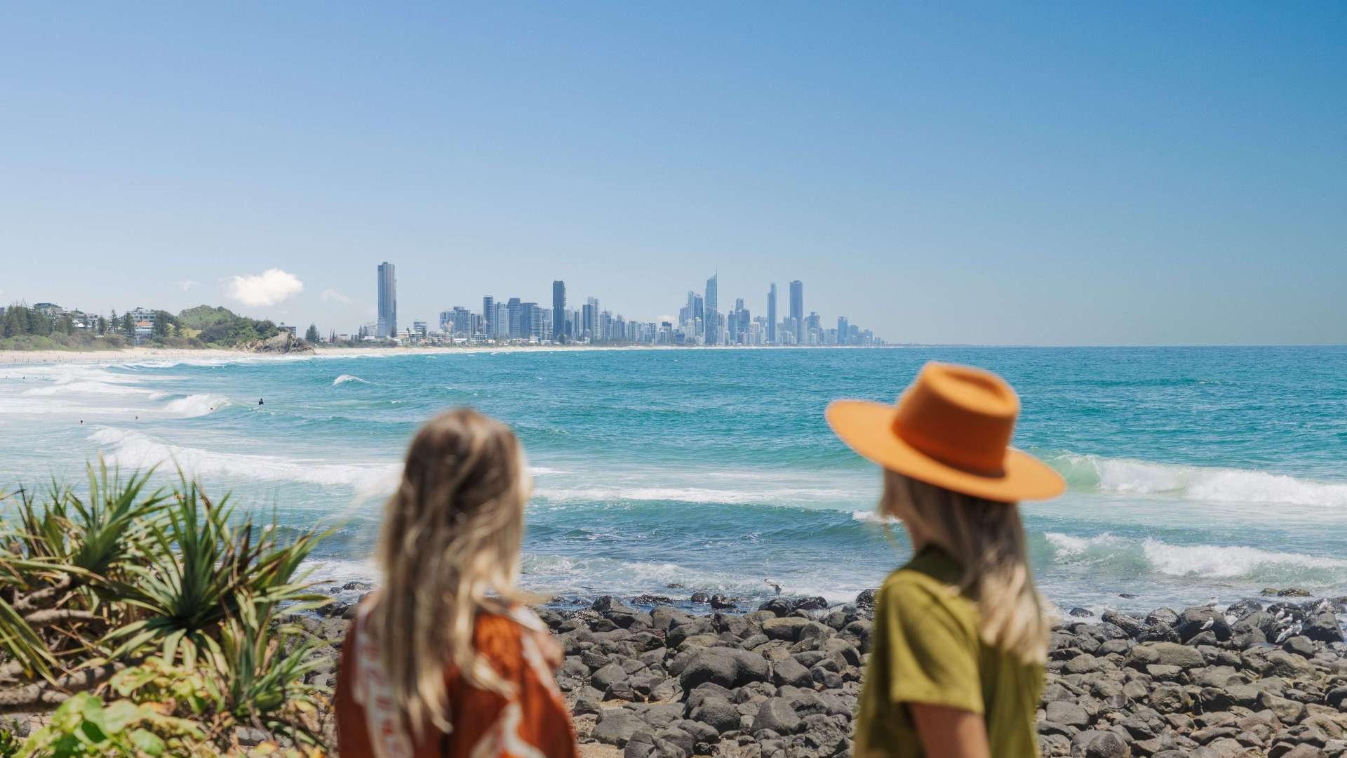 Gold Coast Region
 Far West
 Western Downs Region
 Capricorn Region
 Townsville Region
 Fraser Coast Region
 Gulf Savannah
 Gladstone Region
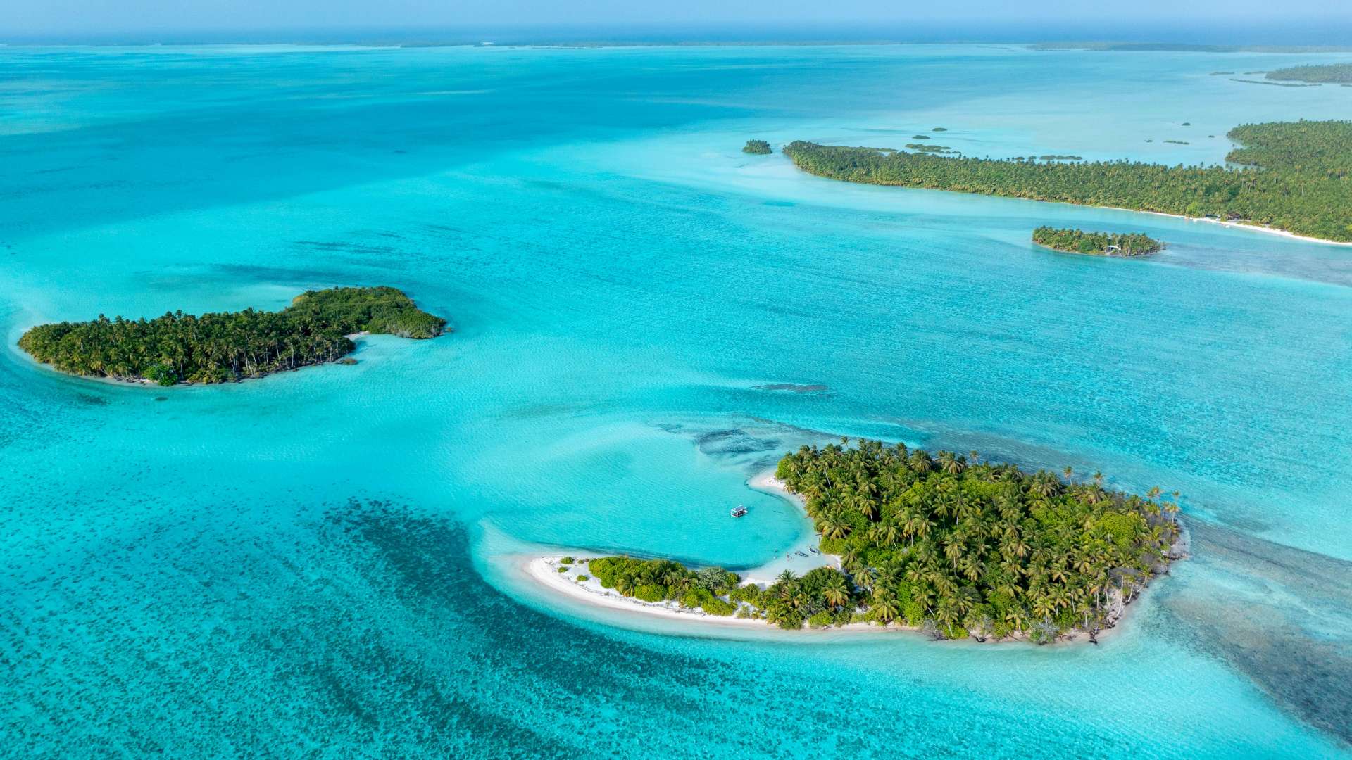 Cocos (Keeling) Islands
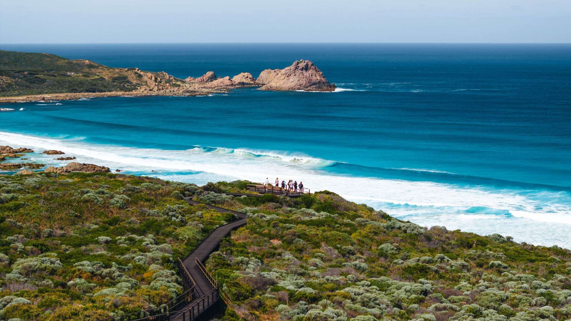 Australia's South West
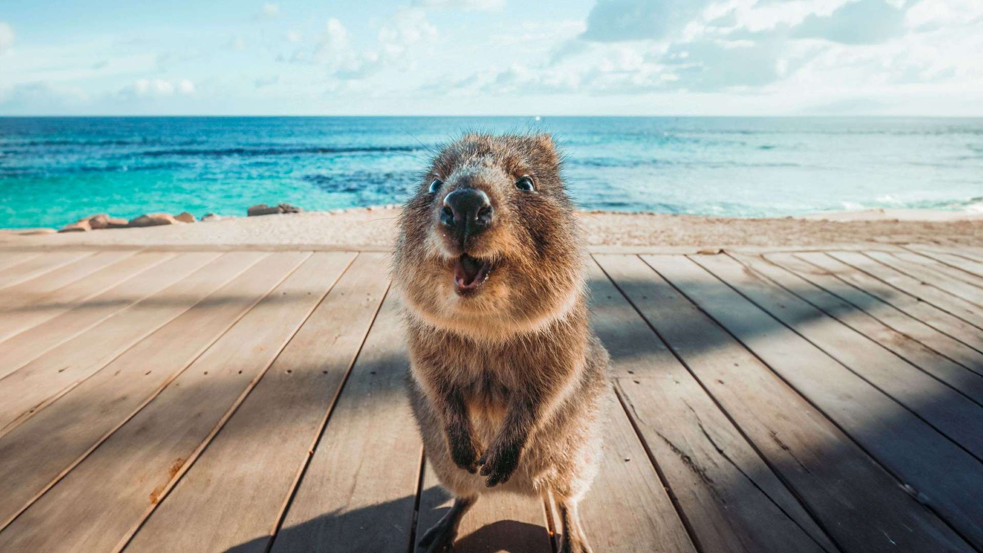 Destination Perth
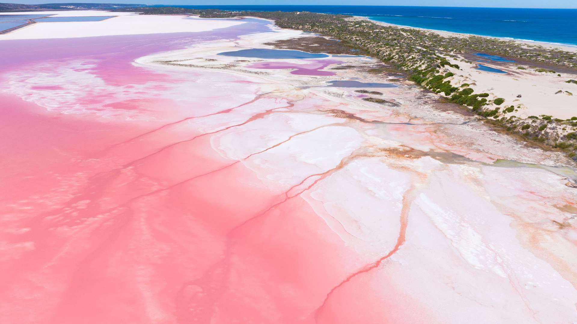 Australia's Coral Coast
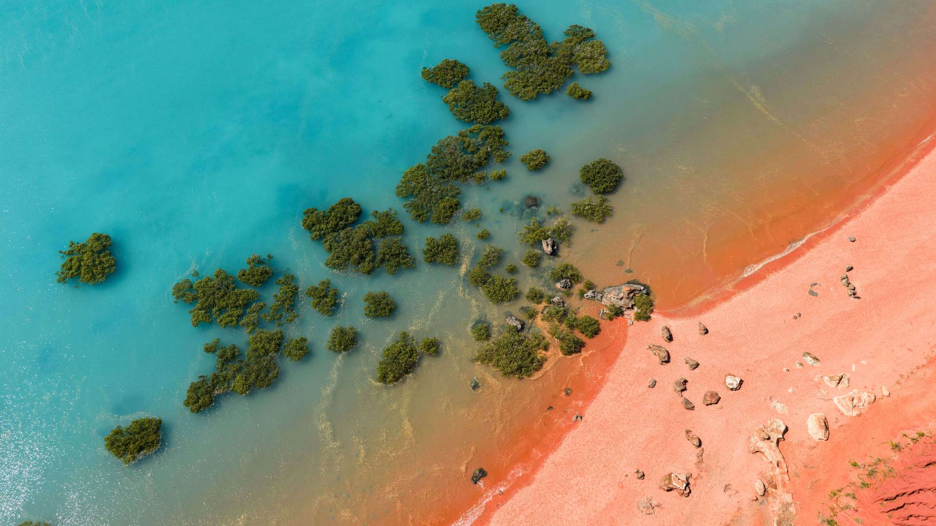 Australia's North West
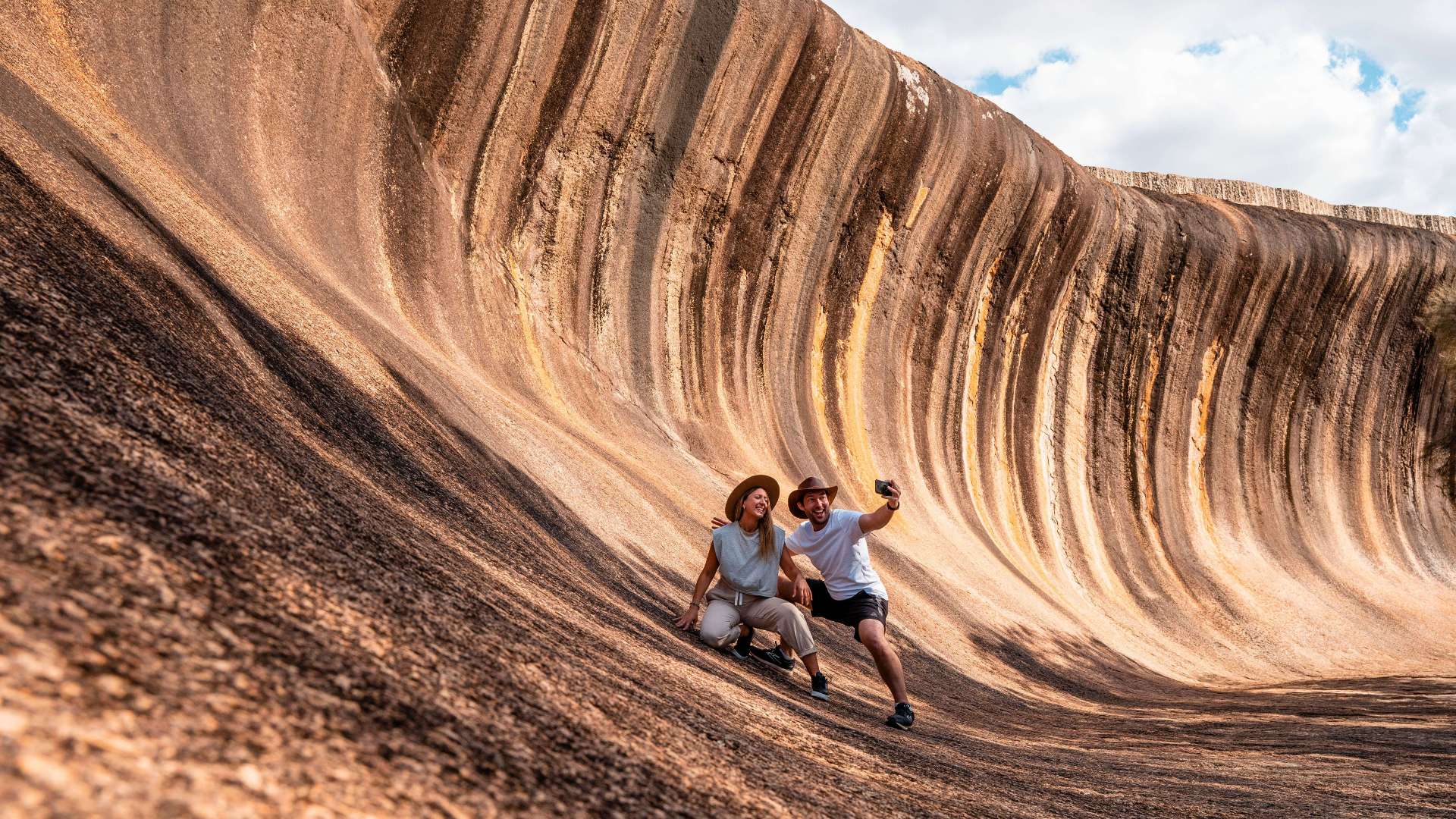 Australia's Golden Outback
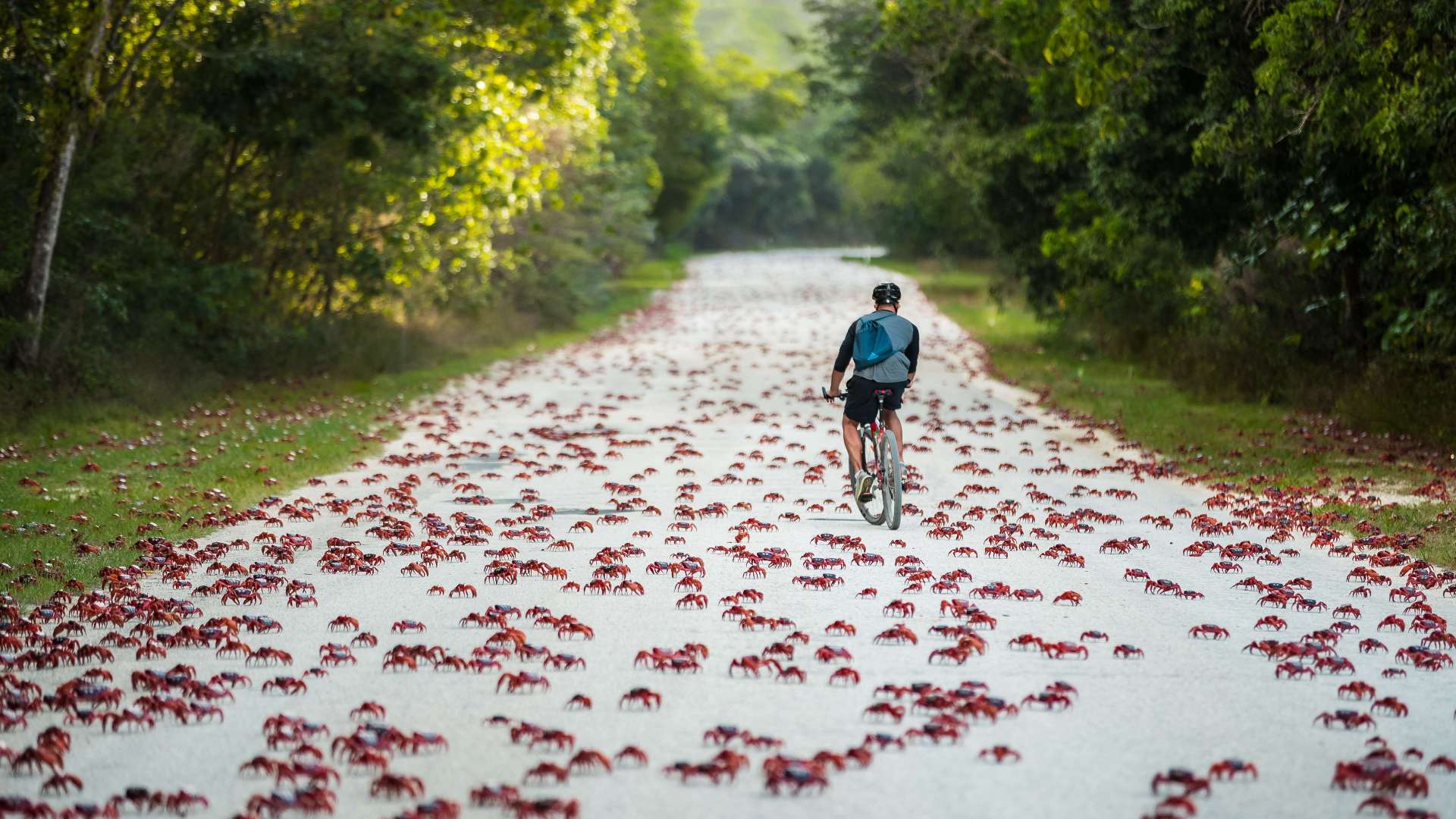 Christmas Island
 Limestone Coast
 Murray River, Lakes and Coorong
 Yorke Peninsula
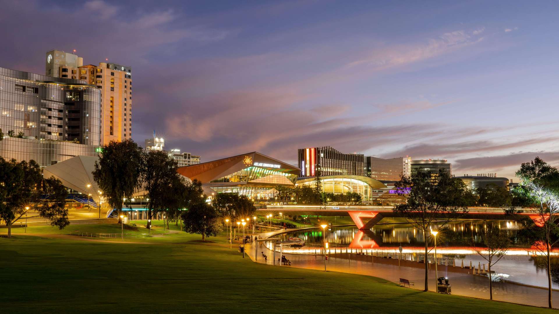 Adelaide
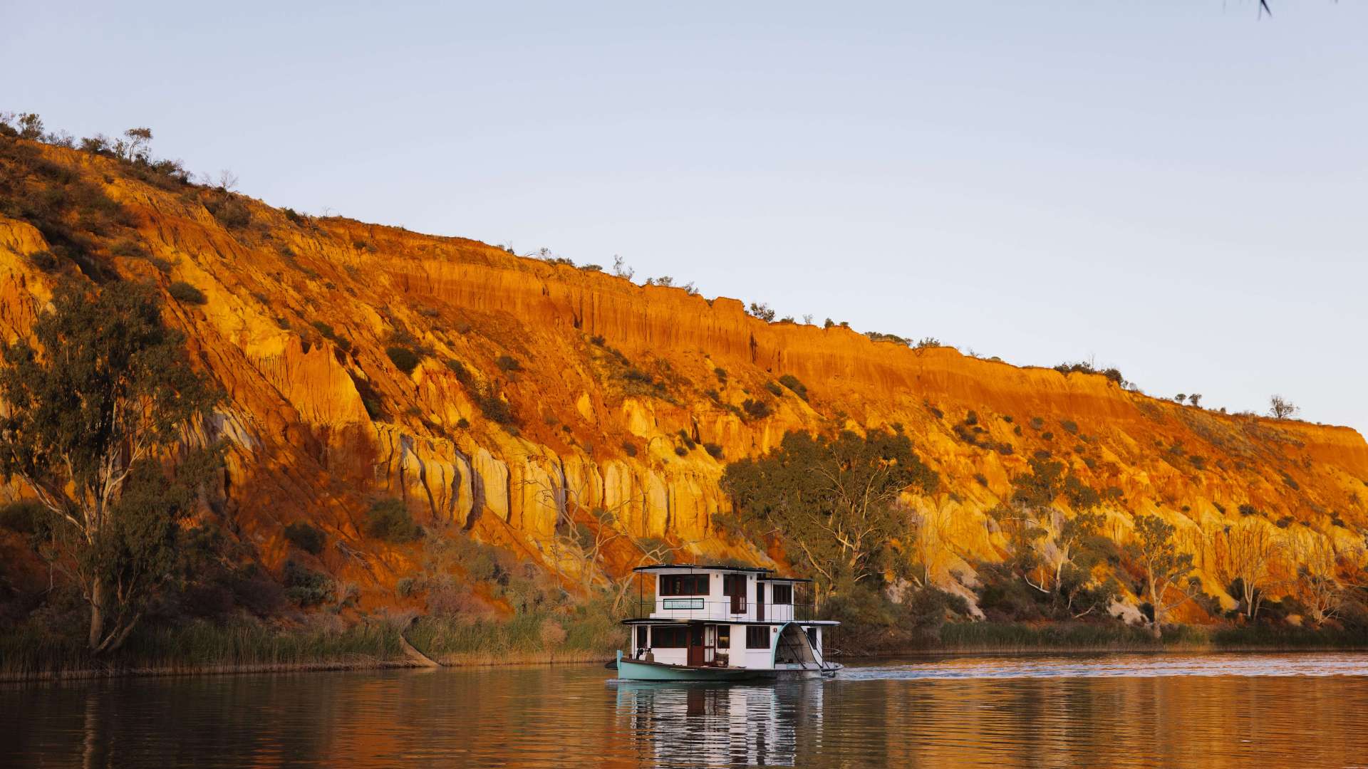 Riverland
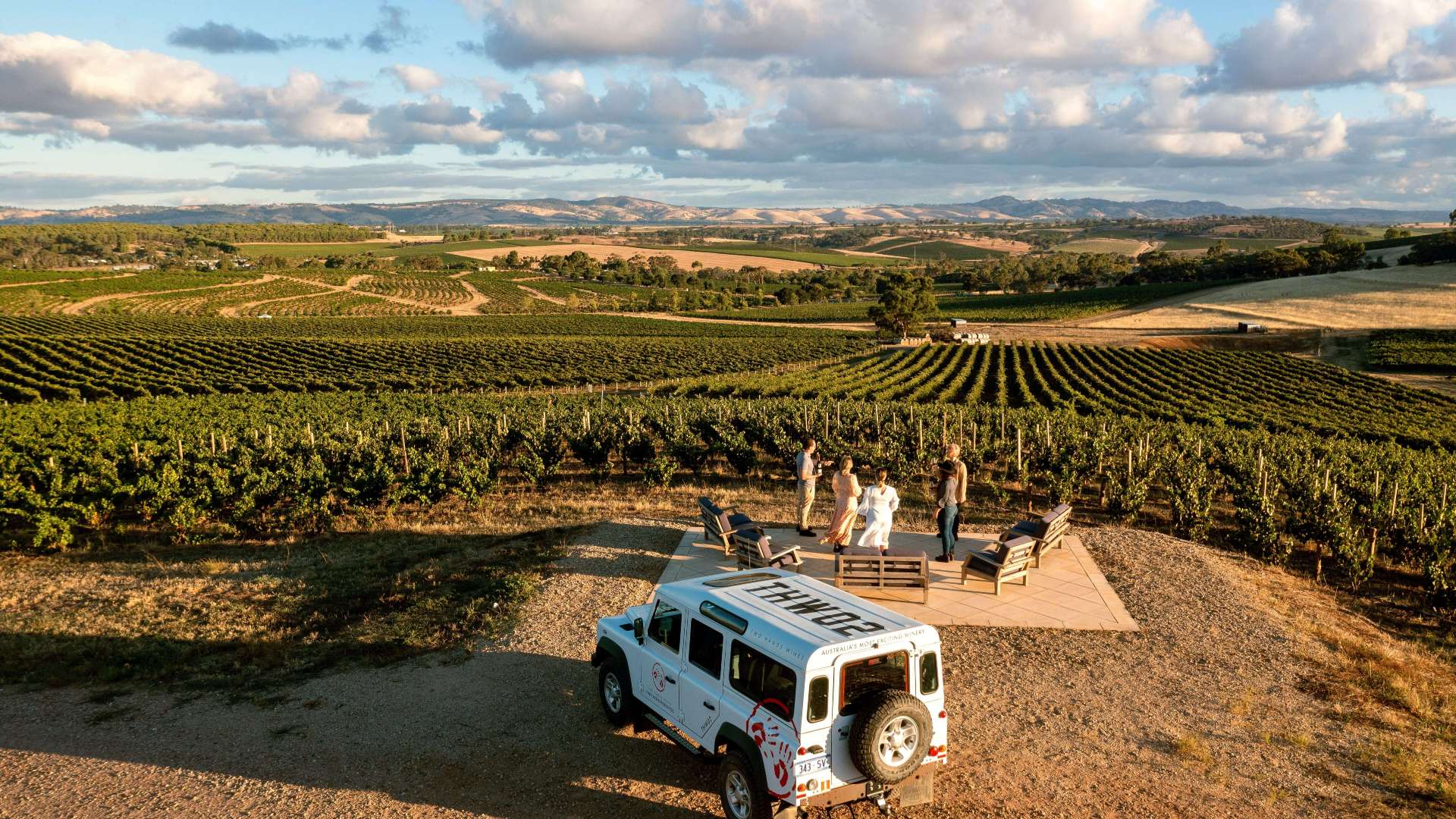 Barossa
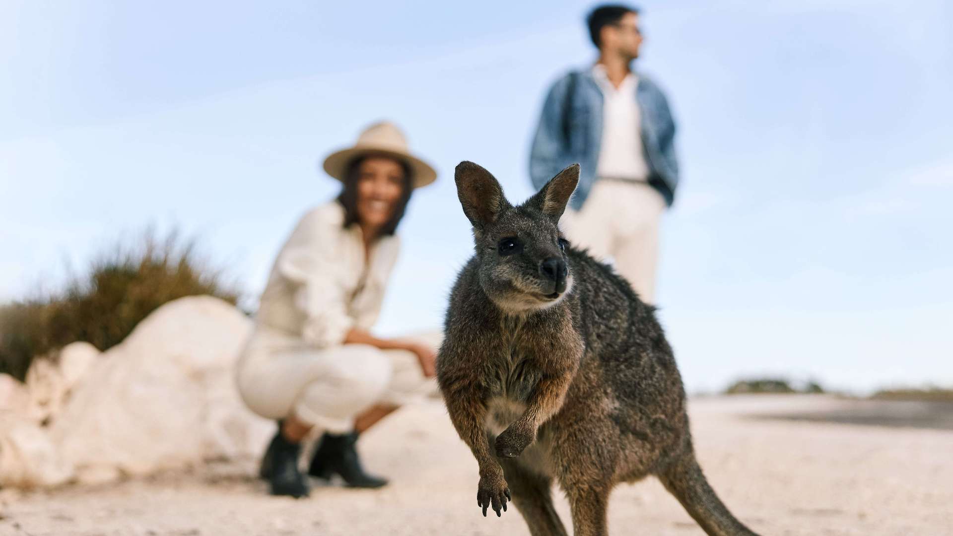 Kangaroo Island
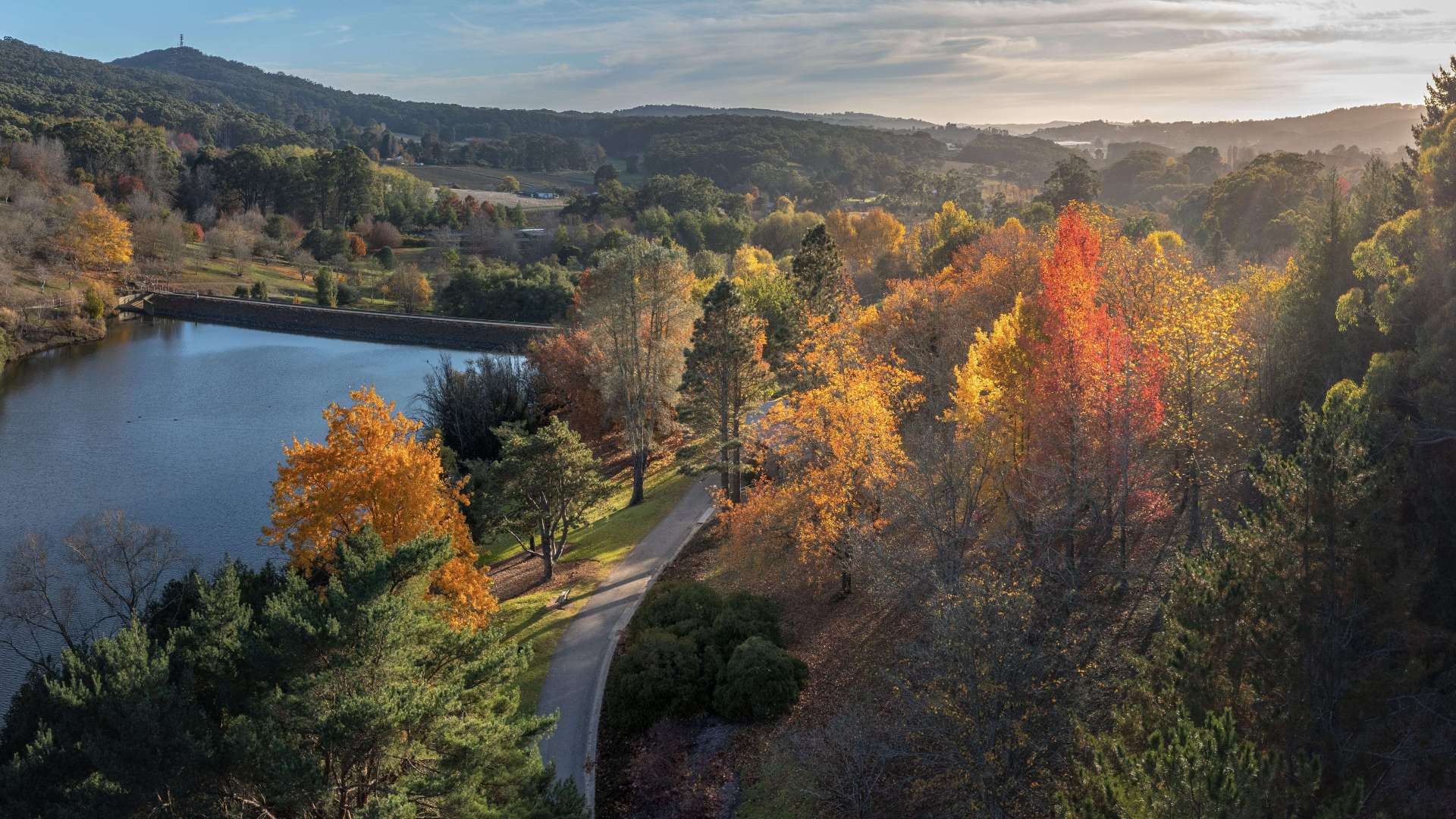 Adelaide Hills
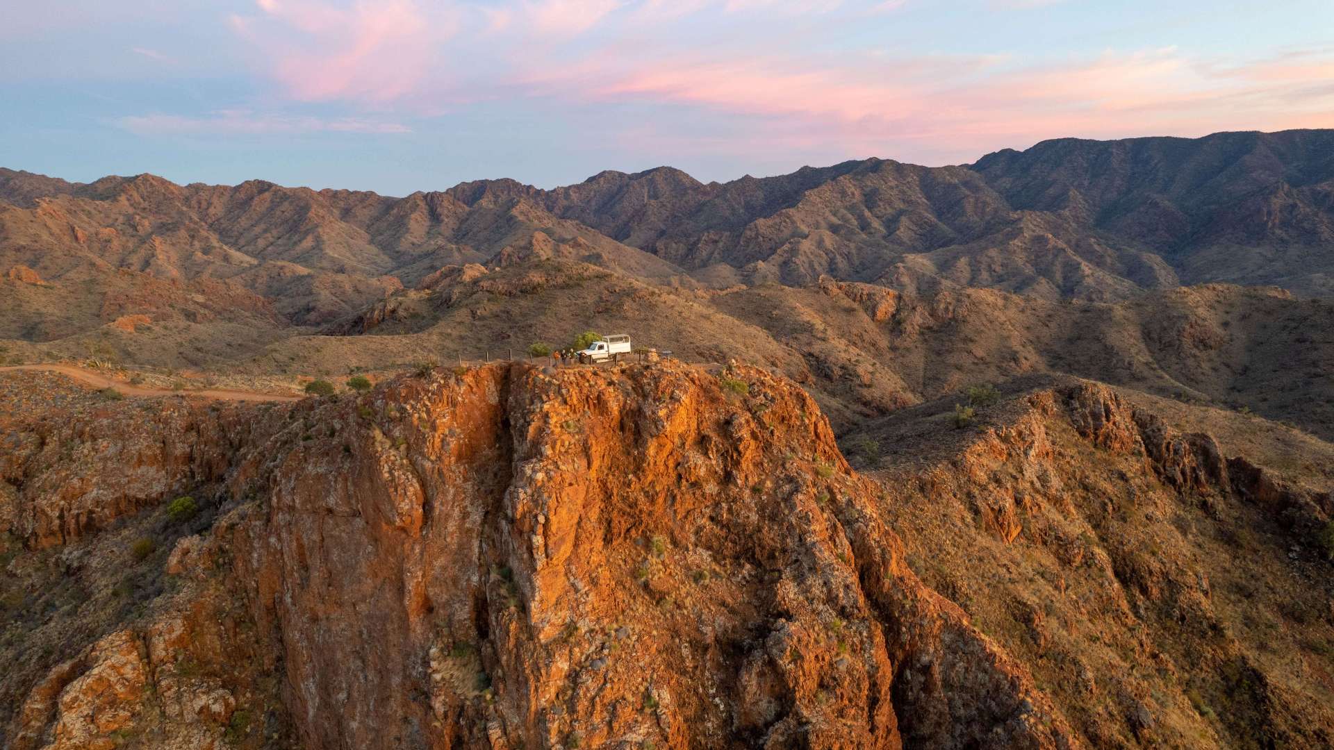 Flinders Ranges and Outback
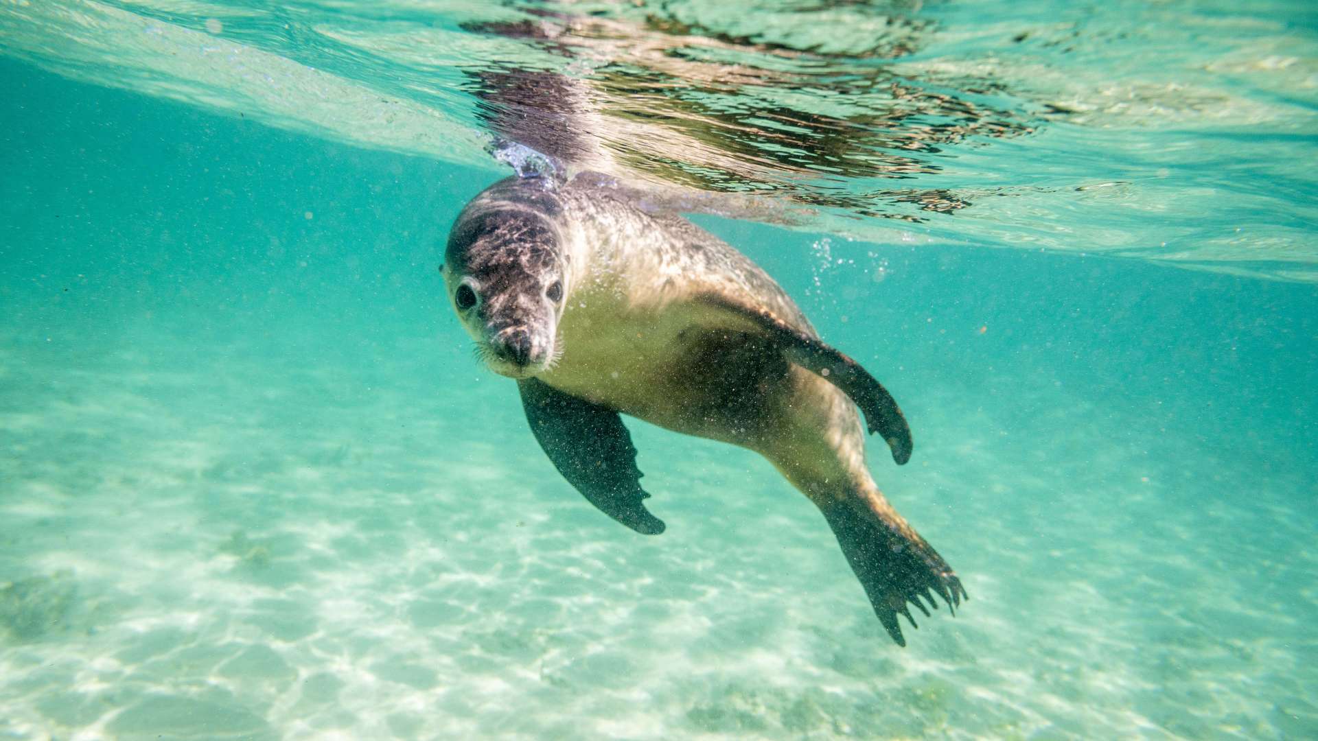 Eyre Peninsula
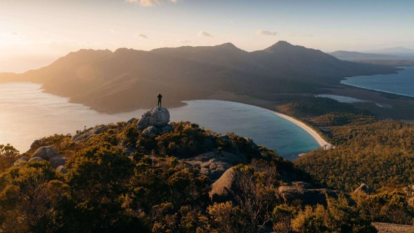 East Coast
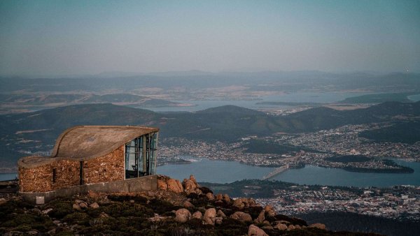 Hobart and South
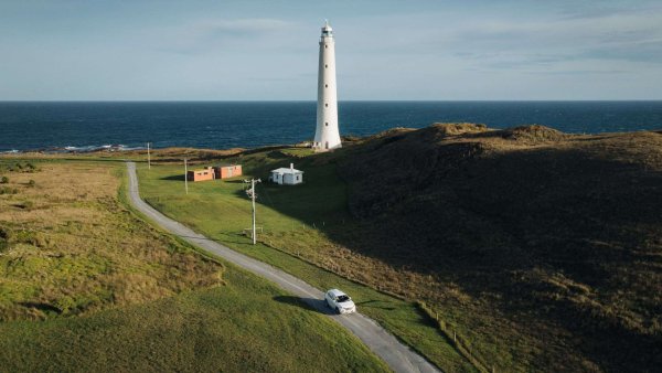 King Island
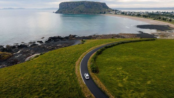 North West
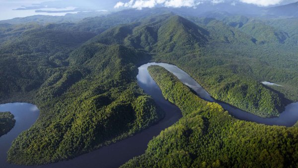 West Coast
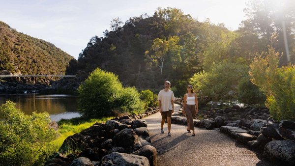 Launceston and North
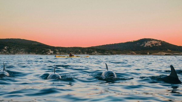 Flinders Island

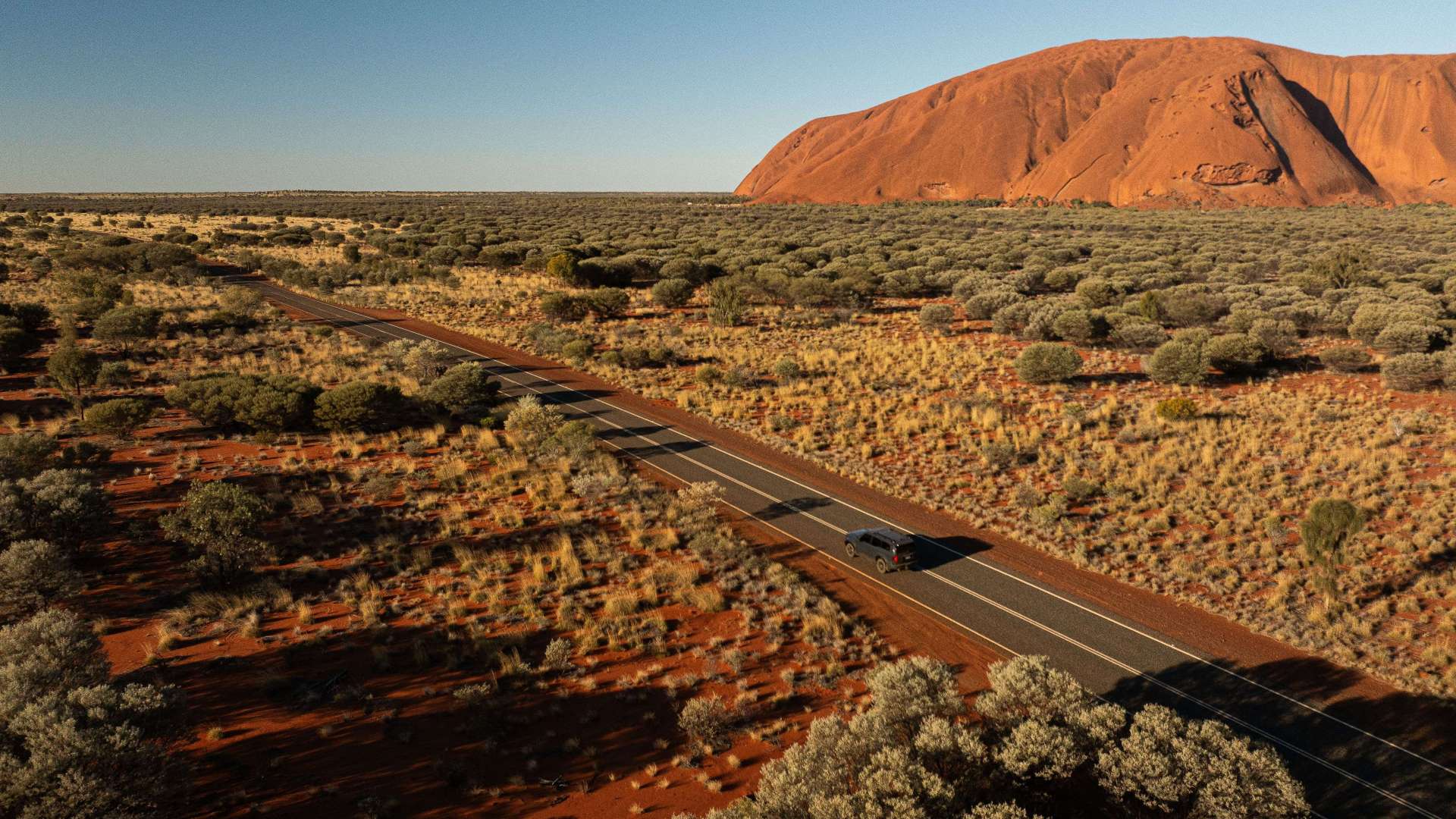 Uluru/Kata Tjuta Region
 Kakadu
 Alice Springs & Surrounds
 Darwin & Surrounds
 Tennant Creek & Barkly Region
 Arnhem Land
 Katherine & Surrounds
 Canberra Region


 Join Now
 Augathella Flood Markers

Augathella Flood Markers
Augathella, Queensland
These markers tell the story of the biggest flood in the history of this region. As the water in Warrego River rose and met with Bradley’s Gully, Charleville was submerged.
Each flood marker is placed at a specific location around town to tell the story at that place.
These markers show you how high the water was at that location, and include photos from 1990.
What you can do to learn more!
The flood display, at the SES building, tells the full story of the devastation caused to Charleville.
Can you visualise what height the flood waters reached?
To see the water height and impact of the flood - Follow the flood marker trail in Charleville and in Augathella. The flood markers in Charleville form a trail of destruction around town.
If you follow the flood markers trail, then you will really understand what the people and businesses of Charleville experienced in 1990. The flood markers include the water height, photos, a short story about the location, and a couple of fast facts about the flood. At some places you can enter the business and see how high the water was inside.
Can you imagine the damage and the effort to clean up the mess?
Gallery


 Email
Email


You might also like...
 Stowport, Tasmania
Start Planning your next thing With Us
Your next big adventure awaits, and Things to Do is here to help make that run smoothly! Join today and take advantage of our easy to use features.
Join Now
1 / 3